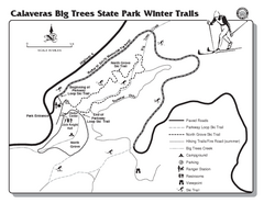
Calaveras Big Trees State Park Winter Map
Map of park with detail of winter ski trails and recreation zones
384 miles away
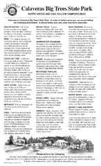
Calaveras Big Trees State Park Map
Map of park with detail of trails and recreation zones
384 miles away
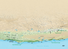
California Redwood Range Map
NPS prospective map of the coastal redwoord range in California, extending from Santa Cruz north to...
384 miles away
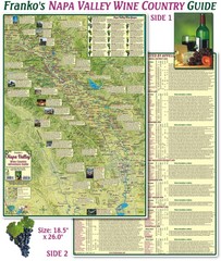
Napa Valley Wine Country Guide Map
Map of the Napa Valley Wine Country. With over 250 local Wineries listed. Printed on waterproof...
384 miles away
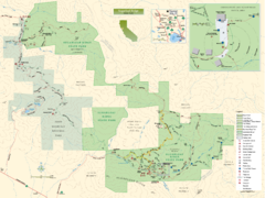
Sugarloaf Ridge State Park Map
Trail map of Sugarloaf Ridge State Park
384 miles away
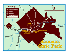
Bannack State Park Map
384 miles away
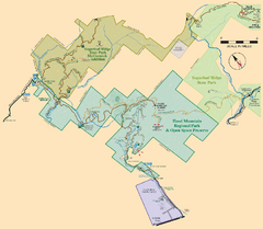
Hood Mountain Regional Park Map and Sugarloaf...
Park map of Hood Mountain Regional Park and Open Space Preserve and Sugarloaf Ridge State Park in...
384 miles away
Sugarloaf Ridge State Park Campground Map
Map of park with detail of trails and recreation zones
384 miles away
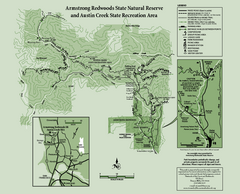
Armstrong Redwoods State Natural Reserve Map and...
Park map of Armstrong Redwoods State Natural Reserve and Austin Creek State Recreation Area in...
385 miles away
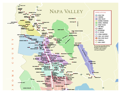
Napa County Wineries, California Map
Map of wineries in Napa County, California. Shows wineries and appellations.
386 miles away
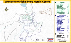
Nickel Plate Nordic Centre Ski Trail Map
Trail map from Nickel Plate Nordic Centre.
386 miles away
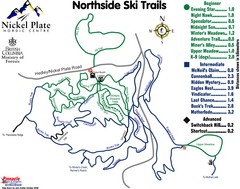
Nickel Plate Nordic Centre North Ski Trail Map
Trail map from Nickel Plate Nordic Centre.
387 miles away
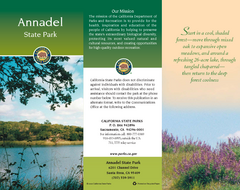
Annadel State Park Map
Map of park with detail of trails and recreation zones
387 miles away
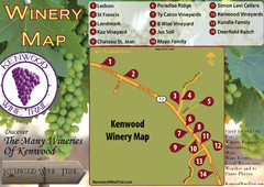
Kenwood Wine Tasting Map
387 miles away

Red Mountain Trail Map
Ski trail map
387 miles away
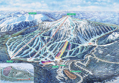
Apex Mountain Ski Trail Map
Official ski trail map of Apex Mountain ski area
387 miles away
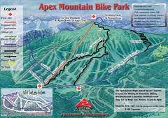
Apex Mountain Resort Biking Ski Trail Map
Trail map from Apex Mountain Resort, which provides downhill and terrain park skiing. It has 5...
388 miles away
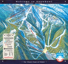
Montana Snowbowl Ski Trail Map
Trail map from Montana Snowbowl.
388 miles away
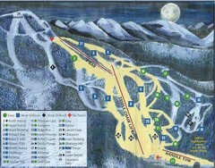
Marshall Mountain Ski Trail Map
Trail map from Marshall Mountain.
388 miles away
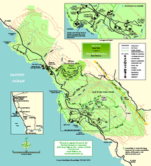
Salt Point State Park Map
Topo park map of Salt Point State Park and Kruse Rhododendron State Reserve. Shows trails by use...
388 miles away
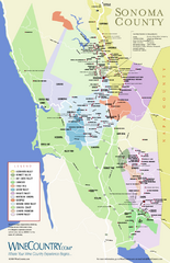
Sonoma Country Wine Map
Wine map of Sonoma, California area. Shows all vineyards.
389 miles away
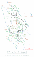
Thetis Island Map
Thetis Island map showing roads, properties, and the community trail.
389 miles away

Red Mountain Ski Trail Map
Trail map from Red Mountain.
389 miles away
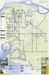
Bicycle Friendly Route Map
389 miles away
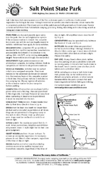
Salt Point State Park Campground Map
Map of campground region of park with detail of trails and recreation zones
389 miles away
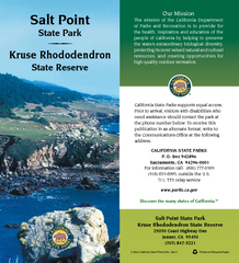
Salt Point State Park Map
Map of park with detail of trails and recreation zones
389 miles away
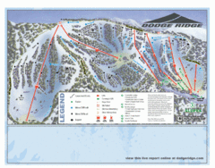
Dodge Ridge Ski Area Ski Trail Map
Trail map from Dodge Ridge Ski Area, which provides downhill, nordic, and terrain park skiing. It...
390 miles away

2006–08 Black Jack Nordic Map
Trail map from Black Jack.
390 miles away
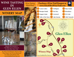
Glen Ellen Wine Tasting Map
390 miles away
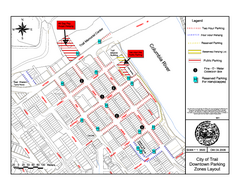
City of Trail Downtown Parking Map
Parking map of downtown Trail, British Columbia
390 miles away
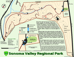
Sonoma Valley Regional Park Map
Trail map of 202 acre Sonoma Valley Regional Park.
390 miles away

City of Trail BC Map
Map of city of Trail, BC on the Columbia River
390 miles away
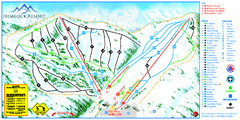
Hemlock Resort Ski Trail Map
Trail map from Hemlock Resort, which provides downhill and terrain park skiing. It has 4 lifts...
391 miles away
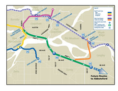
Highway 1 Rapid Bus Service Map
391 miles away
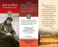
Jack London State Historic Park Map
Map of park with detail of trails and recreation zones
391 miles away
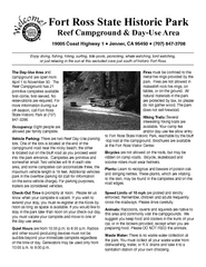
Fort Ross State Historic Park Campground Map
Map of park with detail of trails and recreation zones
392 miles away
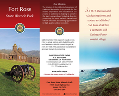
Fort Ross State Historic Park Map
Map of park with detail of trails and recreation zones
392 miles away
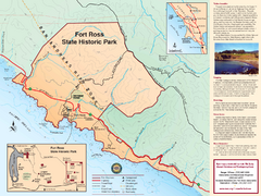
Fort Ross State Historic Park Map
Map of park with detail of trails and recreation zones
392 miles away
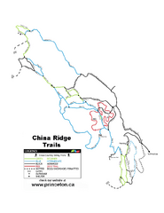
China Ridge XC Ski Trail Map
Trail map from China Ridge XC, which provides nordic skiing.
393 miles away
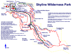
Skyline Wilderness Park Map
Trail map of Skyline Wilderness Park in Napa, California
393 miles away

