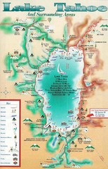
Lake Tahoe and nearby activities Map
Lake Tahoe and nearby resorts and activities
327 miles away
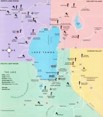
Lake Tahoe Area, California Map
Recreation map of Lake Tahoe, California. Points of interest shown include golfing, skiing, and...
327 miles away
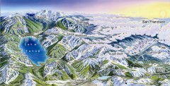
Lake Tahoe Ski Resort map
Winter map of Lake Tahoe showing relative position of all ski resorts. South-facing view. Created...
327 miles away
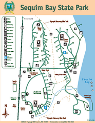
Sequim Bay State Park Map
Map of park with detail of trails and recreation zones
327 miles away
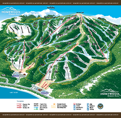
Homewood Mountain Resort Ski Trail Map
Trail map from Homewood Mountain Resort, which provides downhill and terrain park skiing. It has 7...
327 miles away
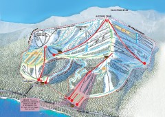
Homewood Ski Trail Map
Official ski trail map of Homewood ski area from the 2007-2008 season.
327 miles away
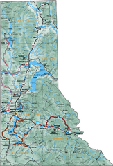
Northern Idaho Road Map
327 miles away
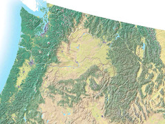
Northwest USA topo Map
328 miles away
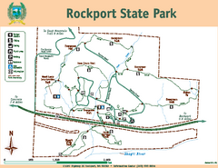
Rockport State Park Map
Map of park with detail of trails and recreation zones
328 miles away
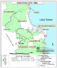
West Shore Lake Tahoe Off-highway Vehicle Map
Off-highway vehicle map of the West Shore of Lake Tahoe. Roads open to motorcycles, ATVs, and 4x4s...
328 miles away
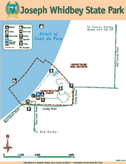
Joseph Whidbey State Park Map
Map of park with detail of trails and recreation zones
328 miles away
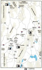
Camping in Elko County, Nevada Map
Map of camping opportunities in Elko County, Nevada, showing camp grounds, roads and towns.
329 miles away
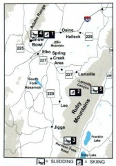
Skiing and Sledding in Elko County, Nevada Map
Map of skiing and sledding opportunities in Elko County, Nevada, showing skiing and sledding...
329 miles away
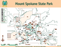
Mount Spokane State Park Map
Map of park with detail of trails and recreation zones
329 miles away
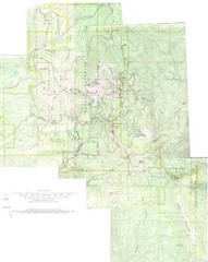
Mount Spokane Trail Map
Contour map of Mount Spokane
329 miles away
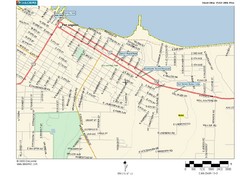
Port Angeles City Map
329 miles away
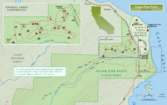
Sugar Pine Point State Park North Map
Map of northern region of park with detail of trails and recreation zones
330 miles away
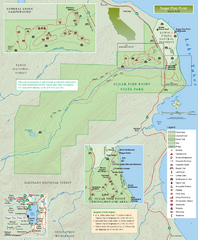
Sugar Pine Point State Park Map
Map of park with detail of trails and recreation zones
330 miles away
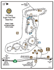
Sugar Pine Point State Park Campground Map
Map of campground region of park with detail of trails and recreation zones
330 miles away
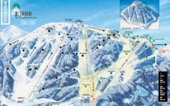
Mt. Spokane Ski Trail Map
Official ski trail map of Mount Spokane ski area from the 2006-2007 season.
330 miles away
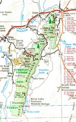
Ruby Mountains Area Map
Included are the communities of Elko, Wells, Deeth, Jiggs, Lee, Lamoille and Spring Creek. Some...
330 miles away

Sugar Pine Point State Park South Map
Map of southern region of park with detail of trails and recreation zones
330 miles away
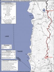
Tahoe Rim Trail: Spooner Summit to Kingsbury...
Topographic hiking map of the Spooner Summit-Kingsbury North leg of the Tahoe Rim Trail. Bike and...
331 miles away
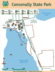
Conconully State Park Map
Map of park with detail of trails and recreation zones
331 miles away
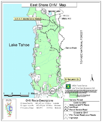
East Shore Lake Tahoe Off-highway Vehicle Map
Off-highway vehicle map of the East Shore of Lake Tahoe, California. Shows roads open to...
332 miles away

Metropolis Nevada Ghost Town Map
332 miles away
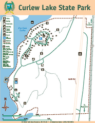
Curlew Lake State Park Map
Map of park with detail of trails and recreation zones
332 miles away
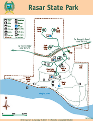
Rasar State Park Map
Map of park with detail of trails and recreation zones
332 miles away
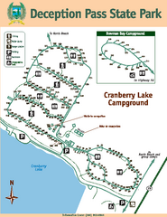
Deception Pass State Park Map
Map of park with detail of trails and recreation zones
333 miles away
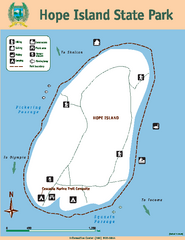
Hope Island State Park Map
Map of park with detail of trails and recreation zones
333 miles away
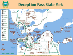
Deception Pass State Park Map
Map of park with detail of trails and recreation zones
333 miles away
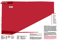
Silver Mountain Resort Ski Trail Map
Trail map from Silver Mountain Resort, which provides downhill, night, and terrain park skiing. It...
333 miles away
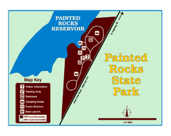
Painted Rocks State Park Map
Located in the scenic Bitterroot Mountains, this 23-acre park offers boating and water sport...
334 miles away
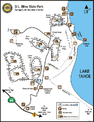
D.L. Bliss State Park Campground Map
Map of park with detail of trails and recreation zones
334 miles away
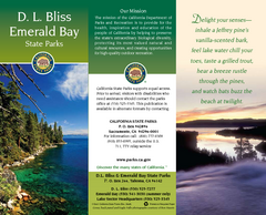
D.L. Bliss State Park Map
Map of park with detail of trails and recreation zones
334 miles away
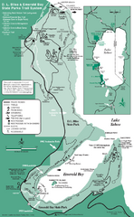
Emerald Bay State Park and DL Bliss State Park...
Trail map of Emerald Bay State Park and DL Bliss State Park on the shores of Lake Tahoe, California
335 miles away
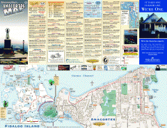
Fidalgo Island tourist map
Tourist map of Fidalgo Island in Anacortes, Washington. Shows recreation and points of interest.
336 miles away
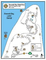
Emerald Bay State Park Campground Map
Map of park with detail of trails and recreation zones
336 miles away
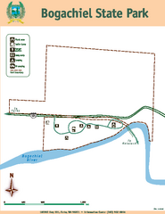
Bogachiel State Park Map
Map of park with detail of trails and recreation zones
337 miles away

