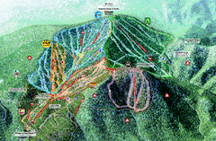
Northstar Ski Trail Map
Official ski trail map of Northstar-at-Tahoe ski area from the 2007-2008 season.
315 miles away
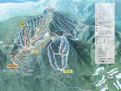
Northstar-at-Tahoe Ski Trail Map
Official trail map of Northstar-at-Tahoe ski area from the 2009-2010 season
315 miles away
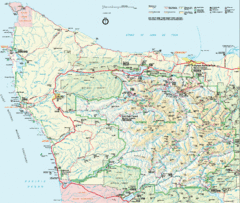
Olympic National Park Map
316 miles away
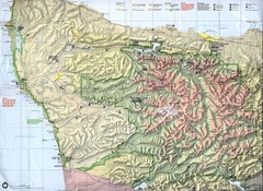
Olympic National Park Map
316 miles away
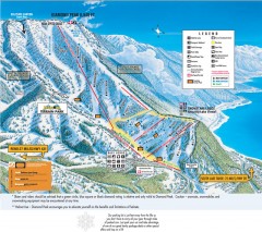
Diamond Peak Ski Trail Map
Official ski trail map of Diamond Peak ski area from the 2007-2008 season.
316 miles away
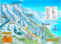
Diamond Peak Ski Trail Map
Trail map from Diamond Peak.
317 miles away
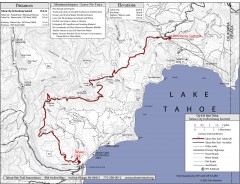
Tahoe Rim Trail: Tahoe City to Brockway Summit Map
Topographic hiking map of the Tahoe City-Brockway Summit leg of the Tahoe Rim Trail. Shows trail...
317 miles away
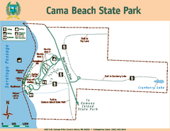
Cama Beach State Park Map
Map of park with detail of trails and recreation zones
317 miles away
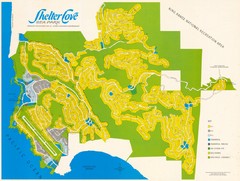
Shelter Cove Map
Shelter Cove Subdivision Map. Shows all streets, houses, commercial buildings, gas stations, and...
317 miles away
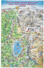
Reno and Lake Tahoe Area Golf map
Illustrated map showing all golf courses in the Reno/lake Tahoe area, 2006 version. To view more...
317 miles away
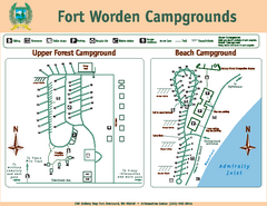
Fort Worden Campgrounds Map
Map of park campgrounds
318 miles away
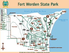
Fort Worden State Park Map
Map of park with detail of trails and recreation zones
318 miles away
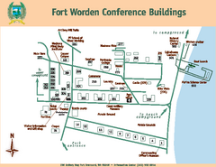
Fort Worden Conference Buildings Map
Map of conference buildings in Fort Worden State Park
318 miles away
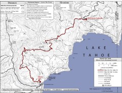
Tahoe Rim Trail Map
318 miles away
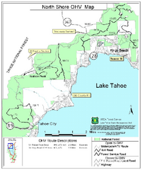
North Shore Lake Tahoe Off-Highway Vehicle Map
Off-highway vehicle map of the area around the North shore of Lake Tahoe. Roads open to motorcycles...
318 miles away
Nevada County Economic Resource Council Activity...
The ERC supports many different businesses in western Nevada County. We provide business assistance...
318 miles away
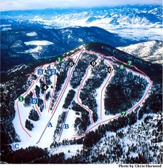
Loup Loup Ski Bowl Ski Trail Map
Trail map from Loup Loup Ski Bowl, which provides downhill, night, and nordic skiing. It has 2...
319 miles away
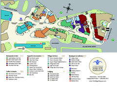
Squaw Valley Base Village Map
Village map of base of Squaw Valley Ski Resort, Lake Tahoe, California. Shows all restaurants...
319 miles away
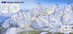
Squaw Valley USA Ski Trail Map
Trail map from Squaw Valley USA, which provides downhill, night, nordic, and terrain park skiing...
319 miles away
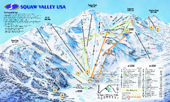
Squaw Valley USA Trail Map
Trail map of Squaw Valley ski area in Lake Tahoe, California
319 miles away
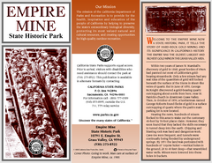
Empire Mine State Historic Park Map
Map of park with detail of trails and recreation zones
319 miles away
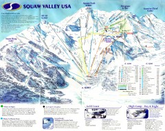
Squaw Valley Ski Trail Map
Scan of ski trail map of Squaw Valley ski area from the 2000-2001 season.
320 miles away
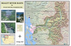
Skagit River Map
Skagit River Basin Overview Map (Pink shading is the FEMA 100 Year Flood)
320 miles away
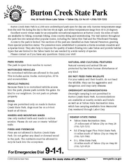
Burton Creek State Park Map
Map of park with detail of trails and recreation zones
321 miles away
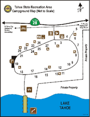
Tahoe State Recreation Area Campground Map
Map of park with detail of trails and recreation zones
321 miles away
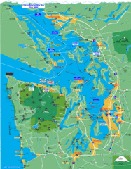
Seattle Ferry Guide Map
Map of ferries around Seattle, Puget Sound and Olympic Peninsula
321 miles away
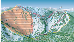
Alpine Meadows Ski Area Backside Ski Trail Map
Trail map from Alpine Meadows Ski Area, which provides downhill and terrain park skiing. It has 13...
321 miles away
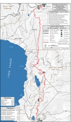
Tahoe Rim Trail: Tahoe Meadows to Spooner Summit...
Topographic hiking map of the Tahoe Meadows-Spooner Summit leg of the Tahoe Rim Trail. Shows bike...
321 miles away
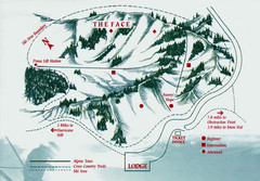
Hurricane Ridge Ski Trail Map
Trail map from Hurricane Ridge.
321 miles away

Coupeville tourist map
Tourist map of Coupeville, Washington. Shows all businesses.
322 miles away

Granite Chief Wilderness Map
Trail map of Granite Chief Wilderness in Lake Tahoe region. Shows trails (inlcuding Pacific Crest...
322 miles away
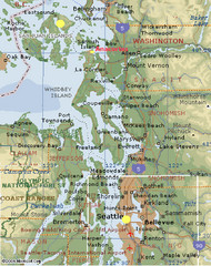
Washington State - West Coast Map
Washington State - West Coast Map
323 miles away

Carson River Aquatic Trail Map
323 miles away
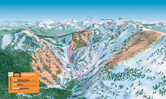
Alpine Meadows Ski Trail Map (Front)
Official ski trail map of Alpine Meadows ski area from the 2005-2006 season.
323 miles away
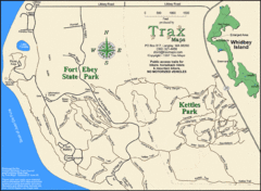
Ft Ebey/Kettle Park Trail Map
Trail map of Fort Ebey Park and Kettle Park, Washington
323 miles away
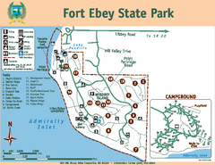
Fort Ebey State Park Map
Map of park with detail of trails and recreation zones
323 miles away
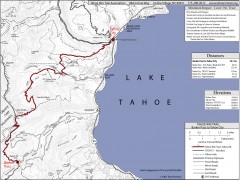
Tahoe Rim Trail: Barker Pass to Tahoe City Map
Topographic hiking map of the Barker Pass-Tahoe City leg of the Tahoe Rim Trail. Shows trailheads...
324 miles away
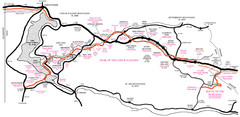
Trail of the Coeur d'Alenes Map
Shows the Trail of the Coeur d'Alenes, a 72 mile bike path that follows the Union Pacific...
325 miles away

Oak Harbor tourist map
Tourist map of Oak Harbor, Washington. Shows all businesses.
326 miles away

Digital Elevation Model Satellite Tahoe Map
Digital Elevation Models
326 miles away

