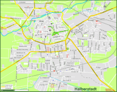
Halberstadt Map
Street map of Halberstadt town
110 miles away
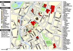
Chemnitz Tourist Map
Tourist map of Chemnitz city center
110 miles away
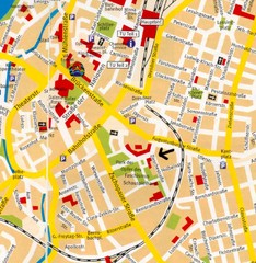
Chemnitz Center Map
Street map of Chemnitz center
110 miles away
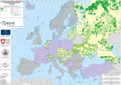
National Ecological Networks of European...
Shows core areas and ecological corridors in European countries with Ecological Network plans. By...
112 miles away
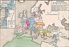
Old Map of Europe - 12th century
118 miles away
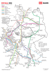
D ICE Netz Map
120 miles away
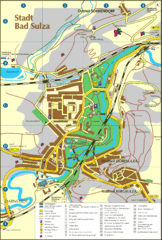
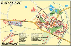
Bad Sulza Map
Tourist street map of Bad Sulza
121 miles away
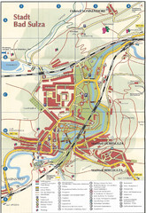
Bad Sulza Tourist Map
Tourist street map of Bad Sulza
121 miles away
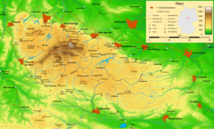
Harz Nature Park Map
Shaded relief map of Naturpark Harz.
126 miles away
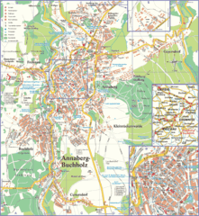
Annaberg-Buchholz Tourist Map
Tourist map of Annaberg-Buchholz region
126 miles away
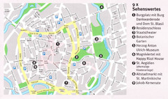
Braunschweig Map
127 miles away
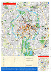
Braunschweig Map
127 miles away
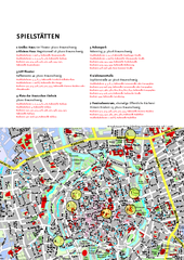
Braunschweig Tourist Map
Tourist map of Bruanschweig
127 miles away
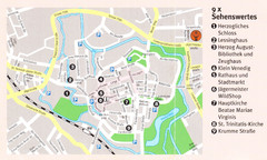
Wolfenbuttel Map
127 miles away
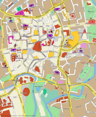
Braunschweig Map
Street map of Braunschweig center
127 miles away
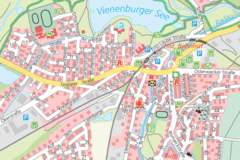
Vienenburg Center Map
Street map of town center
129 miles away
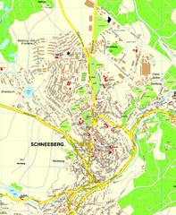
Schneeberg Map
Street map of city of Schneeberg
129 miles away
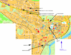
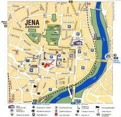
Jena City Map
City map of Jena with information
130 miles away
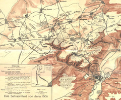
1806 Jena, Germany Map
Historic guide to Jena, Germany in German
130 miles away
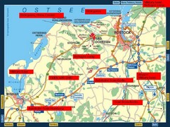
Rostok Region Tourist Map
131 miles away

Rostock Map
131 miles away
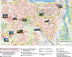
Rostock Tourist map
Tourist map of Rostock
131 miles away
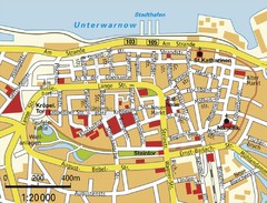
Rostock Center Map
Street map of town center
132 miles away

Jena Topographic Map
Guide to topography and surrounding area of Jena, Germany
133 miles away
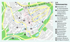
Goslar Map
134 miles away
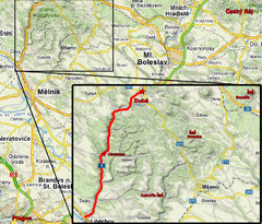
Czech Republic Tourist Map
135 miles away
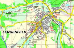
Lengenfeld Map
Street map of Lengenfeld
135 miles away
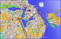
Stralsund Tourist Map
Tourist map of Stralsund
135 miles away
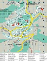
Sankt Andreasberg Tourist Map
Sankt Andreasberg tourist map
136 miles away
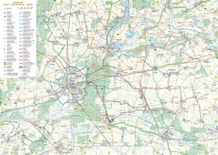
mapa rowerowa okolice leszna Map
136 miles away
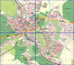
Doberan Map
Street map of city of Doberan
137 miles away

