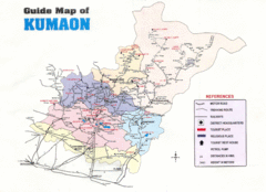
Kumaon Map
638 miles away

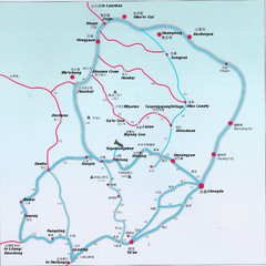
Tea Horse Caravan Route Map
The Tea Horse Road had two main routes stemming from Yunnan and Sichuan respectively and converging...
647 miles away
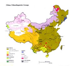
China Ethnolinguistic Map
Map of various ethnolinguistic groups in China
654 miles away
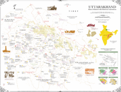
Uttarakhand Historical Map
Places of interest and historical annotations in state of Uttarakhand, India
654 miles away
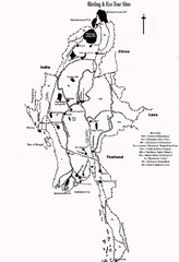
Southeast Asia Ecotourism Map
Bird watching, ecotourism.
654 miles away
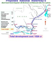
India Proposed National Waterway -5 Map
India inland waterways map showing the integration of the East Coast Canal with Brahmani and...
655 miles away
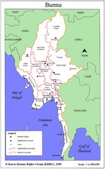
Myanmar Map
Map of Myanmar (Burma) with details of regional divisions
660 miles away
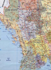
Myanmar Tourist Map
Detailed map of the most popular tourist spots of Myanmar with cities, roads and railways also...
660 miles away
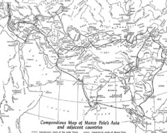
Marco Polo's Route Map
Marco Polo's route through and around Asia.
669 miles away
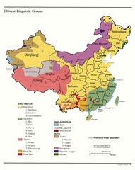
China Linguistics Map
Map of linguistics groups throughout China
670 miles away
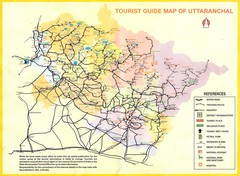
Uttarakhand Tourist Map
673 miles away
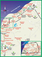
Pagan Tourist Map
675 miles away
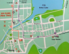
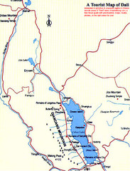
Dali City Map
City map of Dali, China. Shows train station and bus routes.
680 miles away
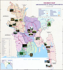
India Archaelogical Sites Map
Archaeological sites and monuments.
681 miles away
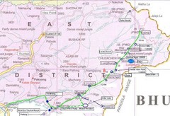
India Silk Road Map
700 miles away
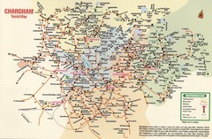
Tourist Guide Map
Tourist Guide Map of Hindu Pilgrimage Site
706 miles away
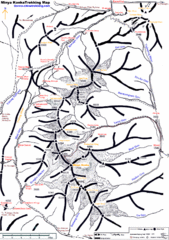
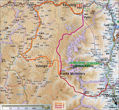
Minya Konka Trekking Map
Trekking map of Minya Konka (Mt. Gongga / Gongga Shan). Minya Konka is located in eastern Tibet...
706 miles away
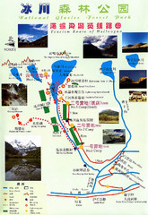
Hailuogou National Glacier Park Map
Trails, rivers and lakes.
716 miles away

Central Asia: Major Muslim Ethnic Groups Regional...
721 miles away
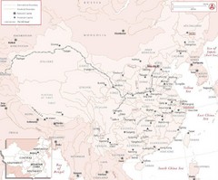
China Silk Road Map
Map of China which identifies provinces, cities, mountains, capitals and rivers.
721 miles away
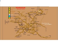
Dehradun City Map
City map of Dehradun with colleges and schools
731 miles away
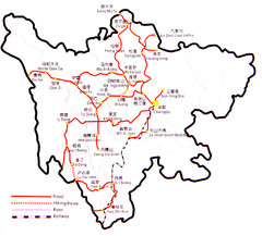
Sichuan Tourist Map
Road and trail guide to Sichuan area of China
738 miles away

Dunhuang China Tourist Map
Hand drawn map with pictures of tourist attractions for Dunhuang, China.
746 miles away
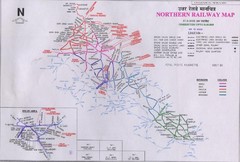
Northern India Rail Map
747 miles away
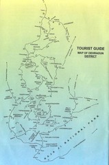
Tourist Guide of Dehradun District India Map
Hand drawn map of Dehradun District, India showing distances, roads, towns and Raja Ji National...
748 miles away
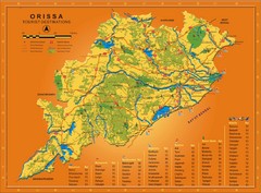
Orissa Map
Map of Orissa shows tourist destinations, wildlife refuges, beaches and waterfronts.
762 miles away
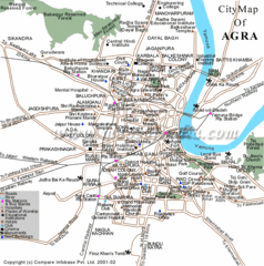
Agra City Tourist Map
769 miles away
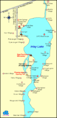
Inlay Lake Map
Map of the Inlay Lake and its surrounding area.
771 miles away
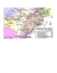
Orissa Railway Map
Map of Indian Railways in Orissa. Includes all railways, roads, and cities.
771 miles away
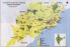
Orissa Tourist Map
771 miles away

