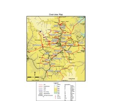
Thimphu trekking trails Map
Overview map of day hikes around Thimphu, Bhutan
175 miles away
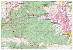
Trail fom Youth Center Thimphu to Pumola...
Way to Pumola monastery
177 miles away
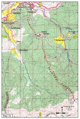
Simtokha-Talakha trail near Thimphu Map
Simtokha to Talakha trail
177 miles away
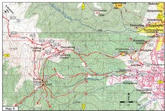
Dechenphodrang and Pajoding, Thimphu Map
Dechenphodrang to Pajoding, Tujedrag and Pumola monastaries
177 miles away
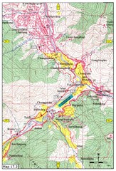
Khasadrapchu to Thimphu trail pt 2 Map
Khasadrapchu to Thimphu trail part 2. (Rama to Thimphu)
178 miles away

Trail to Bimelang Lake, Thimphu Map
Bimelang Lake Trail
178 miles away
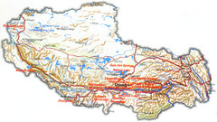
Tibet Tourist Map
Tourist map of Tibet showing interesting sights, cities and topography in English.
178 miles away
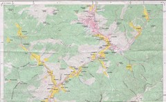
Old Map of Thimphu 1
179 miles away
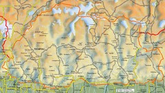
Bhutan road Map
179 miles away
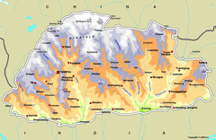
Bhutan Map
179 miles away
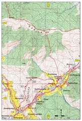
Khasadrapchu to Thimphu trail pt 1 Map
184 miles away
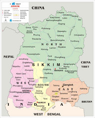
Sikkim Travel Map
Sikkim, India Travel Map with cities, roads and borders.
184 miles away

Tibet Relief Map
A Relief Map of Tibet with pictures of tourist sites, roads, cities and other places of interest...
186 miles away
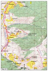
Trail from Sisina to Kunzangdechen monastery Map
Sisina to Kunzangdechen trail
186 miles away
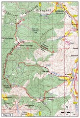
Trail to Bemri Lhakhang Map
Trail to Bemri Lhakhang south of Thimphu
187 miles away
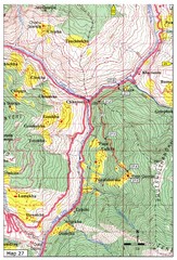
Trail to Paga Monastery Map
Trail to Paga Monastery near Chudzomtsa
189 miles away
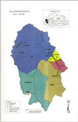
Haa Dzongkhag, Bhutan Road Map
192 miles away
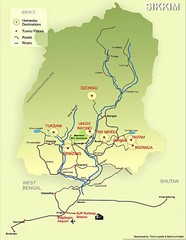
Sikkim Tourist Map
193 miles away
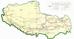
Tibet Map
Map of Tibet showing roads, towns, rivers, railways and mountains.
201 miles away
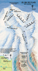
Mt Everest Rongbu Glacier Climbing Map
245 miles away
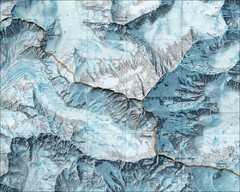
Mount Everest Map
245 miles away
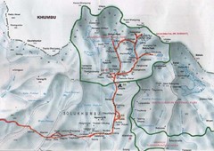
Mt. Everest Map
245 miles away
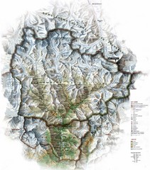
Sagarmatha National Park Map
Shows Sagarmatha National Park, Nepal and surrounding National Parks near Mt. Everest. Shows...
264 miles away
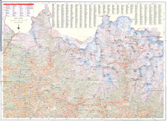
Sagarmatha National Park Map
Detailed topo map of Sagarmatha National Park in Nepal. Shows park boundary, peaks, passes...
272 miles away
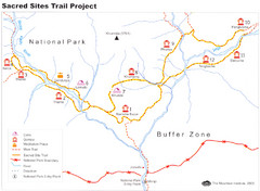
Khumbu Region Sacred Sites Trail Map
Shows the Sacred Site Trail in the Khumbu region of Nepal in Sagarmatha National Park. From the...
277 miles away

Kurigram District Map
317 miles away
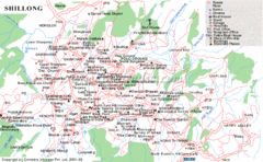
Shillong City Map
Streets, points of interest and more are clearly labeled on this map and legend.
320 miles away
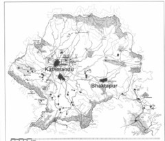
Kathmandu Valley Map
338 miles away
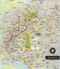
Kathmandu City Tourist Map
Tourist Map of Kathmandu, Nepal showing tourist attractions, streets, walking route and trolley...
338 miles away
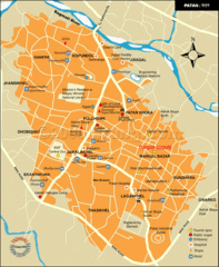
Patan Lalitpur, Nepal Guide Map
339 miles away
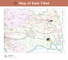
Map of East Tibet X
339 miles away
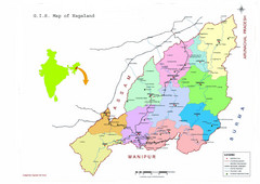
Nagaland Tourist Map
Tourist map of state of Nagaland, India. Shows tourist destinations and roads.
376 miles away
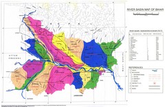
River Basin of Bihar Map
River Basin's shown in color on Map
382 miles away
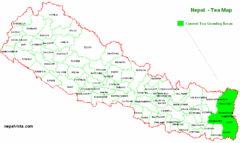
Nepal Tea Growing Regions Map
386 miles away
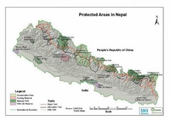
Nepal Protected Areas Map
386 miles away
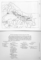
Early Geographical Locations of Vedic Schools Map
The map shows the homelands and the early spreading of the major Vedic sakhas in hte Middle and...
386 miles away
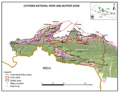
Royal Chitwan National Park Nepal Map
391 miles away


