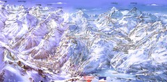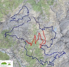
Verbier 60k Course Profile Map
Course Map and Elevation Profile for the Verbier Ultra Run 60k and 20k routes.
360 miles away
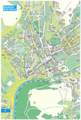
Banska Bystrica Tourist Map
Tourist map of central Banska Bystrica, Slovakia. Shows points of interest. Scanned.
360 miles away
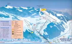
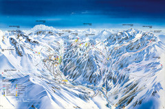
Bonneval sur Arc Ski Trail Map
Trail map from Bonneval sur Arc.
360 miles away
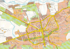
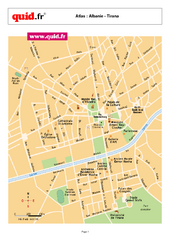
Tirane City Tourist Map
Information, hospitals and places of interest.
361 miles away

Czech Republic Map
361 miles away
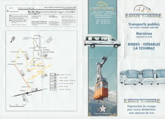
La Tzoumaz Public Transportation Map (French)
361 miles away
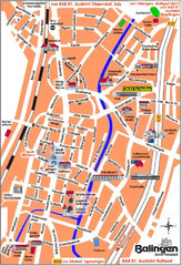
Balingen Tourist Map
Tourist street map of Balingen center
361 miles away
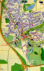
Bad Durrheim Map
Street map of Bad Durrheim
362 miles away
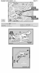
Nice Airport Map
362 miles away
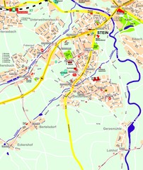
Stein Map
Street map of Stein and surrounding region
363 miles away
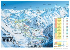
Bessans Ski Trail Map
Trail map from Bessans, which provides downhill and nordic skiing.
363 miles away
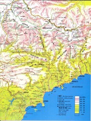
Cotes d'Azur - Alpes Maritimes Map
363 miles away
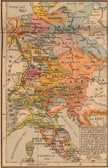
Germany Italy 1803 Map
Germany and Italy in 1803 after the Principle Decree of the Imperial Deputation
364 miles away
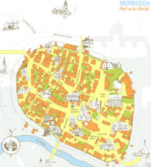
Herrieden Map
Street map of town center of Herrieden
364 miles away
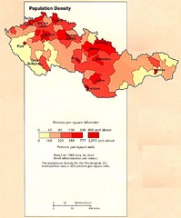
Czechoslovakia Population Density Map
Map of Czechoslovakia's population density
364 miles away

Gstaad Mountain Rides Ski Trail Map
Trail map from Gstaad Mountain Rides.
364 miles away
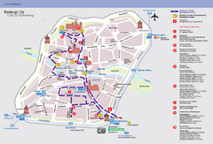
Nuremberg Tourist Map
Tourist map of old city Nuremberg, Germany. Shows tourist points of interest and a tourist walking...
364 miles away
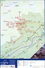
Ovronnaz Tourist Map
Tourist map of Ovronnaz, Switzerland. Shows biking routes, restaurants, and public transport.
365 miles away
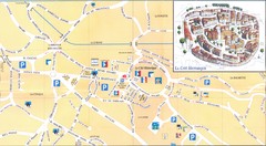
Vence - centre Map
366 miles away
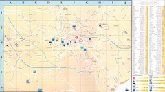
Vence - environ Map
366 miles away
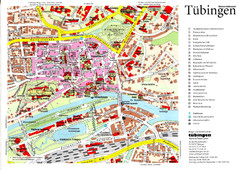
Tübingen Tourist Map
Tourist map of Old Town center of Tübingen
366 miles away
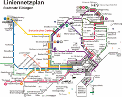
Tubingen Bus Map
Bus routes and connections, Tubingen, Germany. (German).
366 miles away
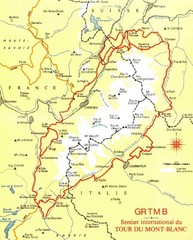
Tour du Mont Blanc Map
Beginner's Guide to the Tour du Mont Blanc
366 miles away
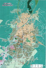
Pristina Tourist Map
Tourist map of Pristina, Kosovo.
367 miles away
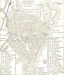
1934 Antibes Map
Historic map of Antibes, France
367 miles away
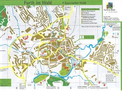
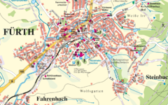
Furth Tourist Map
Tourist street map of Furth
368 miles away
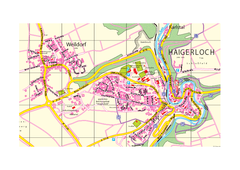
Haigerloch & Weildorf Map
Map of Haigerloch / Weildorf area
368 miles away
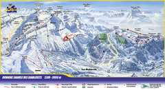
Les Diablerets Ski Trail Map
Trail map from Les Diablerets.
368 miles away
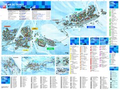
Tignes Ski Resort Town Map
Map of the ski resort town of Tignes, France. Shows residences, hotels, services, clubs, and other...
368 miles away
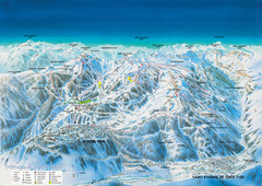
Auron Saint-Etienne-de-Tinée Ski Trail Map
Trail map from Auron Saint-Etienne-de-Tinée.
368 miles away
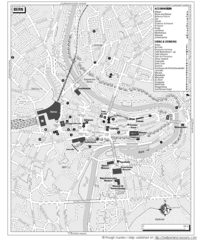
Bern Tourist Map
Tourist map of Bern, Switzerland. Shows museums, accommodations, eating, and drinking spots
368 miles away
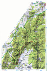
Sulovske vrchy Map
368 miles away
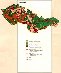
Czechoslovakia Land Use Map
Map of Czechoslovakia region land use
369 miles away
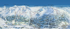
Val Cénis Ski Trail Map
Trail map from Val Cénis.
369 miles away
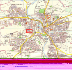
Crailsheim Map
Street map of Crailsheim region
369 miles away
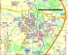
Windischeschenbach Tourist Map
Tourist street map of Windischeschenbach
369 miles away

