Saluzzo Map
338 miles away
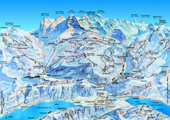
Jungfrauregion (Mürren, Wengen, Grindelwald) Ski...
Trail map from Jungfrauregion (Mürren, Wengen, Grindelwald), which provides downhill skiing.
338 miles away
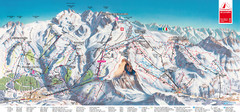
Zermatt Matterhorn Map
338 miles away
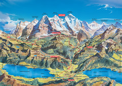
Jungfrau Grindelwald region summer map
This map is a summer panorama looking south from Interlaken toward the Jungfrau, Eiger, and the...
338 miles away
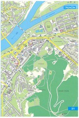
Trencin Tourist Map
Tourist map of Trencin, Slovakia. Shows points of interest.
339 miles away
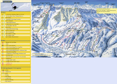
Sörenberg Ski Trail Map
Trail map from Sörenberg.
340 miles away
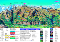
Schilthorn Summer Trail Map
Summer hiking map of Mürren-Schilthorn area. Shows lifts and trails.
340 miles away
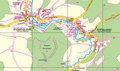
Indelhausen / Anhausen Map
Map of towns of Indelhausen & Anhausen
341 miles away
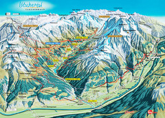
Lötschental Lauchernalp Summer Trail Map
Summer trail map of Lötschental Valley area. Shows hiking trails, towns, and mountains. The...
341 miles away
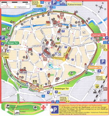
Nördlingen Tourist Map
Tourist street map of Nördlingen
342 miles away
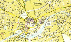
Timisoara Tourist Map
Tourist map of central TimiÅŸoara, Romania. Shows points of interest.
342 miles away
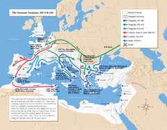
Germanic Invasions Map 378-439
Shows the breakdown of the Roman frontier in the late 4th and early 5th centuries.
342 miles away
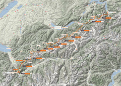
Swiss Alps Trail Map
Around Interlaken, Switzerland.
344 miles away
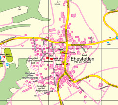
Ehestetten Map
Street map of Ehestetten
344 miles away

Elevation Profile for Klasik Route Map
Elevation Profile for Klasik Route Map for 2008 for Dubnicky Marathon
344 miles away
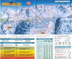
Val d’Anniviers (Grimentz, Zinal, Vercorin, St...
Trail map from Val d’Anniviers (Grimentz, Zinal, Vercorin, St-Luc und Chandolin), which provides...
346 miles away
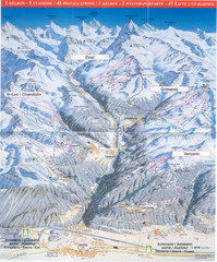
Val d’Anniviers (Grimentz, Zinal, Vercorin, St...
Trail map from Val d’Anniviers (Grimentz, Zinal, Vercorin, St-Luc und Chandolin), which provides...
346 miles away
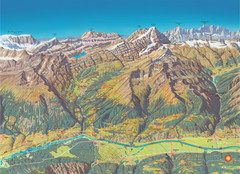
Leukerbad Summer Trail Map
Summer hiking trail map from Leukerbad.
346 miles away
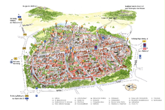
Neumarkt in der Oberpfalz Map
Tourist map of city center of Neumarkt in der Oberpfalz, Germany. In German
346 miles away
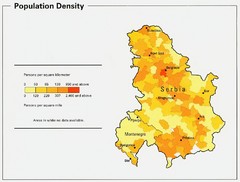
Serbia and Montenegro Population Map
Map of Serbia and Montenegro's population map
347 miles away
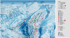
Leukerbad Ski Trail Map
Trail map from Leukerbad.
347 miles away
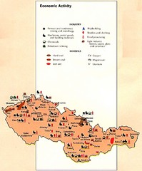
Czechoslovakia Economic Activity Map
Map of economic activity throughout region
347 miles away
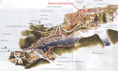
Bonifacio Tourist Map
Tourist map of Bonifacio, Corsica
348 miles away

Wuerttembergische Landeskirche Map
Karte der Evang. Landeskirche in Wuerttemberg, The Evangelical-Lutheran Church in Wuerttemberg
349 miles away
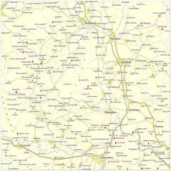
Monasteries in central Serbia (Levač area) Map
Levač is historic area in the central part of Serbia around Morava river.
350 miles away
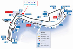
Monaco Gran Prix circuit Map
350 miles away
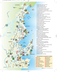
Monaco Tourist Map
Tourist map of Monaco. Shows points of interest, hotels, and resorts.
350 miles away
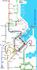
Monaco bus route Map
350 miles away
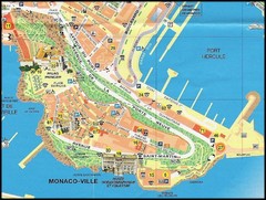
Monaco Ville Map
350 miles away

Monaco Tourist Map
Tourist map of the Mediterranean country of Monaco. Shows points of interest. In French.
350 miles away
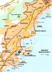
Monaco Map
350 miles away
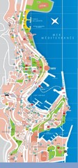
Monaco Map
350 miles away
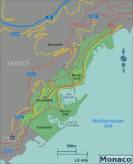
Monaco Map
350 miles away
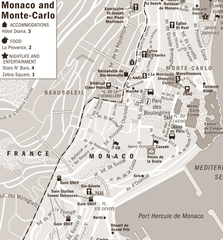
Monaco accomodation Map
350 miles away
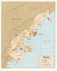
Monaco Map
350 miles away

