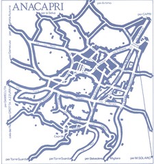
Anacapri Map
286 miles away
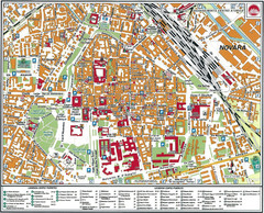
Novara Map
286 miles away
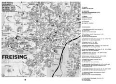
Freising City Map
286 miles away

Capri Map
286 miles away
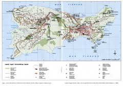
Capri Tourist Map
Tourist map of island of Capri, Italy. Shows roads, hotels, beaches, and other points of interest...
286 miles away
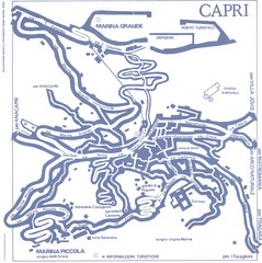
Capri Town Map
286 miles away
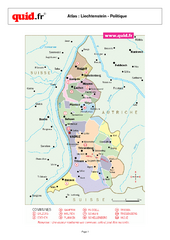
Liechtenstein Regional Map
Country map with detail of regional divides
286 miles away
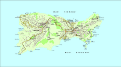
Capri Tourist Map
Tourist map of island of Capri, Italy
286 miles away
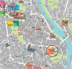
Kempten im Allgäu Tourist Map
Tourist street map of Kempten im Allgäu
286 miles away
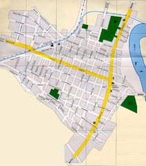
Péterréve Map
287 miles away
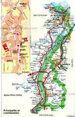
Liechtenstein Principality Map
288 miles away
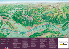
Liechtenstein Tourist Map
Tourist map of the country of Liechtenstein. Panoramic view shows all towns, trails, and mountains.
288 miles away
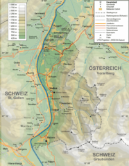
Liechtenstein topography Map
288 miles away
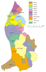
Liechtenstein Tourist Map
288 miles away
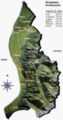
Liechtenstein Tourist Map
288 miles away
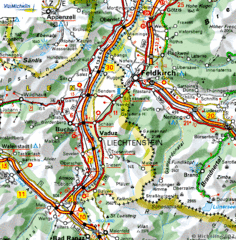
Liechtenstein road Map
288 miles away
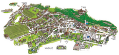
Vaduz Town Map
Tourist map of town of Vaduz, Liechtenstein. Panoramic view shows buildings and streets.
289 miles away
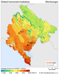
Solar Radiation Map of Montenegro
Solar Radiation Map Based on high resolution Solar Radiation Database: SolarGIS. On the Solar Map...
289 miles away
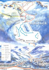
Bjelasica Ski Trail Map
Trail map from Bjelasica.
289 miles away
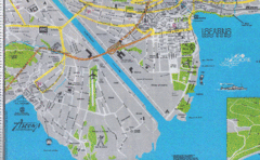
Ascona City Tourist Map
Landmarks in Ascona, Switzerland
290 miles away

Acqui Termi Map
290 miles away
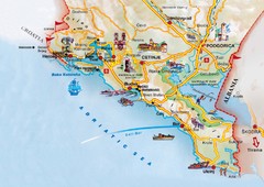
Montenegro coastal Map
290 miles away
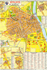
Zenta Map
291 miles away
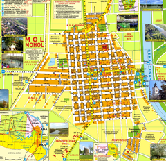
Mohol Map
291 miles away
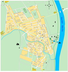
Ada város Map
291 miles away
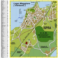
Ispra Town Map
Town map of Ispra, Italy on east side of Lake Maggiore (Lombardy region, Northern Italy). With...
291 miles away
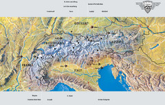
Alps Top Resort Town Map
Shows 12 top 4 season mountain resort towns in the Alps in France, Switzerland, Austria, and Italy.
292 miles away
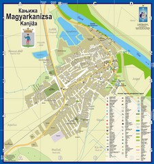
Kanizsa City Map
City map of Kanjiza, Serbia. Shows businesses.
292 miles away
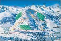
Brigels Ski Trail Map
Trail map from Brigels.
294 miles away
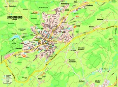
Lindenberg im Allgäu Map
Street map of Lindenberg
295 miles away
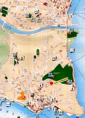
Verbania Pallatzo City Map
City map of Verbania-Pallanza, Italy on Lago Maggiore
295 miles away
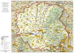
Duna-Ipoly Nemzeti National Park Map
Reference map of Duna-Ipoly Nemzeti National Park and surrounding area north of Budapest, Hungary
296 miles away
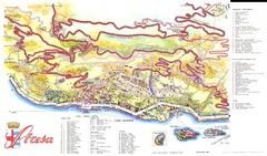
Stresa Map
296 miles away
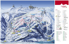
Flumserberg Ski Trail Map
Trail map from Flumserberg.
296 miles away
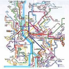
Budapest Public Transportation Map
297 miles away
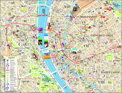
Budapest Tourist Map
Tourist map of central Budapest, Hungary. Shows theaters, museums, post offices, churches, and...
297 miles away
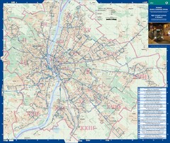
Budapest Night Bus Routes Map
Map of night bus routes in Budapest, Hungary
297 miles away
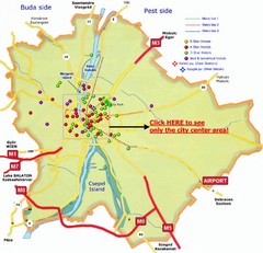
Budapest Hotel Map
297 miles away

