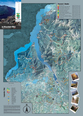
Lake Como Mountain Biking Trail Map
Trail map of mountain biking routes around Lake Como, Italy.
265 miles away
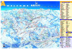
St Anton Region Ski map
Panoramic ski map covers St. Anton, St. Christoph, St. Jakob, Stuben, Zurs, Zug, Lech, and Oberlech...
265 miles away
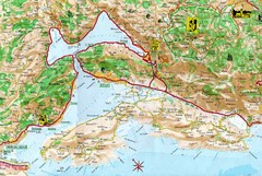
Kotor Bay Tourist Map
Tourist Map of Bay of Kotor, Montenegro.
266 miles away
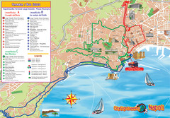
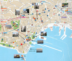
Naples Tourist Map
Tourist map of Naples, Italy. Shows bus routes.
266 miles away
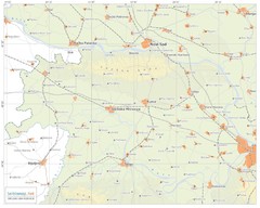
Urban areas in Srem region (Vojvodina, Serbia) Map
Srem is a part of Vojvodina province between river Sava and Danube. Largest places are Sremska...
266 miles away
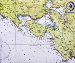
Bay of Boka Map
267 miles away
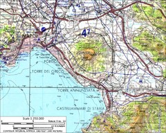
Mount Vesuvius Contour Map
Contour map of Mount Vesuvius and surrounding area. Rodad and cities also identified.
267 miles away
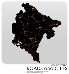
Montenegro Roads and Cities Map
Simple Map of Roads and Cities in Montenegro
267 miles away
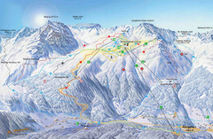
Montafon Ski Trail Map
Trail map from Montafon.
268 miles away

Bácstopolya Map
268 miles away
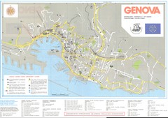
Genova Map
268 miles away
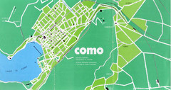
Como City Map
City map and historical sites of Como, Italy.
269 miles away
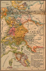
Germany Italy 1806 Map
Germany and Italy in 1806 at the dissolution of the Roman Empire
269 miles away
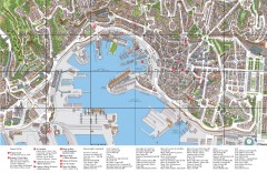
Genoa Tourist Map
Tourist map of center of Genoa, Italy (Genova). Drawing shows all buildings and legend has top 10...
269 miles away
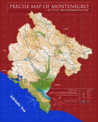
Montenegro precise Map
270 miles away
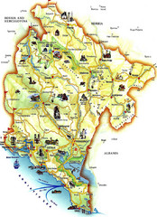
Montenegro Tourist Map
Tourist Map of Montenegro identifing tourist sites, roads and cities.
271 miles away
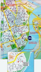
Novi Sad City Map
City map of central Novi Sad, Serbia. Bus route to a conference drawn on top of scanned map.
271 miles away
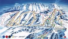
Oberjoch-Unterjoch Ski Trail Map
Trail map from Oberjoch.
271 miles away
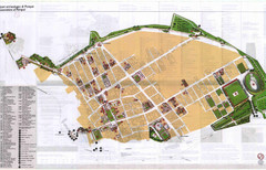
Pompei Map
Tourist map of Pompei, Italy. Shows excavations. Scanned, some bleed through. In English and...
272 miles away
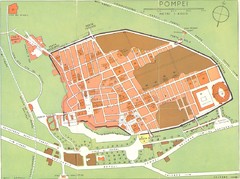
Pompei scavi Map
old tourist map of the excavated area
272 miles away
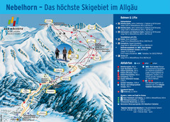
Oberstdorf Ski Trail Map
Trail map from Oberstdorf.
272 miles away
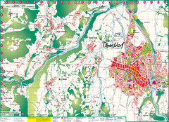
Oberstdorf City Map
City map of Oberstdorf, Germany and surrounding area. Shows buildings and ski lifts. In German.
272 miles away
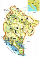
Montenegro tourist map
Illustrated tourist map of Montenegro.
272 miles away
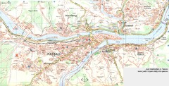
Passau Map
City map of Passau and surrounding area
272 miles away
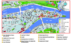
Passau Tourist Map
Tourist map of Passau, Germany. Shows points of interest. In English.
272 miles away
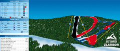
Ski Centar Zlatibor Ski Trail Map
Trail map from Zlatibor.
273 miles away
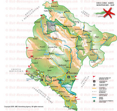
Montenegro Tourist Map
273 miles away
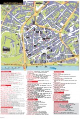
Bratislava Tourist Map
Tourist map of old town Bratislava, Slovakia shows points of interest including museums, galleries...
273 miles away
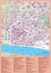
Bratislava Guide Map
273 miles away
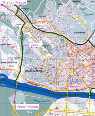
Bratislava Map
Bratislava, Slovakia detail map of streets, train routes and tourist areas.
273 miles away
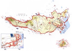
Ventotene Tourist Map
Tourist map of island of Ventotene, Italy. Also shows Santo Stefano island. Shows points of...
273 miles away
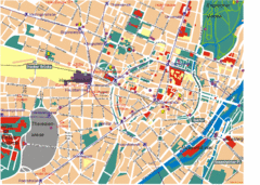
Munich Tourist Map
Tourist map of central Munich (München), Germany.
273 miles away
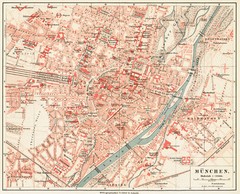
Munich Map
273 miles away

Munich public transportation system Map
This MVV network map, probably the best known one, shows all lines and stops for the urban rail and...
274 miles away
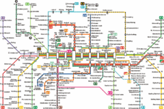
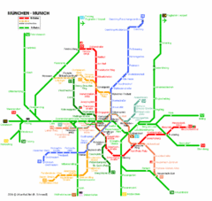
Munich Metro Map
Metro map of Munich, Germany. In German.
274 miles away
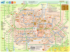
Munich Public Transportation Map
274 miles away
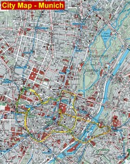
Munich City Map
City map of Munich, Germany
274 miles away
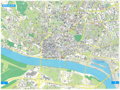
Bratislava Tourist Map
Tourist map of Bratislava, Slovakia. Shows points of interest.
274 miles away

