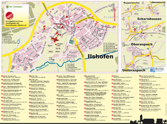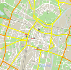
Poznan Street Map
Street map of Poznan, Poland.
194 miles away
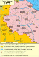
1378 Posen Map
194 miles away
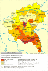
Posen Population Map
194 miles away
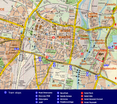
Poznan City Map
City map of Poznan with Tram stops and hotels
194 miles away
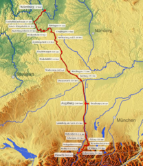
Romantische Strasse Map
194 miles away
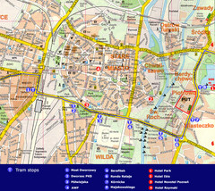
Poznan Tourist Map
Tourist map of central Poznan, Poland. Shows tram stops, hotels, and other points of interest.
194 miles away
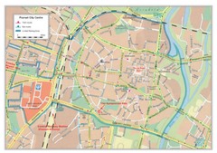
Poznan City Map
City map of center of Poznan, Poland. Shows bus and tram routes.
194 miles away
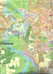
Rathenow Map
Street map of town of Rathenow
196 miles away
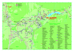
St. Ulrich am Pillersee Map
Village map of St. Ulrich am Pillersee, Austria
196 miles away
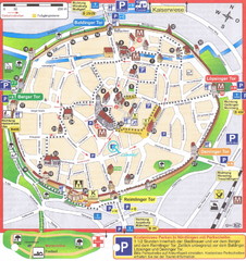
Nördlingen Tourist Map
Tourist street map of Nördlingen
196 miles away
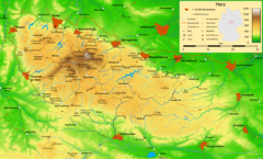
Harz Nature Park Map
Shaded relief map of Naturpark Harz.
196 miles away
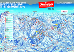
Wilder Kaiser Ski Trail Map
Trail map from Wilder Kaiser – Gosau, Scheffau, Ellmau.
197 miles away
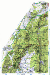
Sulovske vrchy Map
197 miles away
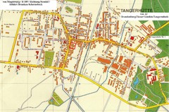
Tangerhuette Map
Street map of city of Tangerhuette
198 miles away
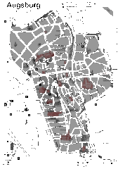
Augsburg Tourist Map
Shows central Augsburg and its sights.
199 miles away
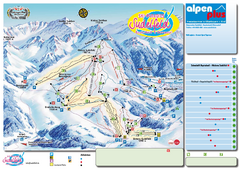
Sudelfeld Ski Trail Map
Trail map from Sudelfeld.
199 miles away
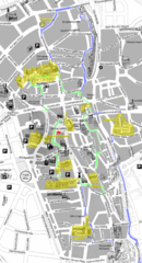
Augsburg Tourist Map
Tourist street map of downtown Augsburg
199 miles away
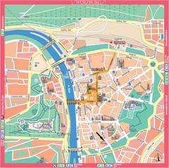
Würzburg Tourist Map
Tourist street map of Würzburg center
201 miles away
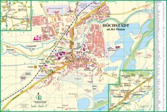
Höchstädt an der Donau Map
Street map of Höchstädt an der Donau
201 miles away
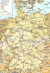
Germany Map
Map of Germany showing roads, railways and cities.
202 miles away
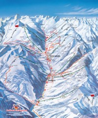
Saalbach and Hinterglemm Winter walks map
Panoramic map showing winter walks in the Saalbach and Hinterglemm Austria area.
204 miles away
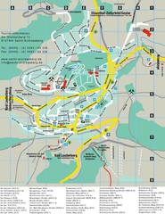
Sankt Andreasberg Tourist Map
Sankt Andreasberg tourist map
204 miles away
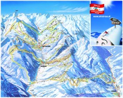
Saalbach and Hinterglemm Ski Trail map
Official ski trail map of Saalbach and Hinterglemm area from the 2006-2007 season. In German.
204 miles away
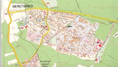
Geretsried Map
Street map of Geretsried
204 miles away
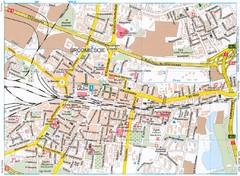
Katowice Tourist Map
Tourist map of central Katowice, Poland. Shows points of interest.
204 miles away
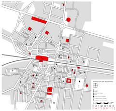
Kattowitz Tourist Map
Tourist map of Kattowitz, Poland. Shows points of interest.
204 miles away
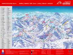
Kitzbuhel Ski Trail Map
Trail map from Kitzbuhel.
205 miles away
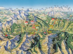
Saalbach Hinterglemm Summer Hiking Map
Summer panorama map of Saalbach and Hinterglemm Austria area. Shows trails, lifts, huts, and peaks.
205 miles away
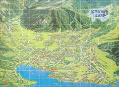
Rottach Egern Map
205 miles away
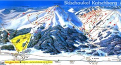
Lungau Ski Trail Map
Trail map from Lungau.
205 miles away
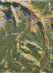
Tatras Map
The Tatras - rocks, landforms, weathering and soils field trip map with sites identified.
206 miles away
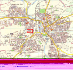
Crailsheim Map
Street map of Crailsheim region
206 miles away
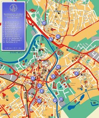
Nitra City Map
City map of central Nitra, Slovakia
206 miles away
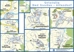
Bad Sooden-Allendorf Towns Map
Street maps of towns within the Bad Sooden-Allendorf region
211 miles away
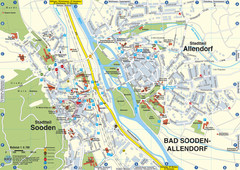
Sooden-Allendorf Map
Street map of Sooden and Allendorf
211 miles away

