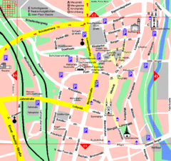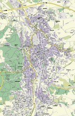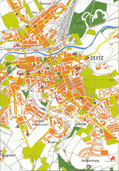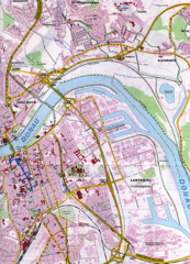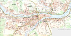
Passau Map
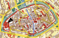
City map of Passau and surrounding area
113 miles away
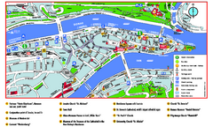
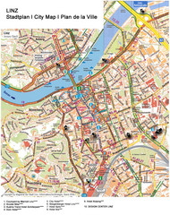
Passau Tourist Map
Tourist map of Passau, Germany. Shows points of interest. In English.
113 miles away
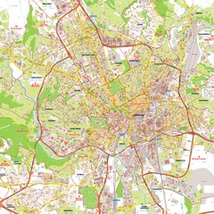
Brno Tourist Map
Tourist map of Brno, Czech Republic. Shows central Brno and surrounding area.
116 miles away
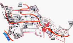
Vysehrad Tourist Map
116 miles away
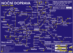
Brno Czech Republic Mass Transit Map
Mass Transit map showing all routes and stops in Brno, Czech Republic.
116 miles away
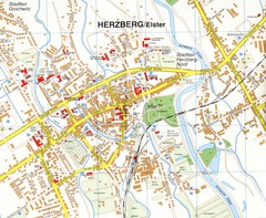
Herzberg (Elster) Map
Street map of Herzberg
123 miles away
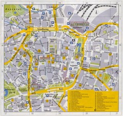
Leipzig Inner City Tourist Map
Tourist map of inner city Leipzig, Germany. Shows major buildings and points of interest.
125 miles away
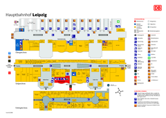
Leipzig HBf Map
125 miles away
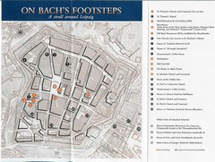
Leipzig Bach Tourist Map
Tourist map of points of interest in central Leipzig, Germany related to composer Johann Sebastian...
125 miles away
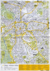
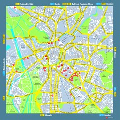
Leipzig Tourist Map
Tourist map of Leipzig, Germany. Shows points of interest. Scanned.
125 miles away
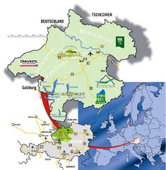
Upper Austria Tourist Map
126 miles away
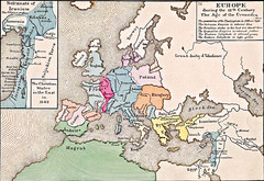
Old Map of Europe - 12th century
126 miles away
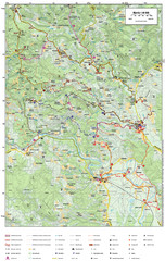
Krašić Bike Trail Map
Bike routes of the Krašić-Vivodina region.
126 miles away
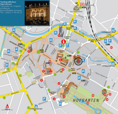
Bayreuth Tourist Map
Tourist map of Bayreuth town center
127 miles away
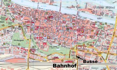
Regensburg Tourist Map
Tourist map of Regensburg city center
128 miles away
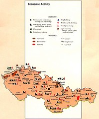
Czechoslovakia Economic Activity Map
Map of economic activity throughout region
128 miles away
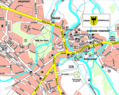
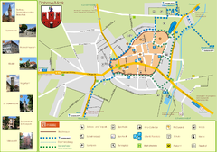
Lübben (Spreewald) Map
Street map of Lübben (Spreewald)
130 miles away
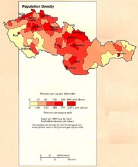
Czechoslovakia Population Density Map
Map of Czechoslovakia's population density
132 miles away
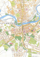
Weissenfels City Map
City map of Weissenfels, Germany
132 miles away
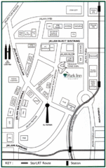
Kuala Lumpur Hotel Map
133 miles away
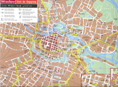
Wroclaw Tourist Map
Tourist map of central Wrocław, Poland. Shows points of interest.
135 miles away
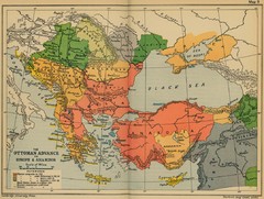
The Ottoman Advance of Europe and Asia Minor Map
135 miles away
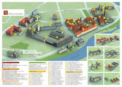
Wroclaw University of Technology Campus Map
136 miles away

Jena Topographic Map
Guide to topography and surrounding area of Jena, Germany
137 miles away
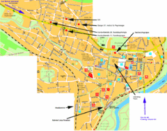
Jena City Map
City map of Jena with information
138 miles away
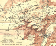
1806 Jena, Germany Map
Historic guide to Jena, Germany in German
138 miles away
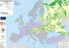
National Ecological Networks of European...
Shows core areas and ecological corridors in European countries with Ecological Network plans. By...
139 miles away
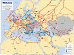
Europe Proposed Natural Gas Pipelines Map
The priority axes for natural gas pipelines, which involve INOGATE Participating Countries and...
141 miles away
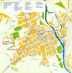
Saalfeld Tourist Map
Tourist street map of Saalfeld
141 miles away
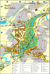
Bad Sulza Map
Tourist street map of Bad Sulza
141 miles away

