Sieciechow commune street map, PL Map
Sieciechow commune - street map Ed. 2007 Size 2000 x 1000 mm Type: administratie and touristic map
335 miles away
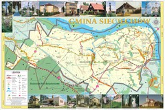
Sieciechow, Poland, Mazovia Map
Sieciechow commune map, Mazovia, PL
335 miles away
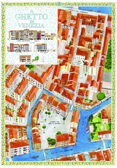
the old jewish ghetto of venezia Map
a bird's eye view of the ghetto of venezia.
335 miles away
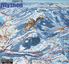
Brunni-Alpthal Ski Trail Map
Trail map from Brunni-Alpthal.
336 miles away
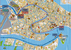
Venice Tourist Map
336 miles away
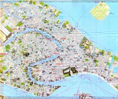
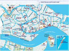
Venice Street Map
Detailed street map of Venice, Italy showing major landmarks, canals, and buildings.
336 miles away
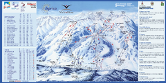
Aprica Ski Trail Map
Trail map from Aprica, which provides downhill skiing. This ski area has its own website.
336 miles away
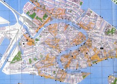
Venice Italy Tourist Map
Map of Venice, Italy showing tourist sites, plazas and churches.
336 miles away
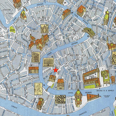
Venice Guide Map
336 miles away
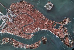
Venice Aerial Map
Aerial map of Venice, Italy. Shows points of interest.
336 miles away
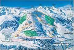
Brigels Ski Trail Map
Trail map from Brigels.
336 miles away
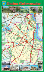
GNIEWOSZOW commune map, PL Map
Gniewoszow commune map Ed. 2007
337 miles away
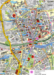
Essen Street Map
Street map of central Essen, Germany
337 miles away
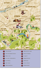
Essen Region Tourist Map
Tourist map of region of Essen
337 miles away
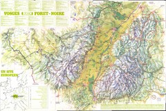
Vosges panorama Map
337 miles away

Alsace - Route du Vin Map
338 miles away
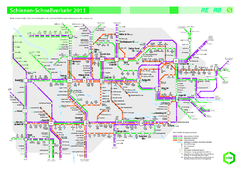
Ruhr VRR Schnellverkehr Map
338 miles away

Porec Tourist Map
338 miles away
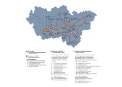
Ruhrgebiet Industriekultur Map
338 miles away
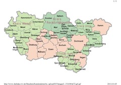
Ruhr RVR Map
338 miles away
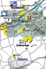
Essen-Nord Map
339 miles away
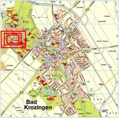
Bad Krozingen Map
Street map of Bad Krozingen
340 miles away
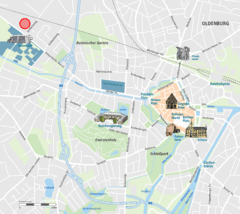
Oldenburg Center Map
Street map of Oldenburg city center
340 miles away
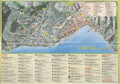
Limone sul garda Map
340 miles away
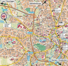
Oldenburg City Map
City map of Oldenburg with hotels
340 miles away
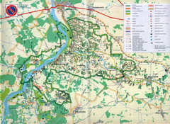
Kazimierski Landscape Park Map
Part of one of main ecological corridors in Europe enabling the birds to nest and migrate.
341 miles away
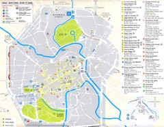
Vicenza Map
341 miles away
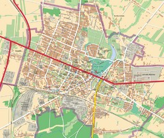
Mińsk Mazowiecki City Map
City map of Mińsk Mazowiecki, Poland
342 miles away
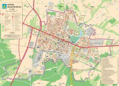
Minsk Tourist Map
Tourist map of Minsk, Poland. In Polish.
342 miles away
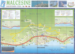
Malcesine Map
343 miles away
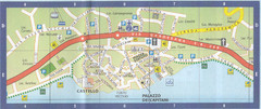
Malcesine Map
343 miles away

Novi Vinodolski Street Map
Street map of Novi Vinodolski, Croatia. Scanned.
344 miles away
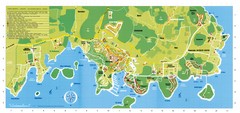
Vrsar Tourist Map
344 miles away
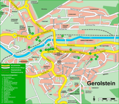
Gerolstein Map
Street map of Gerolstein
344 miles away
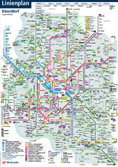
Dusseldorf Public Transport Network Map
Official Rheinbahn map shows municipal-rail, light rail and tramway system, as well as a close-knit...
344 miles away
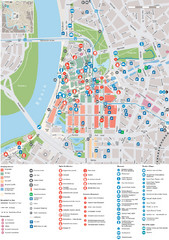
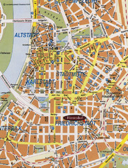
Dusseldorf Tourist Map
Tourist map of central Düsseldorf, Germany. Shows points of interest.
344 miles away

