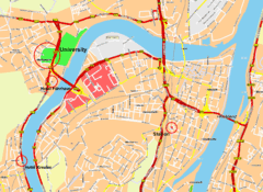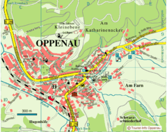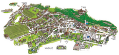
Vaduz Town Map
Tourist map of town of Vaduz, Liechtenstein. Panoramic view shows buildings and streets.
303 miles away
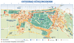
Kühlungsborn Map
Map of Kühlungsborn
303 miles away

Sulden Ski Trail Map
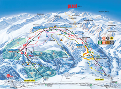
Ski trail map of Sulden (Solda), Italy in the Ortler Alps. Shows trails and lifts.
303 miles away
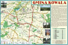
Kowala_Mazovia_poland.jpg Map
Map of Kowala_Mazovia_poland.jpg is a Kowala commune map, created with use of GlobalMapper and...
303 miles away
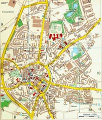
Ennirgerloh Map
Street map of Ennirgerloh
303 miles away
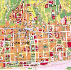
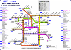
Zagreb Tourist Map
Tourist map of central Zagreb, Croatia. Shows major buildings.
304 miles away
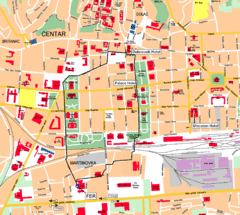
Zagreb Center Map
304 miles away
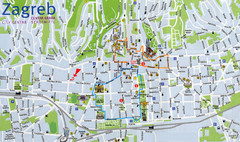
Zagreb Croatia Tourist Map
Zagreb City Centre Tourist map showing tourist attractions, hotels, tourist information and city...
304 miles away
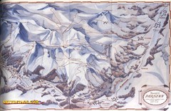
Davos-Klosters Ski Trail Map
Trail map from Davos-Klosters.
304 miles away

Sulden Trafoi Summer Hiking Map
Summer hiking route map of Sulden (Solda) Italy, Trafoi, Italy and Stelvio, Italy. Shows hiking...
304 miles away
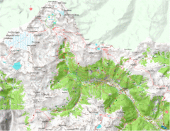
Val di Rabbi Topo Map
Detailed topographic map of Val di Rabbi, Italy on the edge of Stelvio National Park
305 miles away
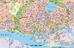
Hamburg Street Map
Street map of central Hamburg, Germany. Shows many canals.
305 miles away
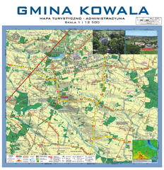
Kowala Commune - near Radom, PL Map
Kowala-Stepocina Commune - the administrative and touristic wall map, scala 1:12500, with 3D effect...
306 miles away
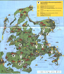
Rügen Tourist Map
Tourist map of the island of Rügen, Germany's largest island.
306 miles away
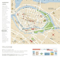
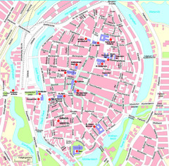
Luebeck Tourist Map
Street tourist map of city center
306 miles away
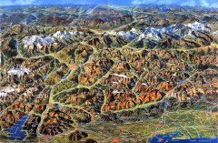
Eastern Alps Italy and Austria Overview Map
Panoramic map of the mountains and towns of northern Italy, the Tyrol, and southern Austria
307 miles away
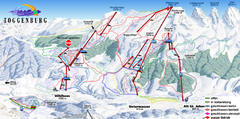
Toggenburg Ski Trail Map
Trail map from Toggenburg.
308 miles away
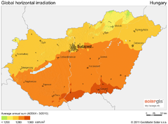
Solar Radiation Map of Hungary
Solar Radiation Map Based on high resolution Solar Radiation Database: SolarGIS. On the Solar Map...
308 miles away
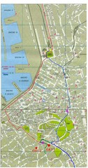
Trieste City Map
City map of Trieste with projects plans.
308 miles away
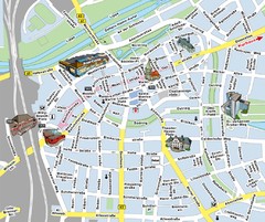
Hamm Center Tourist Map
Tourist street map of Hamm center
308 miles away
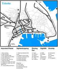
Trieste Map
308 miles away
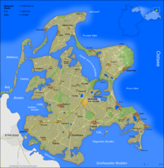
Rügen Map
Shows shaded population density of island of Rugen, Germany
309 miles away
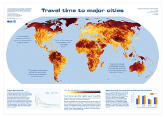
Global Map of Accessibility
European Commission has produced a gorgeous map of global accessibility to cities.
309 miles away
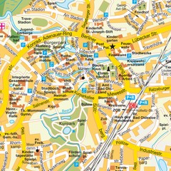
Bad Oldeshloe Map
Street map of downtown Bad Oldeshloe
310 miles away
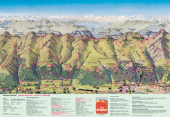
Davos Schatzalp Summer Trail Map
Trail map showing summer trails and lifts at Davos Schatzalp in Davos, Switzerland.
310 miles away
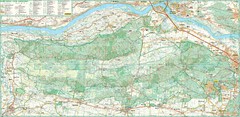
Kampinoski National Park Map
Kampinoski National Park
310 miles away
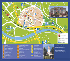
Gengenbach Tourist Map
Tourist map of Gengenbach
312 miles away
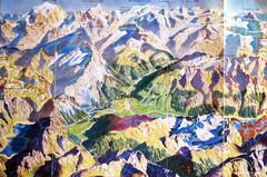
Bormio Panorama Map
Panorama tourist map of Bormio, Italy. Shows Ortler Alps in distance. From photo.
312 miles away
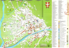
Bormio Tourist Map
Tourist map of town of Bormio, Italy. Legend of all streets and services.
312 miles away
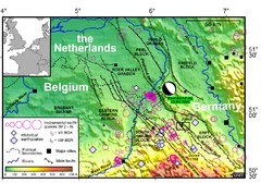
Earthquake in Lower Rhine Map
Seismotectonic map of the Lower Rhine graben system in the border area of Belgium, Germany and the...
312 miles away
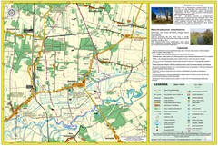
Bartodzieje_Village_Jastrzebia_Poland_streetmap...
Map of Bartodzieje_Village_Jastrzebia_Poland_streetmap.pdf is a street informative map of dimension...
313 miles away
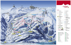
Flumserberg Ski Trail Map
Trail map from Flumserberg.
313 miles away
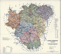
1910 Hungarian Map
Guide to historic Hungary, current Slovakia
313 miles away
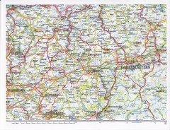
Gerhardsbrunn Map
314 miles away

