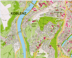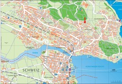
Konstanz City Map
292 miles away
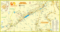
Ultental Deutschnonsberg St. Walburg Tourist Map
Tourist map of the southern Tyrol region around Ultental, Deutschnonsberg, and St. Walburg/ S...
292 miles away
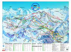
Ischgl – Galtur Ski Trail Map
Trail map from Ischgl – Galtur.
292 miles away
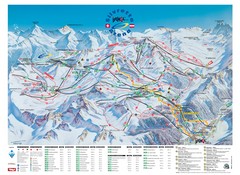
Ischgl – Galtur Ski Trail Map
Trail map from Ischgl – Galtur.
292 miles away
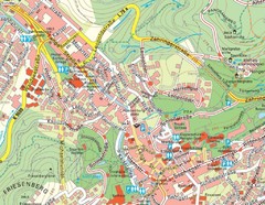
Baden Baden Street Map
Street map of city of Baden Baden
293 miles away

Rostock Map
293 miles away
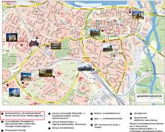
Rostock Tourist map
Tourist map of Rostock
293 miles away

Bad Münster am Stein-Ebernburg Tourist Map
Tourist street map of Bad Münster am Stein-Ebernburg
293 miles away
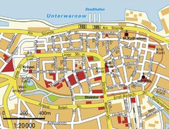
Rostock Center Map
Street map of town center
293 miles away

Lauterbad, Germany Map
293 miles away
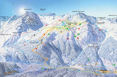
Montafon Ski Trail Map
Trail map from Montafon.
294 miles away
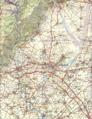
Northern Italy Tourist Map
Pordenone, Coltura, Polcenigo, Italy
294 miles away
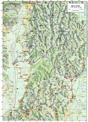
Villages and Sutla River Valley Bike Route Map
Bike routes and trails through the villages to the Sutla River Valley in Croatia. Note: The map...
295 miles away
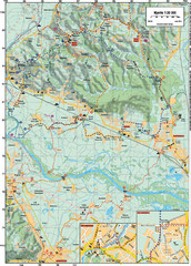
Sulta and Sava Croatia Cycling Route Map
the trails on this map are through picturesque hills to the confluence of the Sutla and Sava Rivers...
295 miles away
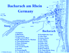
Bacharach Tourist Map
Tourist map of town of Bacharach
295 miles away
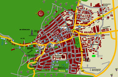
Bad Bergzabern Tourist Map
Tourist street map of Bad Bergzabern
296 miles away
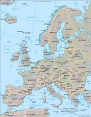
Europe Physical Map
296 miles away
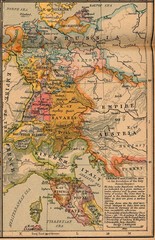
Germany Italy 1806 Map
Germany and Italy in 1806 at the dissolution of the Roman Empire
297 miles away
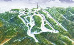
Medvednica Ski Trail Map
Trail map from Medvednica.
297 miles away
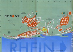
Sankt Goar Town Map
Town map of Sankt Goar, Germany. Sankt Goar is a picturesque little town on the Rhein river, about...
298 miles away
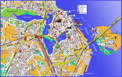
Stralsund Tourist Map
Tourist map of Stralsund
298 miles away
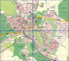
Doberan Map
Street map of city of Doberan
298 miles away
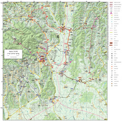
Zagreb County Cycling Route Map
Shows a cycling route in Zagreb County, Croatia. From the Roman “Magna Vie” near Komin...
298 miles away

Warnemunde 1 Map
299 miles away
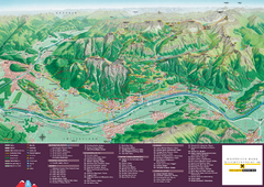
Liechtenstein Tourist Map
Tourist map of the country of Liechtenstein. Panoramic view shows all towns, trails, and mountains.
300 miles away
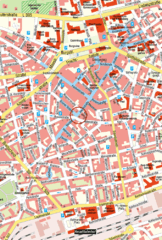
Kaiserslautern Center Map
Street map of Kaiserslautern city center
300 miles away
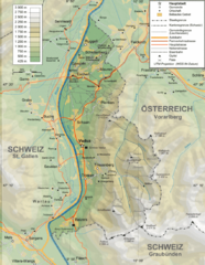
Liechtenstein topography Map
300 miles away
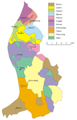
Liechtenstein Tourist Map
300 miles away
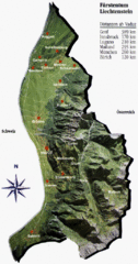
Liechtenstein Tourist Map
300 miles away
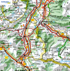
Liechtenstein road Map
301 miles away
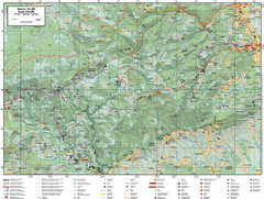
Samobor Region Cycling Route Map
Cycling route map for region west of Samobor, Croatia. Shows all routes in km
301 miles away
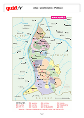
Liechtenstein Regional Map
Country map with detail of regional divides
301 miles away
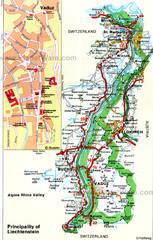
Liechtenstein Principality Map
302 miles away
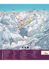
Malbun Ski Trail Map
Ski trail map of area surrounding Malbun, Liechtenstein. Also shows walking routes.
302 miles away
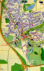
Bad Durrheim Map
Street map of Bad Durrheim
303 miles away

