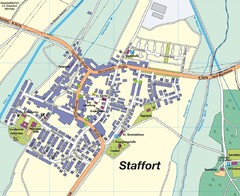
Staffort Map
Street map of town of Staffort
274 miles away
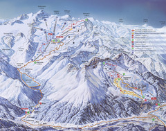
Kaunertal Ski Trail Map
Trail map from Kaunertal.
274 miles away
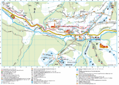
Santa Cristina Tourist Map
Tourist map of town of Santa Cristina Val Gardena, Italy. Santa Cristina lies on the sunny side of...
274 miles away
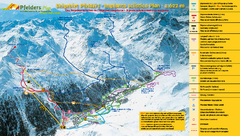
Pfelders Ski Trail Map
Trail map from Pfelders, which provides downhill and nordic skiing. This ski area has its own...
274 miles away
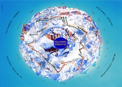
Sella Ronda Ski Tour Map
Shows ski mountaineering tour of Sella Ronda, a circular ski route leading around the mighty Sella...
274 miles away
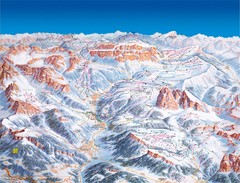
Val Gardena Ski Trail Map
Trail map from Val Gardena.
274 miles away
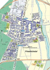
Friedrichstal Map
Street map of town of Friedrichstal
275 miles away
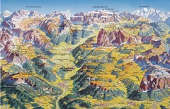
Val Gardena Summer Trail Map
Summer panoramic trail map of the Val Gardena, Italy area in the heart of the Dolomite Mountains...
275 miles away
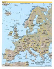
Europe relief Map
Map of Europe showing mountains, cities, countries and borders
275 miles away
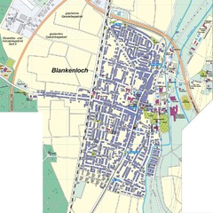
Blankenloch Map
Street map of town of Blankenloch
276 miles away
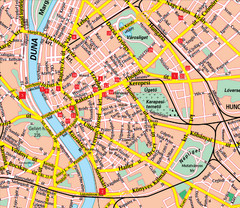
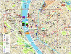
Budapest Street Map
Street map of central Budapest, Hungary.
276 miles away
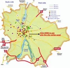
Budapest Hotel Map
276 miles away
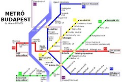
Budapest Metro Map
276 miles away
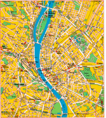
Budapest Tourist Map
276 miles away
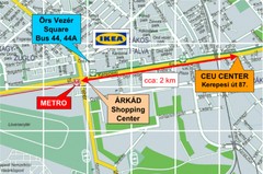
Local Budapest Tourist Map
Stores, main streets and locations in Central Budapest
276 miles away
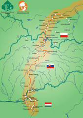
Amber Trail Budapest-Krakow Map
Amber Trail map showing the trail from Budapest to Krakow where you will see several heritage sites.
276 miles away
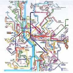
Budapest Public Transportation Map
276 miles away
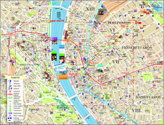
Budapest Tourist Map
Tourist map of central Budapest, Hungary. Shows theaters, museums, post offices, churches, and...
276 miles away
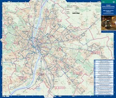
Budapest Night Bus Routes Map
Map of night bus routes in Budapest, Hungary
276 miles away
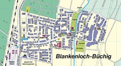
Buechig Map
Street map of town of Buechig
276 miles away
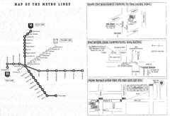
Central European University Metro and Bus Line Map
277 miles away
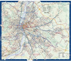
Budapest Public Transit map
278 miles away
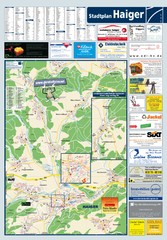
Haiger Tourist Map
Tourist map of Haiger and surrounding area
278 miles away
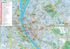
Budapest Hotel Map
Tourist map of Budapest, Hungary. Shows all hotels.
278 miles away
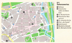
Luneburg Map
278 miles away
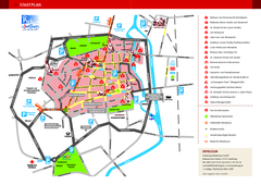
Luneburg Tourist Map
Tourist street map of Luneburg
278 miles away
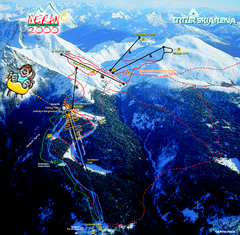
Meran Ski Trail Map
Trail map from Meran 2000, which provides downhill skiing. This ski area has its own website.
278 miles away
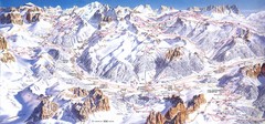
Campitello di Fassa Ski Map
278 miles away
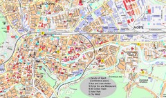
Ljubljana City Map
City map of Ljubljana, Slovenia. Shows some points of interest.
279 miles away
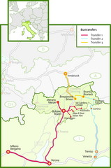
Northern Italy Bustransfer Map
279 miles away
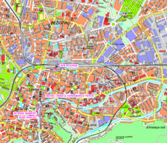
Ljubljana Tourist Map
Tourist map of central Ljubljana, Slovenia.
279 miles away
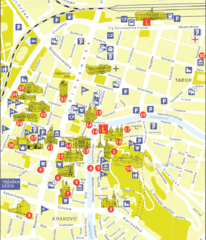
Ljubljana Slovenia Tourist Map
Tourist Map of Ljubljana Slovenia showing sites and roads of the city.
279 miles away
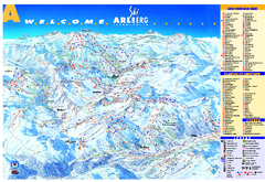
St Anton Region Ski map
Panoramic ski map covers St. Anton, St. Christoph, St. Jakob, Stuben, Zurs, Zug, Lech, and Oberlech...
279 miles away
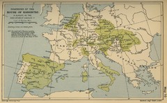
Dominions in the House of Habsburg - 1547...
280 miles away

