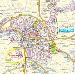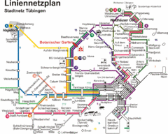
Tubingen Bus Map
Bus routes and connections, Tubingen, Germany. (German).
265 miles away
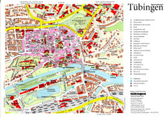
Tübingen Tourist Map
Tourist map of Old Town center of Tübingen
265 miles away
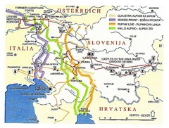
Slovenia Tour Map
266 miles away
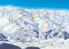
Solden Ski Trail Map
Ski trail map of the Solden ski area in the Tyrol region of Austria.
266 miles away
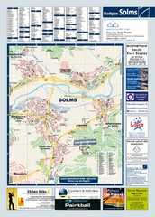
Solms Tourist Map
Tourist map of Solms and surrounding region
267 miles away
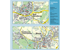
Horn-Bad Meinberg Map
Street map of Horn-Bad Meinberg and surrounding area
267 miles away
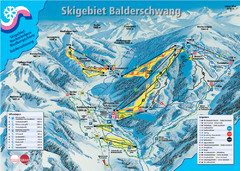
Balderschwang Balderschwang Ski Trail Map
Trail map from Balderschwang.
268 miles away
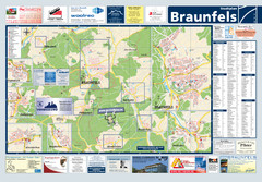
Braunfels Tourist Map
Tourist map of Braunfels and surrounding area
268 miles away
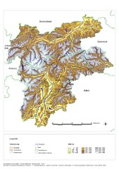
South Tyrol Elevation Map
Physical relief map of the South Tyrol region in present-day borders of Italy and Austria.
268 miles away
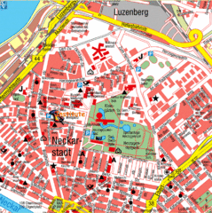
Mannheim Tourist Map
Tourist map of central Mannheim, Germany. Shows points of interest.
268 miles away
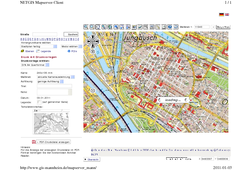
Mannheim Map
269 miles away
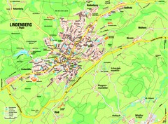
Lindenberg im Allgäu Map
Street map of Lindenberg
269 miles away
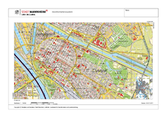
Mannheim Map
269 miles away
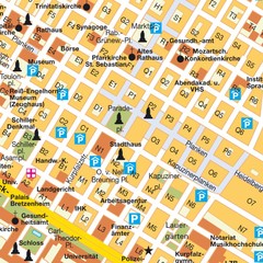
Central Mannheim Mp Map
Street map of Central Mannheim
269 miles away
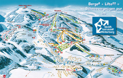
Winterberg Ski Trail Map
Trail map from Winterberg.
269 miles away
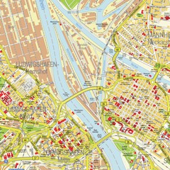
Ludwigshafen City Map
Street map of Ludwigshafen city center
270 miles away

Oppenheim Map
Street map of city of Oppenheim
270 miles away
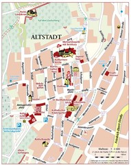
Oppenheim Altstadt Map
Street map of Altstadt area Oppenheim
270 miles away
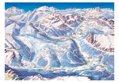
Alta Badia Alta Badia Ski Trail Map
Trail map from Alta Badia, which provides downhill skiing. This ski area has its own website.
271 miles away
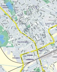
Székesfehérvár City Map
City Map of Székesfehérvár
271 miles away
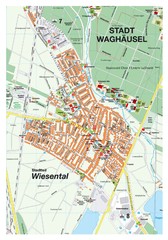
Wiesental Map
Street map of town of Wiesental
271 miles away
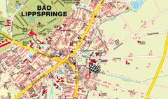
Bad Lippspringe Map
Street map of Bad Lippspringe
271 miles away
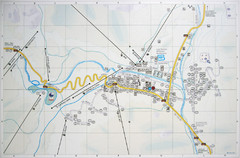
Corvara Town Map
Tourist map of Corvara, Italy in the Dolomites. From photo of sign
271 miles away
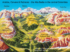
Arabba Corvara Pedraces Summer Map
Summer map of Alta Badia region in Italian Dolomites
271 miles away
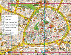
Paderborn Center Map
Street map of Paderborn city center
272 miles away
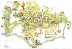
Tramonti di Sopra Tourist Map
Tourist map of town and surrounding area of Tramonti di Sopra, Italy. Drawing shows streets...
272 miles away
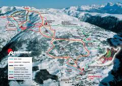
Reinswald Ski Trail Map
Trail map from Reinswald, which provides downhill skiing. It has 4 lifts. This ski area has its own...
272 miles away
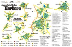
Herborn Tourist Map
Tourist map of Herborn and surrounding area
273 miles away
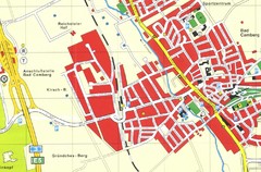
Bad Camberg Map
Street map of town of Bad Camberg
273 miles away
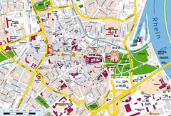
Speyer City Map
City map of central Speyer, Germany
273 miles away
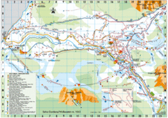
Selva Gardena Tourist Map
Tourist map of Selva Gardena, Italy, a popular skiing and hiking destination in the Italian Alps.
273 miles away
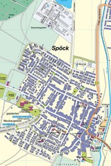
Spoeck Map
Street map of town of Spoeck
273 miles away
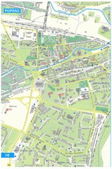
Poprad Tourist Map
Tourist map of Poprad, Slovakia. Shows points of interest.
273 miles away
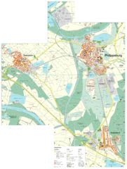
Philippsburg Map
Street map of Philippsburg
273 miles away
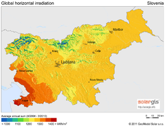
Solar Radiation Map of Slovenia
Solar Radiation Map Based on high resolution Solar Radiation Database: SolarGIS. On the Solar Map...
274 miles away
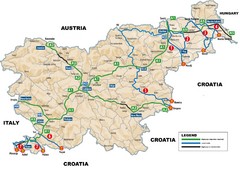
Slovenia Highways Map
274 miles away

