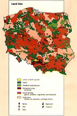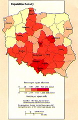
Poland Population Density Map
Map of Poland's population density
241 miles away
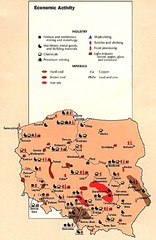
Poland Economic Activity Map
Map of Poland's economic activity
241 miles away

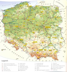
Poland Map
Map of Poland showing major roads, railroads, cities and boundaries.
241 miles away
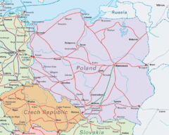
Interrail Routes in Central Europe Map
Map shows railway routes for Poland, Germany, Czech Republic and Slovakia.
241 miles away

Poland Country Map
CIA Atlas of Eastern Europe - PCL Map Collection, University of Texas at Austin.
241 miles away
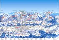
Innsbruck Region Ski Map
Shows ski regions around Innsbruck, Austria
242 miles away

Heilbronn Tourist Map
Tourist map of Heilbronn
242 miles away
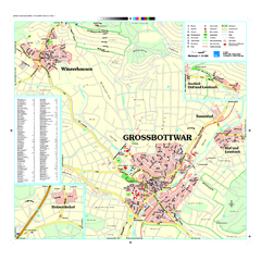
Großbottwar Map
Street map of Großbottwar and surrounding area
242 miles away
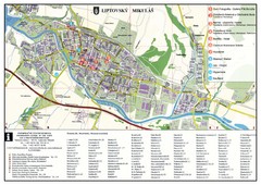
Liptovsky Mikulas Tourist Map
Tourist map of Liptovsky Mikulas, Slovakia
243 miles away
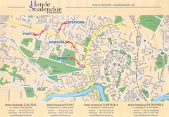
Cracow City Map
City map of Cracow with hotels
244 miles away
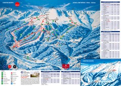
Jasná Ski Trail Map
Trail map from Jasná.
244 miles away
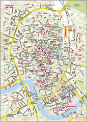
Krakow City Center Map
245 miles away
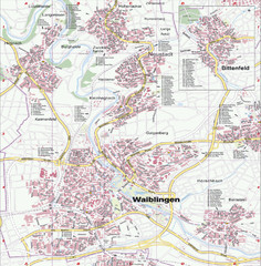
Waiblingen Map
City map of Waiblingen and surrounding region
245 miles away
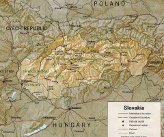
Slovakia country map
Map of Slovakia with surrounding countries. Shows boundaries, major cities, and shaded with...
245 miles away
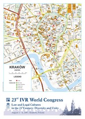
Krakow Map
Map of the city of Krakow. Includes streets, buildings, hotels, and parks.
245 miles away
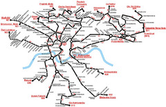
Krakow Bus Routes Map
245 miles away
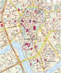
Krakow Tourist Map
245 miles away
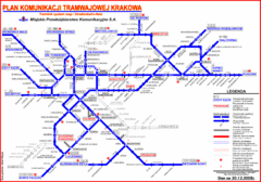
Cracow Tramlink Map (Polish)
245 miles away
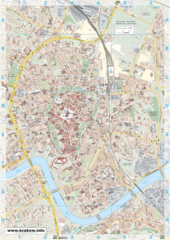
Krakow City Map
City map of central Krakow, Poland.
245 miles away
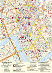
Krakow Tourist Map
Tourist map of central Krakow, Poland. Shows tourist routes and site of historic interest.
245 miles away
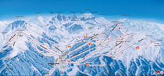
Axamer Lizum Ski Trail Map
Trail map from Axamer Lizum.
246 miles away
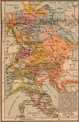
Germany Italy 1803 Map
Germany and Italy in 1803 after the Principle Decree of the Imperial Deputation
246 miles away
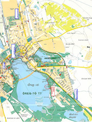
Tatai Öreg-tó Map
246 miles away
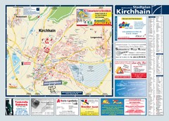
Kirchhain Tourist Map
Tourist map of Kirchhain and surrounding region
247 miles away
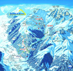
Fulpmes Ski Trail Map
Trail map of Fulpmes ski area in the Stubai Alps near Fulpmes, Austria. Schlick 2000
247 miles away
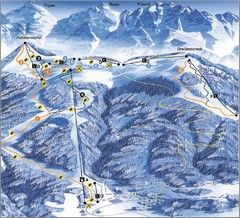
Arnoldstein—Dreiländereck Ski Trail Map
Trail map from Arnoldstein—Dreiländereck, which provides downhill skiing. It has 8 lifts. This...
247 miles away
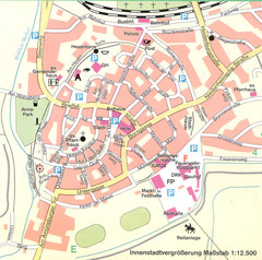
Kirchain Center Map
Street map of Kirchain center
247 miles away
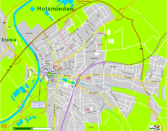
Holzminden Map
Street map of Holzminden
248 miles away
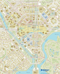
Wallensen Downtown Map
Wallensen City Downtown Map.
248 miles away
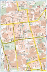
Lódź Tourist Map
Tourist map of central Lódź, Poland. Shows points of interest.
248 miles away
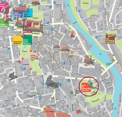
Kempten im Allgäu Tourist Map
Tourist street map of Kempten im Allgäu
248 miles away
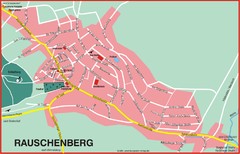
Rauschenberg Map
Street map of town of Rauschenberg
248 miles away
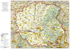
Duna-Ipoly Nemzeti National Park Map
Reference map of Duna-Ipoly Nemzeti National Park and surrounding area north of Budapest, Hungary
249 miles away
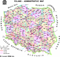
Poland Map
Map of Poland that includes all freeways, cities, districts and surrounding countries.
250 miles away
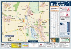
Karben Tourist Map
Tourist map of Karben and surrounding region
250 miles away
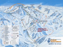
Stubaital Ski Trail Map
Trail map from Stubaital.
251 miles away

