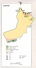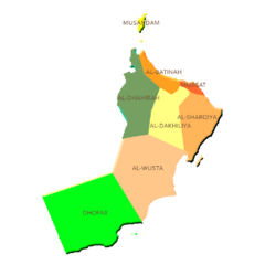
Northern Oman Map
1334 miles away
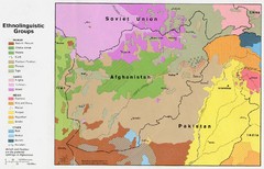
AFG afghanistan & environs ethnolinguistic...
1335 miles away
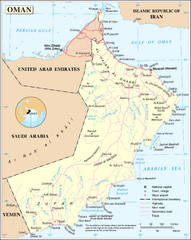
Oman Overview Map
1336 miles away
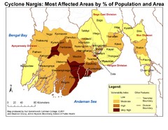
Cyclone Nargis Affected Area Map
Cyclone Nargis Vulnerability Estimates by Township
1340 miles away
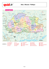
Bhutan Regional Map
Map of country with detail of regional divides
1342 miles away
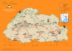
Bhutan Tourist map
Bhutan tourism map from the Bhutan Department of Tourism. Shows roads, trekking routes, campsites...
1343 miles away
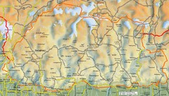
Bhutan road Map
1343 miles away
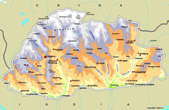
Bhutan Map
1344 miles away

Afg Topographic Map
1350 miles away
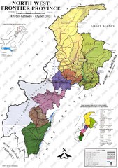
NWFP Division Map
Federally administered tribal area divisions in Pakistan as of 1995.
1350 miles away
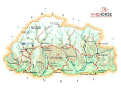
Bhutan physical Map
1352 miles away
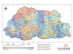
Bhutan population Map
1352 miles away
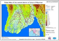
Elevation Map Central Distrisct of Union of...
The map shows topography of the Ayeyarwady (Irrawady) Delta and the Sittoung (Sittang) Delta, that...
1359 miles away
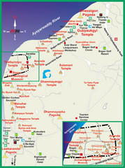
Pagan Tourist Map
1365 miles away
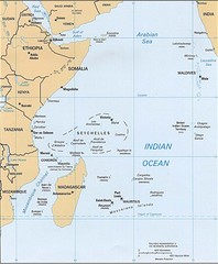
Indian Ocean Islands Map
Guide to the islands and atolls of the Indian Ocean
1366 miles away
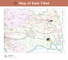
Map of East Tibet X
1367 miles away
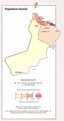
Oman Population Density Map
Map of Oman's population density
1369 miles away
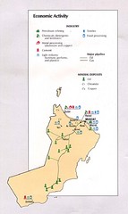
Oman Economic Activity Map
Map of Oman's economic activity
1371 miles away
![AFG Afghanistan_pop72[1] Map AFG Afghanistan_pop72[1] Map](/maps/AFG-Afghanistanpop721-Map.thumb.jpg)
AFG Afghanistan_pop72[1] Map
1372 miles away
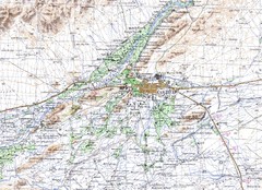
Kandahar Area Topo Map
Topo map of Kandahar, Afghanistan.
1373 miles away
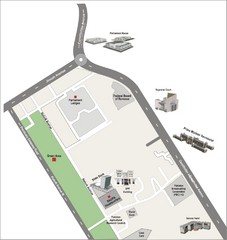
Overseas Pakistanis Foundation Ministery Map
1373 miles away
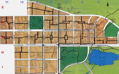
Islamabad Map
1375 miles away
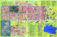
Islamabad Map
Street map of Islamabad; shows all buildings. Breakout map of central Rawalpindi.
1377 miles away
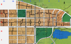
Islamabad City Map
City map of Islamabad, Pakistan
1377 miles away
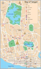
Yangon Map
1385 miles away
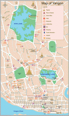
Yangon Myanmar or Rangoon Burma city map
City map of downtown Yangon, Myanmar aka Rangoon, Burma. Shows points of interest and major pagodas.
1386 miles away
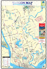
Yangon Tourist Map
Tourist map of Yangon, Myanmar. Also known as Rangoon. Shows pagodas and other points of interest.
1386 miles away
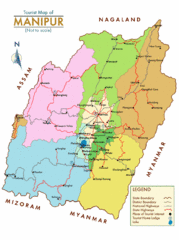
Manipur India Tourist Map
Tourist Map of Manipur, India showing tourist sites, roads and cities.
1387 miles away
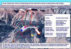
Gulmarg Ski Trail Map
Trail map from Gulmarg, which provides downhill skiing.
1394 miles away
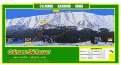
Gulmarg Trail Map
1395 miles away
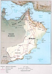
Oman Country Map
1395 miles away
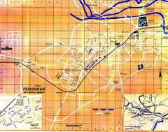
Peshawar City Map
City map of Peshawar, Pakistan
1412 miles away
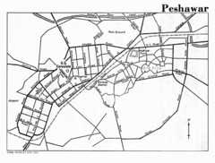
Peshawar Map
Guide to Peshawar, Pakistan
1412 miles away
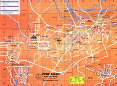
Peshawar City Map
City map of Peshawar, Pakistan. Scanned.
1412 miles away
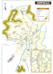
Imphal India Tourist Map
Tourist Map of Imphal City, India showing roads, tourist attractions and the airport.
1412 miles away
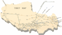
Tibet Travel Map
Tibet travel map showing roads, distances between cities and routes to other cities.
1422 miles away
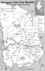
Toungoo District Map
Geographic map of Toungoo District of Burma
1427 miles away
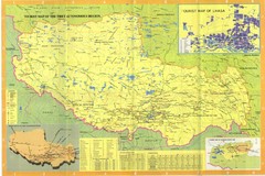
Tibet Map
1427 miles away

