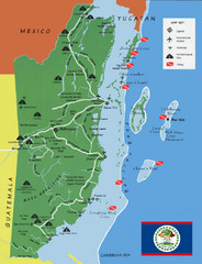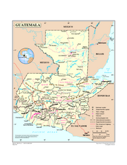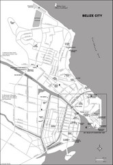
Belize City map
Detailed map of the Belize City road system.
6 miles away
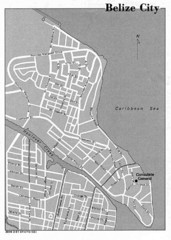
Belize City - U.S. Department of State, 1981 Map
6 miles away
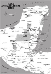
Mayan Archaeological sites in Belize Map
16 miles away
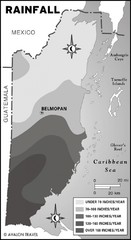
Belize rainfall Map
17 miles away
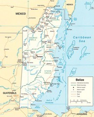
Belize Map
Detailed map of Belize showing cities, roads, railroads and boundaries.
18 miles away
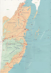
Belize Map
24 miles away
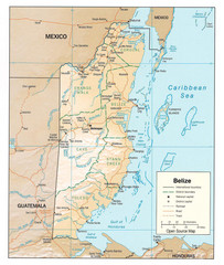
Belize Guide Map
24 miles away
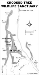
Crooked Tree Wildlife Sanctuary Map
24 miles away

Turneffe Islands atoll Map
29 miles away

San Pedro Tourist Map
Tourist map of town of San Pedro on island of Ambergris Caye, Belize
30 miles away
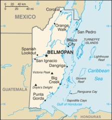
Belize Peaks and Rivers Map
31 miles away
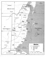
Belize (Political) U.S. Department of State 1990...
31 miles away
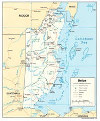
Belize Tourist Map
31 miles away
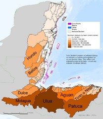
Annual Sediment Delivery from MAR Watersheds Map
This map shows which basins (or watersheds) deliver the most sediment on an annual basis to the...
31 miles away
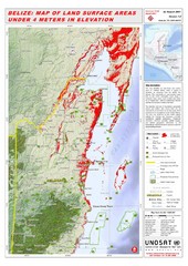
Belize Land Surface Areas Under 4 Meters Map
This map shows elevation areas in Belize under 4 meters in Red. This was the limit for the storm...
31 miles away
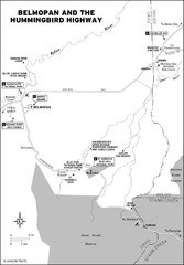
Belmopan and the Hummingbird highway Map
36 miles away
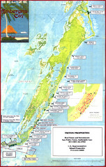
Ambergris Caye Tourist Map
Tourist map of island of Ambergris Caye, Belize. Inset shows town of San Pedro.
40 miles away
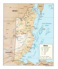
Belize Map
Map of Belize showing cities, rivers and district boundaries.
42 miles away
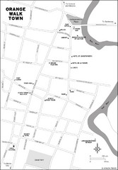
Orange Walk Town Map
View This Map
52 miles away
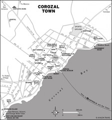
Corozal Town Map
58 miles away
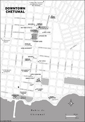
Downtown Chetumal Map
65 miles away
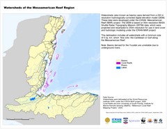
Watersheds of the Mesoamerican Reef Region Map
Map of watersheds or basins on map without elevation data
69 miles away
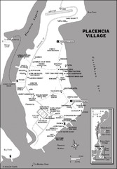
Placencia village Map
72 miles away
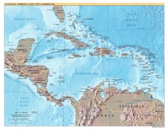
Central America Map
78 miles away
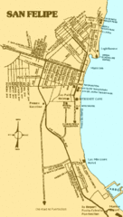
San Felipe, Mexico Beach Tourist Map
85 miles away
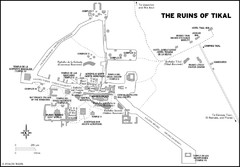
Tikal ruins Map
95 miles away
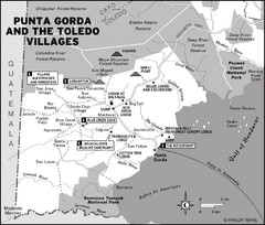
Punta Gorda and the Toledo villages Map
112 miles away
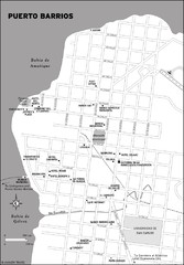
Puerto Barrios city Map
129 miles away
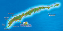
Roatan Island Tourist Map
147 miles away
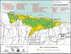
Refugio de Vida Silvestre Cuaro y Salado Mapa Map
Map of the Silvestre Cuaro and Salado Wildlife Refuge, Atlandida, Honduras.
150 miles away
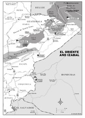
El Oriente and Izabal region Map
155 miles away

Cayos Cochios Islad Map
160 miles away
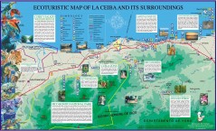
La Ceiba Ecotourism Map
Ecotourism map of La Ceiba, Honduras and its surroundings.
164 miles away
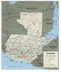
Guatemala Tourist Map
181 miles away

Guatemala Cities and Town Topo Map
Topography map of cities and towns in Guatemal by Center for Integration of Natural Disaster...
181 miles away
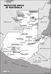
Protected areas of Guatemala Map
182 miles away
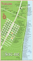
Tulum Hotel Map
190 miles away
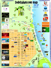
Tulum Tourist Map 2009
Tourist map showing town and Mayan ruins of Tulum, Mexico on the Caribbean. Shows hotels...
190 miles away


 Explore Maps
 Map Directory
