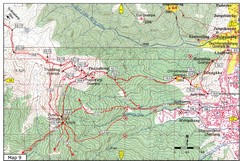
Dechenphodrang and Pajoding, Thimphu Map
Dechenphodrang to Pajoding, Tujedrag and Pumola monastaries
171 miles away
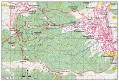
Trail fom Youth Center Thimphu to Pumola...
Way to Pumola monastery
172 miles away
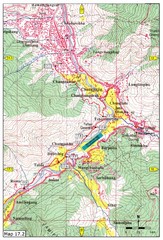
Khasadrapchu to Thimphu trail pt 2 Map
Khasadrapchu to Thimphu trail part 2. (Rama to Thimphu)
172 miles away
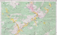
Old Map of Thimphu 1
173 miles away

Trail to Bimelang Lake, Thimphu Map
Bimelang Lake Trail
173 miles away
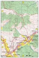
Khasadrapchu to Thimphu trail pt 1 Map
178 miles away
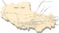
Tibet Travel Map
Tibet travel map showing roads, distances between cities and routes to other cities.
179 miles away
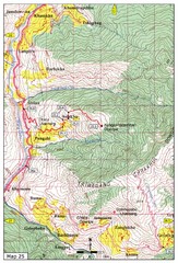
Trail from Sisina to Kunzangdechen monastery Map
Sisina to Kunzangdechen trail
180 miles away
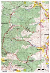
Trail to Bemri Lhakhang Map
Trail to Bemri Lhakhang south of Thimphu
181 miles away
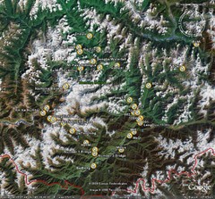
Metok Satellite Map
182 miles away
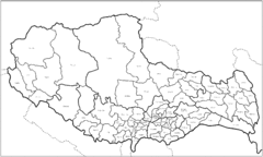
Tibet County Outline Map
Outline map of Tibet counties.
182 miles away
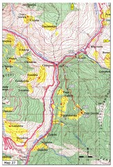
Trail to Paga Monastery Map
Trail to Paga Monastery near Chudzomtsa
183 miles away
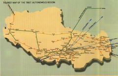
Tibet Railway Map
185 miles away
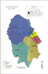
Haa Dzongkhag, Bhutan Road Map
188 miles away
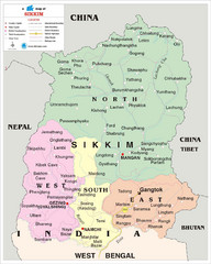
Sikkim Travel Map
Sikkim, India Travel Map with cities, roads and borders.
189 miles away
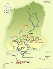
Sikkim Tourist Map
197 miles away
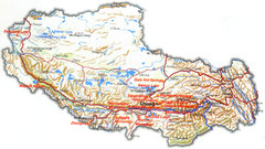
Tibet Tourist Map
Tourist map of Tibet showing interesting sights, cities and topography in English.
207 miles away

Tibet Relief Map
A Relief Map of Tibet with pictures of tourist sites, roads, cities and other places of interest...
217 miles away
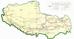
Tibet Map
Map of Tibet showing roads, towns, rivers, railways and mountains.
229 miles away
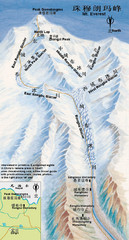
Mt Everest Rongbu Glacier Climbing Map
261 miles away
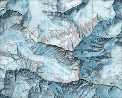
Mount Everest Map
261 miles away
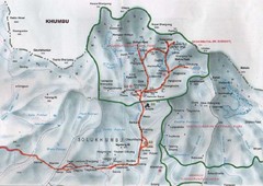
Mt. Everest Map
261 miles away
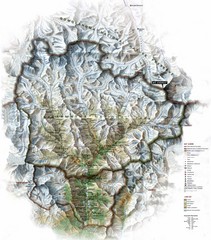
Sagarmatha National Park Map
Shows Sagarmatha National Park, Nepal and surrounding National Parks near Mt. Everest. Shows...
281 miles away
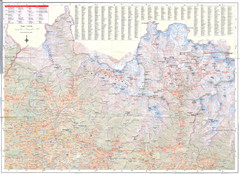
Sagarmatha National Park Map
Detailed topo map of Sagarmatha National Park in Nepal. Shows park boundary, peaks, passes...
288 miles away
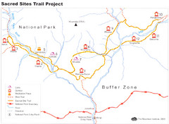
Khumbu Region Sacred Sites Trail Map
Shows the Sacred Site Trail in the Khumbu region of Nepal in Sagarmatha National Park. From the...
293 miles away
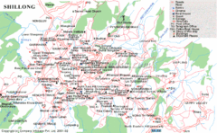
Shillong City Map
Streets, points of interest and more are clearly labeled on this map and legend.
298 miles away

Kurigram District Map
308 miles away
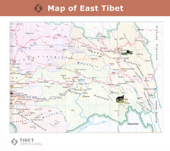
Map of East Tibet X
314 miles away
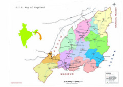
Nagaland Tourist Map
Tourist map of state of Nagaland, India. Shows tourist destinations and roads.
347 miles away
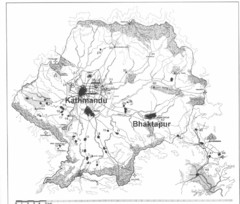
Kathmandu Valley Map
357 miles away
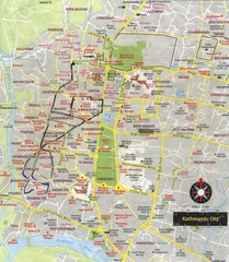
Kathmandu City Tourist Map
Tourist Map of Kathmandu, Nepal showing tourist attractions, streets, walking route and trolley...
357 miles away
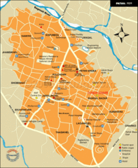
Patan Lalitpur, Nepal Guide Map
357 miles away

Bangladesh 1998 flood map
389 miles away
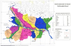
River Basin of Bihar Map
River Basin's shown in color on Map
392 miles away
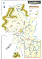
Imphal India Tourist Map
Tourist Map of Imphal City, India showing roads, tourist attractions and the airport.
397 miles away
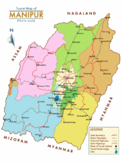
Manipur India Tourist Map
Tourist Map of Manipur, India showing tourist sites, roads and cities.
398 miles away

Bangladesh Agro Ecological zones Map
400 miles away

Bangladesh simplified geology Map
401 miles away


