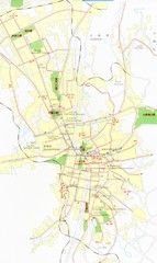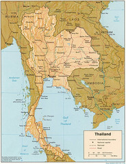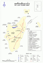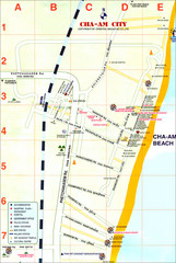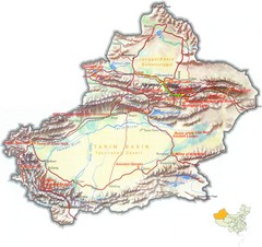
Xinjiang China Tourist Map
Tourist Map of Xinjiang, China showing tourist attractions, roads, cities and mountains.
1243 miles away
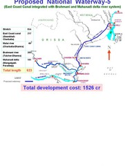
India Proposed National Waterway -5 Map
India inland waterways map showing the integration of the East Coast Canal with Brahmani and...
1245 miles away

Chapman University Map
1247 miles away
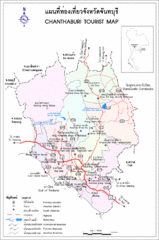
Chantaburi Tourist Map
Chanthaburi, Thailand Tourist Map
1247 miles away
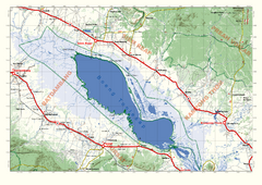
Tonle Sap Map
Regional map of Tonle Sap, Cambodia. Features some major temples, access roads, cities and villages
1248 miles away
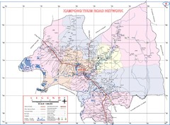
Kampong Thum Province Cambodia Road Map
1248 miles away
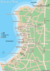
Pattaya Hotel Map
1250 miles away
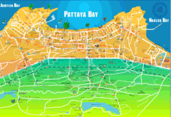
Pattaya Bay Tourist Map
Tourist map of Pattaya Bay. Shows businesses, hotels, and other points of interest.
1250 miles away
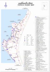
Pattaya Tourist Map
Tourist map of Pattaya, Thailand. In Thai and English.
1250 miles away
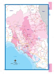
Chanthaburi, Thailand Map
1251 miles away
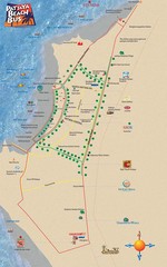
Pattaya Tourist Map
Places of interest, party bus route.
1251 miles away
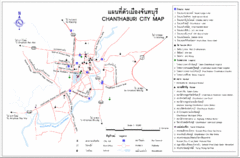
Chanthaburi City Map
City Map of Chanthaburi with hotels and attractions
1252 miles away
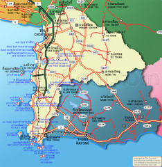
Pattaya Tourist Map
1254 miles away
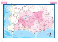
Rayong, Thailand Map
1254 miles away

Rayong Province Map
1254 miles away

Rayong Thailand Tourist Map
Tourist map of Rayong, Thailand showing tourist attractions, roads, railways and airports.
1254 miles away
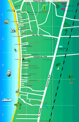
Jomtien Beach Map
1254 miles away
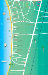
Jomtien Beach Map
1255 miles away
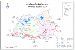
Rayong Tourist Map
Tourist map of Rayong, Thailand
1255 miles away
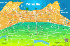
Pattaya Map
1257 miles away

Koh Samet Map
1263 miles away
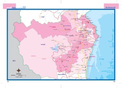
Phetchaburi, Thailand Map
1266 miles away
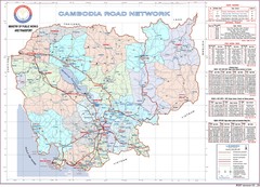
Cambodian National Road Map (also Index to...
Searching the red names on this map will help you find each province's road map.
1267 miles away
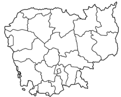
Cambodia Provinces Outline Map
1270 miles away
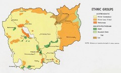
Cambodia Ethnic Groups Map
Map of Cambodia with detail of ethnic group distributions
1270 miles away
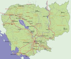
Cambodia Map
1270 miles away
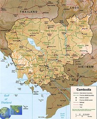
Cambodia Map
Map of Cambodia showing cities, roads, railroads, mountains and borders.
1270 miles away
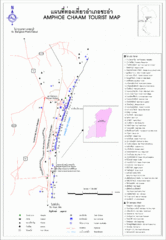
Amphoe Chaam Tourist Map
Destination Guide for Cha-am, coast of Thailand
1273 miles away

Mondol Kiri Province Cambodia Road Map
1275 miles away
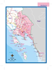
Trat, Thailand Map
1276 miles away

Trat Province Guide Map
1277 miles away
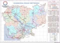
Cambodian Proviencial Road Map
Cambodian road map. This is the index map to each province has a more detailed map. Refer to the...
1278 miles away
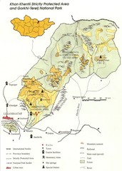
Khan Khentii Strictly Protected Area Map
1280 miles away
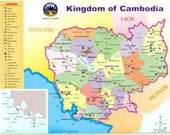
Kingdom of Cambodia - Ministry of Tourism Map
1283 miles away
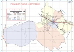
Pousat Province Cambodia Road Map ( Pursat...
1283 miles away
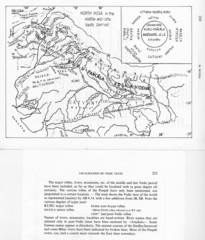
Kirata (Nepal) and North India in the middle and...
Kirata (Nepal) and North India map including tribes, rivers, mountains.
1284 miles away

