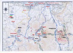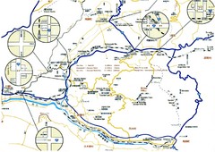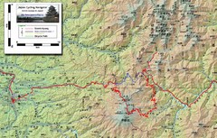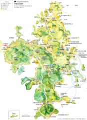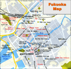
Fukuoka Hotel Map
Hotels and roads are marked on this small map.
207 miles away
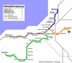
Fukuoka Subway Map
Map of subway transit throughout city
207 miles away
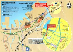
Kyushu University International House Information...
207 miles away
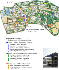
Nagoya University Map
Map and legend of this small university.
208 miles away
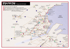
Pohang Map
223 miles away

Wakasa Japan Tourist Map
Wakasa, Japan Tourist Infomation map. Yellow - Nature, Pink - History/Culture, Green - sights for...
226 miles away
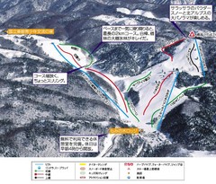
Hida Takayama Ski Trail Map
Trail map from Hida Takayama.
229 miles away

Toyama City Tourist Map
Tourist map for Toyama (Koyama), guide map, places of interest.
237 miles away
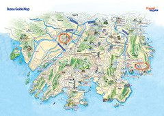
Busan Tourist Map
Tourist map of South Korea's 2nd most populous city, Busan. Shows points of interest.
239 miles away
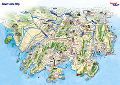
Busan City Tourist Map
City map of Busan. Shows places of interest.
239 miles away
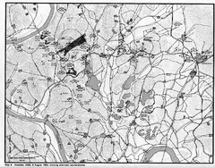
Counterattacks on the Naktong Map
A study of counterattack theory as it existed during the defense of the Pusan Perimeter in the...
241 miles away
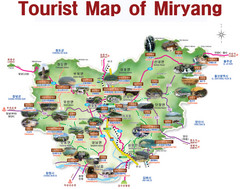
Miryang City Tourist Map
Map is in English and identifies tourist attractions by names and pictures.
253 miles away
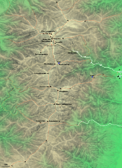
Kiso-Komagatake Hiking Map
Map of Chuo Alps.
257 miles away

Hamamatsu Tourist Map
258 miles away
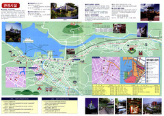
Nagasaki Tourist Map
Tourist map of Nagasaki, Japan. Shows points of interest. In Korean.
269 miles away
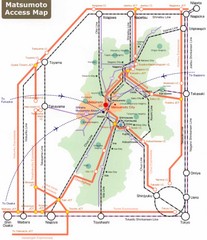
Matsumoto Transportation Map
269 miles away
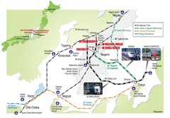
Hakuba Valley Map
The Hakuba Valley is located in the "heart" of Japan, a 3 hour scenic rail journey from...
271 miles away
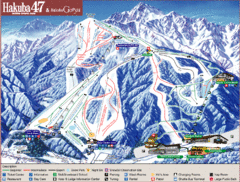
Hakuba Ski Trail Map
Easy to read map and key to this fun ski resort.
271 miles away
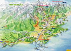
Goseong Tourist Map
281 miles away
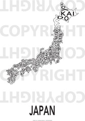
Urban Region Map: Japan Map
This Urban of Japan is a modern twist on traditional maps - perfect to frame and display on any...
285 miles away
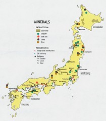
Japan Minerals Map
Map of Japan's mineral distribution
285 miles away
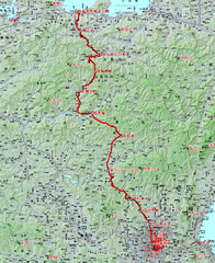
MaxiMarathon Japan Route Map
285 miles away
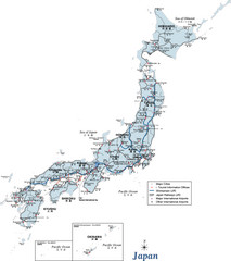
Japan Map
Reference map of Japan. Shows tourist information offices, major cities, roads, and airports.
285 miles away
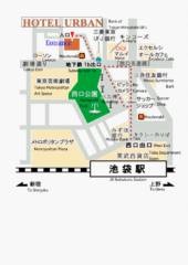
Central Nagano Map
288 miles away
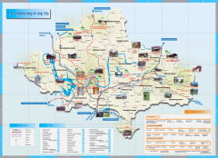
Jingu Tourist Map
Tourist map of Jingu, Korea and surrounding area. Shows photos of points of interest.
293 miles away
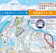
Akakura Ski Map
293 miles away

Children's Guide to Shimizu City, Japan Map
297 miles away
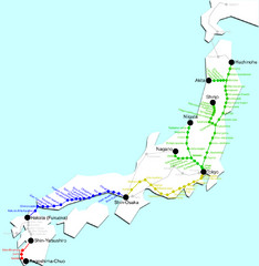
Japan Bullet Train Map
Map of bullet train transit along Japan
305 miles away
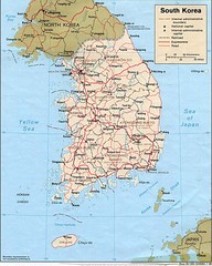
South Korea Tourist map
308 miles away
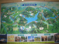
Chungju Tourist Map
Tourist map of Chungju, Korea. From photo.
308 miles away
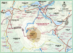
Mt. Fuji Area Map
Topographical map of the summit and area around Mt. Fuji-san, Japan
308 miles away

1914 Mt. Fuji Map
308 miles away
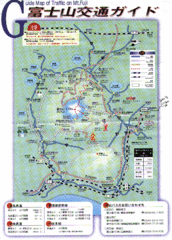
Mt. Fuji Road and Trail Map
Guide Map of Traffic on Mt. Fuji
309 miles away
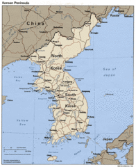
Korean Peninsula Tourist Map
310 miles away
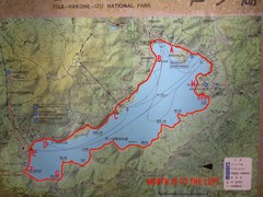
Ashinoko Lake Trail Map
Map of the Ashinoko Lake area in Fuji-Hakone-Izu National Park, Japan, Ashinoko, Shows some...
324 miles away

