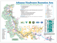
Arkansas Headwaters Recreation Area map
Detailed map for Arkansas Headwaters Recreation Area in Colorado
184 miles away
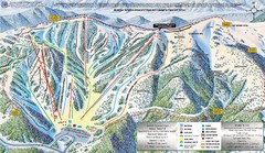
Monarch Mountain Trail Map
185 miles away
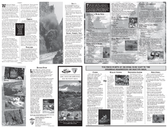
Arkansas Headwaters Recreation Area Map
Map of recreation area with detail of various recreation zones and lakes
185 miles away
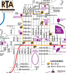
Gunnison RTA Bus Route Map
186 miles away
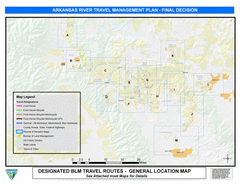
Arkansas River Planning and Zoning Map
General locations along the Arkansas River
187 miles away
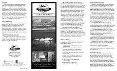
Lake Pueblo State Park Map
Map of park with detail of recreation zones
188 miles away
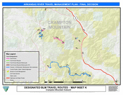
Arkansas River Near Fremont County, Colorado Map
188 miles away
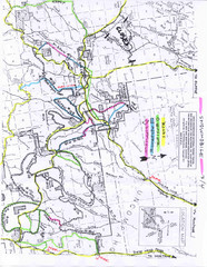
Uncompahgre National Forest Map
National Forest in Western Colorado
189 miles away
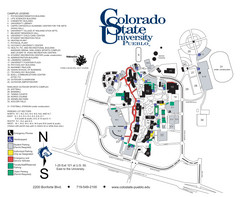
Colorado State University - Pueblo Campus Map
Campus map of Colorado State University-Pueblo
195 miles away
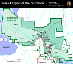
Black Canyon of the Gunnison National Park Map
Official NPS map of Black Canyon of the Gunnison in Colorado. Shows all areas including the South...
196 miles away
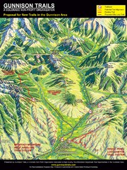
Gunnison Proposed Trails Map
Shows proposed trails from Gunnison, Colorado to Crested Butte, Colorado
197 miles away
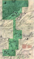
Petrified Forest National Park Map
Petrified Forest National Park Map with trails, vistiors centers and park area marked.
199 miles away
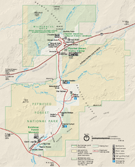
Petrified Forest National Park Official Park Map
Official NPS map of Petrified Forest National Park in Arizona. Open year round except Christmas...
200 miles away
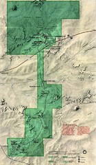
Petrified Forest Map
Map of the Petrified Forest, Painted Desert and Rainbow Forest. Shows all roads, tourist...
201 miles away
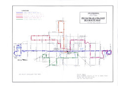
Pecos Trails Bus Route Map
203 miles away
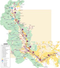
Central Colorado Fishing Guide Map
205 miles away
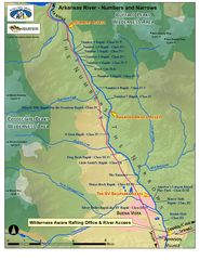
Arkansas River Numbers and Narrows Rafting Map
Rafting map of the Numbers and Narrows rapids sections of the Arkansas River near Buena Vista...
208 miles away
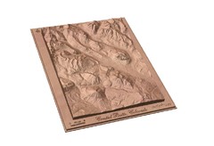
Carved Wooden Map of Crested Butte, Colorado by...
Crested Butte, CO Carved by CarvedMaps.com
209 miles away
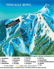
Crested Butte Mountain Resort Ski map - Teocalli...
Inset of the official Crested Butte trail map showing the experts-only Teocalli Bowl.
209 miles away
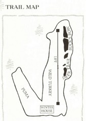
Ski Broadmoor Ski Trail Map
Trail map from Ski Broadmoor. This ski area opened in 1960’s.
210 miles away
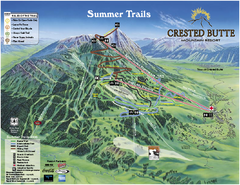
Crested Butte Mountain Resort Summer Trail Map
Official Crested Butte Mountain Resort summer trail map. Created by James Niehues.
210 miles away
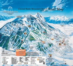
Crested Butte Mountain Resort Ski Trail Map
Official trail map of Crested Butte Mountain Resort, 2006-07 season.
210 miles away
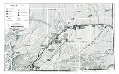
Santa Fe Trail Visitor Map
Map of the Santa Fe Trail showing all hiking trails, camping and picnic areas, roads, and monuments...
210 miles away
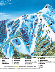
Crested Butte Mountain Resort Teocalli Bowl Ski...
Trail map from Crested Butte Mountain Resort, which provides downhill, nordic, and terrain park...
211 miles away
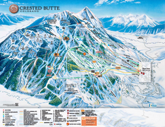
Crested Butte Mountain Resort Ski Trail Map
Trail map from Crested Butte Mountain Resort, which provides downhill, nordic, and terrain park...
211 miles away
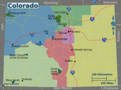
Colorado Region Map
212 miles away
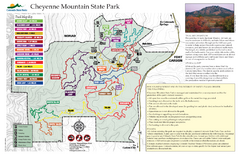
Cheyenne Mountain State Park Map
Trail map of park
214 miles away
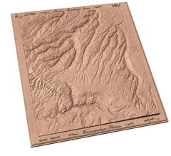
Uncompahgre Plateau by carvedmaps.com Map
Uncompahgre Plateau
214 miles away
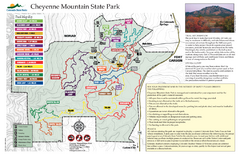
Cheyenne Mountain State Park trail map
Trail map for Cheyenne Mountain State Park in Colorado.
215 miles away
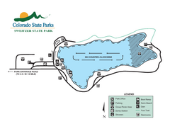
Sweitzer Lake State Park Map
Map of park with detail of recreation zones
215 miles away
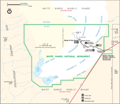
White Sands National Monument Map
215 miles away
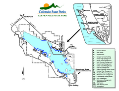
Eleven Mile State Park Map
Map of park with detail of campground zones
216 miles away
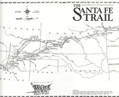
Santa Fe Trail Map
Historic map of the Santa Fe caravan trail
216 miles away
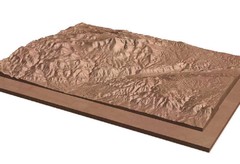
Pikes Peak, Colorado carved by CarvedMaps.com Map
Pikes Peak in Colorado has been carved by CarvedMaps.com This company can carve anywhere within...
217 miles away
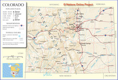
Colorado Cities Map
218 miles away
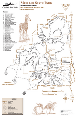
Mueller State Park Trail Map
Map of park with detail of hiking trails
218 miles away
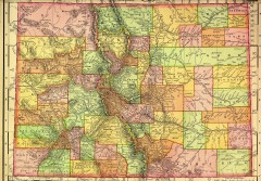
Colorado State map 1895
Map of the state of Colorado, 1895. Shows counties and major topography.
220 miles away
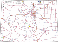
Colorado Highways Map
Road map of highways in state of Colorado
220 miles away

Colorado Springs, Colorado City Map
222 miles away

