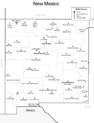
New Mexico Airports Map
100 miles away
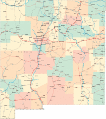
New Mexico Road Map
Detailed road map of New Mexico state
105 miles away
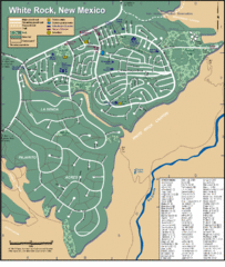
White Rock Road Map
Large and detailed map marking points of interest and roads.
106 miles away
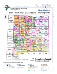
Index of BLM Maps for NM Hunting Units Map
This handy index shows the BLM surface management (land ownership) maps you need for all the...
107 miles away

Wolf Creek Ski Trail Map
Official ski trail map of Wolf Creek ski area
111 miles away

Wolf Creek Ski Area Ski Trail Map
Trail map from Wolf Creek Ski Area, which provides downhill and nordic skiing. It has 7 lifts...
112 miles away
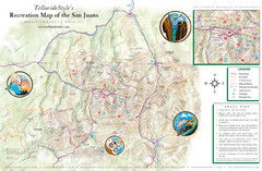
San Juan Mountains Trail Map
113 miles away
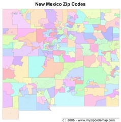
New Mexico Zip Codes Map
114 miles away
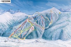
Keystone Ski Area Map
Ski trails, lifts and mountain elevations for Keystone and Bear Mountain, Colorado.
120 miles away
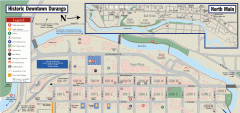
Historic Downtown Durango map
Walking map of historic downtown Durango, Colorado. Sponsored by the Durango Business Improvement...
126 miles away
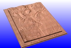
Durango, Colorado carved by CarvedMaps.com Map
Wooden map of Durango carved by Tom Justin at CarvedMaps.com. CarvedMaps.com does a beautiful...
126 miles away
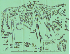
Hesperus Ski Area Ski Trail Map
Trail map from Hesperus Ski Area.
126 miles away
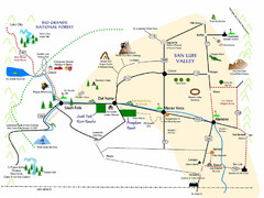
San Luis Valley Tourist Map
Tourist map of San Luis Valley, Colorado area. Shows attractions.
127 miles away
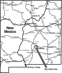
New Mexico Tourist Map
General outline of New Mexico
130 miles away
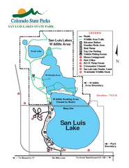
San Luis State Park Map
Map of park with detail of recreation zones
130 miles away
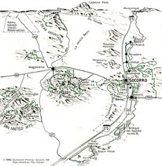
Socorro, New Mexico Guide Map
Trails and mountains map in and around Socorro, New Mexico
130 miles away
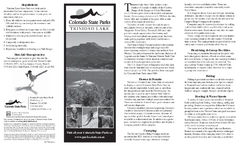
Trinidad State Park Map
Map of park with detail of recreation zones
133 miles away
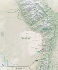
Great Sand Dunes National Park and Preserve map
Official NPS map of Great Sand Dunes National Park and Preserve. Park includes the tallest dune in...
138 miles away
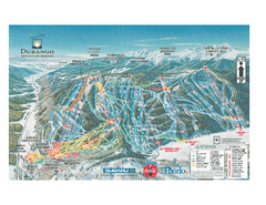
Durango Mountain Ski Trail Map
Official ski trail map of Durango Mountain Resort (formerly Purgatory) from 2003
144 miles away
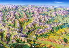
Ouray, Colorado area map
Regional artistic aerial view of the Ouray area and surrounding San Juan Mountains. Shows...
146 miles away
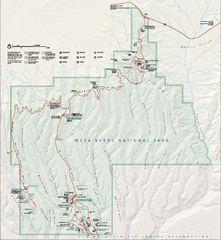
Mesa Verde National Park Official Park Map
Official NPS map of Mesa Verde National Park in Colorado. Mesa Verde National Park is open year...
147 miles away
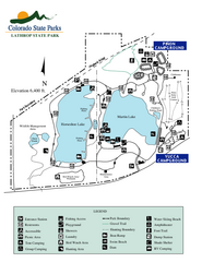
Lathrop State Park Map
Map of park with detail of recreation zones
147 miles away
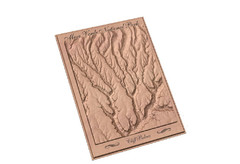
Mesa Verde carved by carvedmaps.com Map
Carved map of Mesa Verde in Colorado by carvedmaps.com
147 miles away
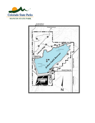
Mancos State Park Map
Map of park with detail of recreation zones
148 miles away
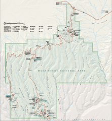
Mesa Verde National Park Official Park Map
Official NPS map of Mesa Verde National Park in Colorado. MESA VERDE NATIONAL PARK IS OPEN DAILY...
148 miles away
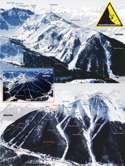
Silverton Ski Trail Map
Ski trail map of Silverton Mountain in Silverton, Colorado. Lift-serviced backcountry conditions...
150 miles away
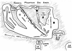
Kendall Mountain Ski Trail Map
Trail map from Kendall Mountain, which provides downhill and nordic skiing. It has 1 lift servicing...
150 miles away
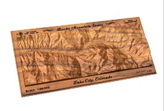
Lake City, CO carved by carvedmaps.com Map
Lake City, CO map carved by carvedmaps.com
152 miles away
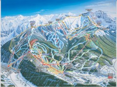
Telluride ski trail map
Official ski trail map of Telluride ski area from the 2006-2007 season.
162 miles away
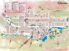
Telluride Town Map
162 miles away
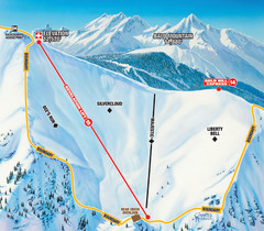
Telluride Revelation Bowl Ski Trail Map
Trail map from Telluride, which provides downhill, nordic, and terrain park skiing. It has 18 lifts...
162 miles away
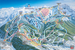
Telluride Ski Trail Map
Trail map from Telluride, which provides downhill, nordic, and terrain park skiing. It has 18 lifts...
162 miles away
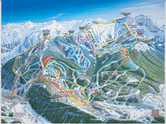
Telluride, Colorado Trail Map
162 miles away
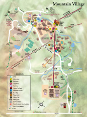
Mountain Village Tourist Map
Tourist map of Mountain Village, Colorado at the Telluride Ski Area.
163 miles away
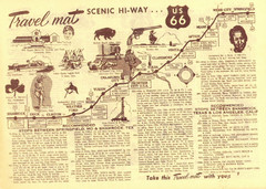
Route 66 Stops Between Shamrock, Texas and Los...
Route 66 Landmarks
164 miles away
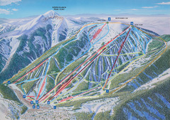
Ski Apache Ski Trail Map
Trail map from Ski Apache.
176 miles away
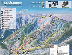
Ski Apache Ski Trail Map
Official ski trail map of Ski Apache ski area in New Mexico. Go to the site to view photos and...
176 miles away
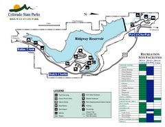
Ridgway State Park Map
Map of park with detail of recreation zones
177 miles away
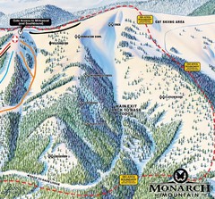
Monarch Ski & Snowboard Area Mirkwood at Monarch...
Trail map from Monarch Ski & Snowboard Area, which provides downhill and terrain park skiing. It...
181 miles away
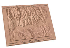
Blue Mesa Reservoir by Carvedmaps.com Map
Blue Mesa Reservoir carved by carvedmaps.com - Tom Justin artist
181 miles away

