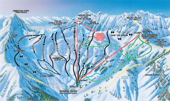
Snowbird Ski and Summer Resort Mineral Basin Ski...
Trail map from Snowbird Ski and Summer Resort.
432 miles away
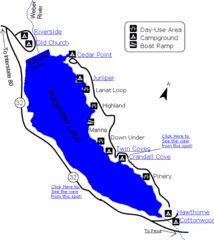
Rockport State Park Map
Find first-rate, year-round recreation at this northern Utah destination. During summer, fish, boat...
433 miles away

Alta Ski Trail Map
433 miles away
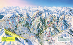
The Canyons Ski Trail Map
Trail map from The Canyons.
434 miles away
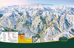
The Canyons Ski Trail Map
Official ski trail map of The Canyons ski area from the 2007-2008 season.
434 miles away
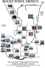
Rocky Point, New Mexico Restaurants Map
436 miles away

Snowbird Trail Map
Ski trail map
439 miles away

Wasatch Front Watershed Map
441 miles away
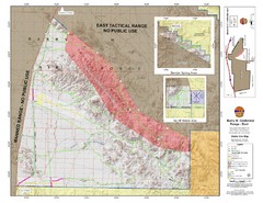
Barry M. Goldwater Range Topographical Map
Map showing detailed information about the Barry M. Goldwater Range, Sauceda and Sand Tank...
442 miles away
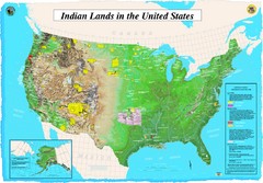
Indian Lands Map
Map of Indian Lands throughout the US
442 miles away
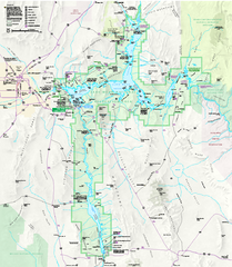
Lake Mead National Recreation Area Map
443 miles away
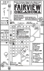
Fairview City Map
City map of Fairview with restaurants, government offices, medical services and hotels
444 miles away
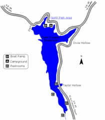
East Canyon State Park Map
East Canyon State Park is a 680-acre boating and year-round fishing delight nestled in the...
446 miles away
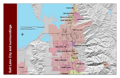
Salt Lake City and Surrounding Area Map
Cities and streets identified along with mountain range elevation.
447 miles away

Jordan River Parkway Map
447 miles away

Abilene, Texas State Park Map
448 miles away
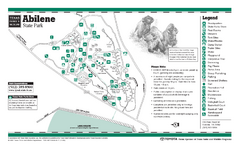
Abilene State Park Map
448 miles away
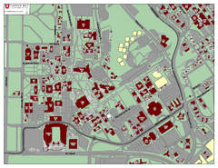
University of Utah Map
448 miles away
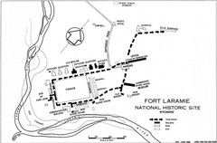
Fort Laramie Guide Map
A layout of the National Historic site Fort Laramie in Wyoming.
449 miles away

Sports Facilities in Abilene, Texas Map
Map of locations of sports facilities in Abilene, Texas.
449 miles away
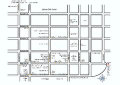
Shopping Guide, Downtown Abilene, Texas Map
Tourist map showing shopping opportunities in downtown Abilene, Texas.
449 miles away

Antiques Stores in Abilene, Texas Map
Tourist map showing locations of antiques stores in Abilene, Texas.
449 miles away

Attractions in Abilene, Texas Map
Tourist map showing attractions in Abilene, Texas.
449 miles away
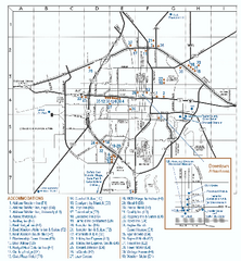
Hotels in Abilene, Texas Map
Tourist map showing lodging options in Abilene, Texas.
449 miles away
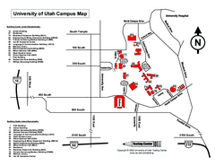
University of Utah Map
University of Utah Campus Map. All buildings shown.
449 miles away
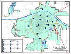
Abilene City Parks Map
449 miles away
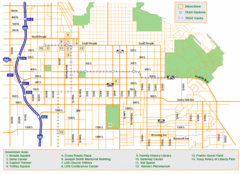
Downtown Salt Lake City Map
Street map of downtown Salt Lake City
450 miles away
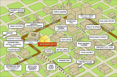
Salt Lake City Tourist Map
Tourist map of Salt Lake City, Utah. Shows points of interest.
450 miles away
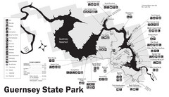
Guernsey State Park Map
The park has long been known as a haven for boating, camping, hiking and picnicking, but its real...
451 miles away
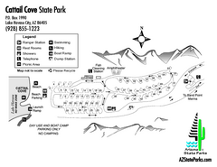
Cattail Cove State Park Map
Map of park with detail of trails and recreation zones
451 miles away
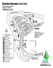
Buckskin Mountain State Park Map
Map of park with detail of trails and recreation zones
453 miles away
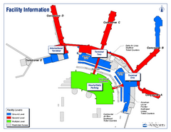
Salt Lake City International Airport Terminal Map
Official Terminal Map of Salt Lake City International Airport. Shows all terminals and facilities.
454 miles away
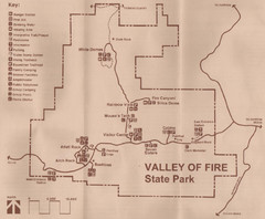
Valley of Fire State Park Map
Scanned from park brochure
454 miles away
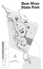
Bear River State Park Map
455 miles away
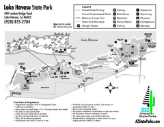
Lake Havasu State Park Map
Map of park with detail of trails and recreation zones
455 miles away
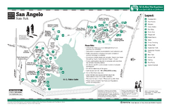
San Angelo, Texas State Park Facility and Trail...
455 miles away
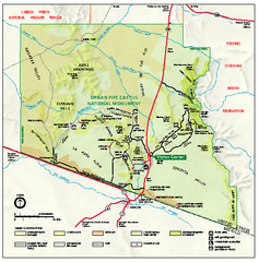
Organ Pipe Cactus National Monument Map
Official NPS map of Organ Pipe Cactus National Monument in Arizona on the Mexican border. Shows...
457 miles away

Continental Divide Map
460 miles away
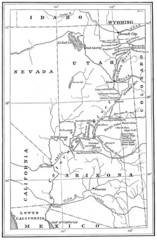
1914 Grand Canyon & Colorado River Map
Historic map of the Colorado River, from Wyoming to Mexico
461 miles away

