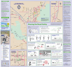
Tuscon Metro Bike Map (Back)
363 miles away
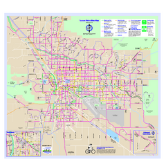
Tucson Metro Bike Map
Bike route map of the city of Tucson, Arizona.
363 miles away
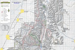
Utah Arapeen OHV Trail System- North Map
The Utah Arapeen OHV Trail System located in near the Towns of Fairview, Ephraim, and Mant, Utah.
363 miles away
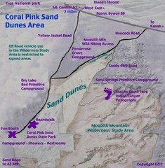
Coral Pink Sand Dunes Map
363 miles away
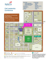
Central Phoenix, Arizona Restaurant Map
364 miles away
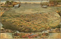
Dyer’s Birdseye view of Phoenix (1885) Map
C.J. Dyer's beautiful birdseye map of Phoenix in 1885.
364 miles away

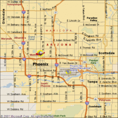
Phoenix, Arizona City Map
364 miles away
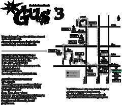
Glendale Urban Shuttle 3 Map
364 miles away
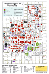
University of Arizona Campus Map
Campus map of the University of Arizona. All buildings shown.
364 miles away
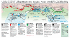
Grand Canyon Shuttle Bus Map
Guide to shuttle bus routes, points of interest and parking in Grand Canyon National Park
365 miles away
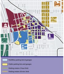
Tuscon Map
Parking garages, lots, and meters in Tuscon.
365 miles away
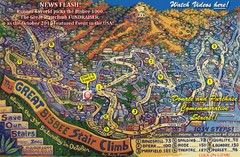
Bisbee, AZ Stairclimb 2010 Map
5K race map. This map does not do the website justice. Definitely a must-see.
368 miles away
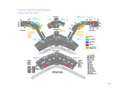
Tucson International Airport Terminal Map
Official Map of Tucson International Airport. Shows all terminals.
369 miles away
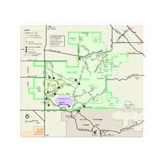
Saguaro National Park Official Park Map
Official NPS map of Saguaro National Park in Arizona. Map shows all areas. Both districts of the...
370 miles away
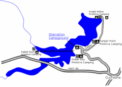
Starvation State Park Map
The sprawling waters of Starvation Reservoir offer great fishing and boating. Find a secluded...
370 miles away
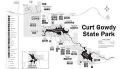
Curt Gowdy State Park Map
Curt Gowdy is a recreation area with three reservoirs. It's great for fishing, camping, water...
371 miles away

University Of Phoenix Stadium Map
One of the most amazing stadiums, with the first fully retractable natural grass playing surface...
371 miles away
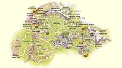
Arizona-Sonora Desert Museum Map
372 miles away
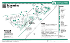
Balmorhea State Park Facility Map
372 miles away
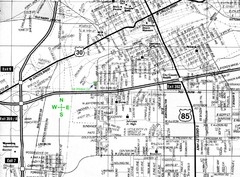
Cheyenne, Wyoming City Map
373 miles away

Light Rail Route Map
Map of Light Rail system throughout Sierra Vista
374 miles away
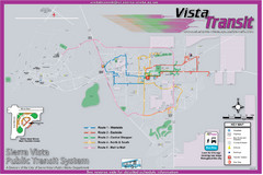
Sierra Vista Transit Route Map
Route Map of Sierra Vista Transit Bus System. Includes all transit routes, bus stops, streets...
374 miles away
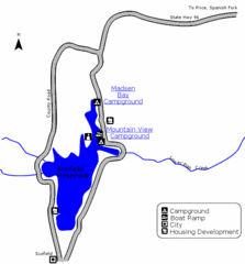
Scofield State Park Map
Camp, boat, and fish at this summer and winter recreation destination situated high in the Manti...
374 miles away

Geological Map of the San Pedro River
This is a map of the San Pedro River valley up to where it joins the Gila.
374 miles away
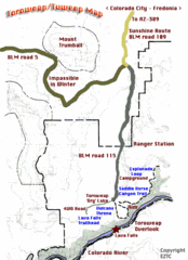
Toroweap Park Map
375 miles away
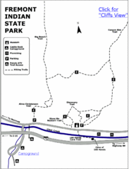
Fremont Indian State Park Map
Discover artifacts, petroglyphs, and pictographs left behind by the Fremont Indians. During...
376 miles away
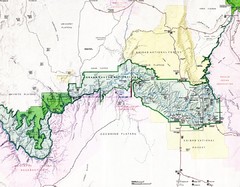
Grand Canyon Map
Guide to the Grand Canyon National Park
376 miles away
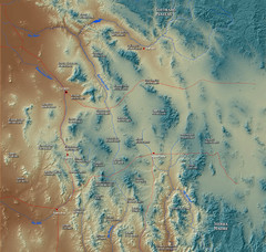
US and Mexico Sky Islands Map
Madrean Sky Islands of the U.S. and Mexico
376 miles away
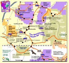
Zion National Park Tourist Map
376 miles away
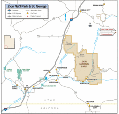
Zion National Park Highway Map
Highways, roads, cities and points of interest are marked on this clear map.
377 miles away
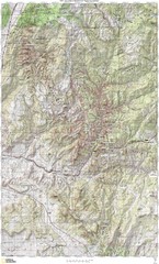
Zion National Park Topography Map
377 miles away
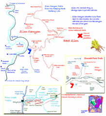
Zion National Park Trails Map
377 miles away
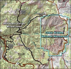
Topo Map of Ashdown Gorge Wilderness, including...
Cedar Breaks is similar to Bryce Canyon in many ways, but is more of an amphitheater than a canyon...
377 miles away
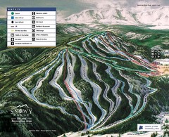
Snowy Range Ski Trail Map
Trail map from Snowy Range.
377 miles away
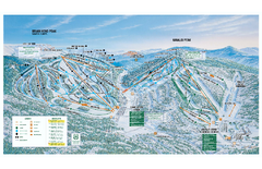
Brian Head Ski Trail Map
Official ski trail map of Brian Head ski area from the 2007-2008 season.
378 miles away
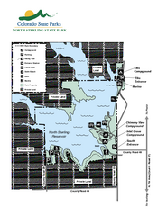
North Sterling State Park Map
Map of park with detail of recreation zones
378 miles away
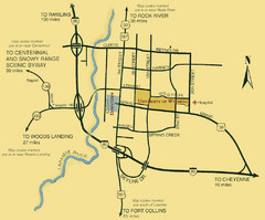
Laramie City Map
City map of Laramie, Wyoming with University of Wyoming highlighted.
378 miles away

