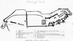
Bamburgh Castle Map
474 miles away
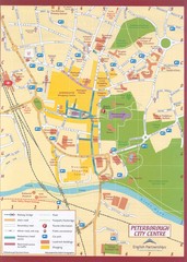
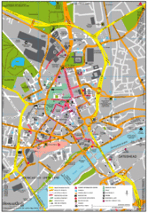
Peterborough City Center Map
City map of central Peterborough, England
474 miles away
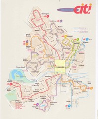
Peterborough Stage Coach Citi Bus Map
474 miles away
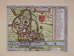
1611 Newcastle-Upon-Tyne Historic Map
Guide to historic Newcastle upon Tyne
474 miles away
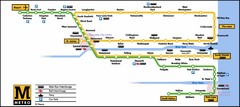
Newcastle Metro System Map
474 miles away
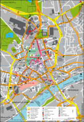
Newcastle City Map
City center map of Newcastle Upon Tyne, UK
474 miles away
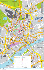
Newcastle Tourist Map
Tourist map of central Newcastle Upon Tyne, UK. Shows points of interest.
474 miles away
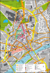
Newcastle Upon Tyne City Map
City map of Newcastle Upon Tyne with tourist information and some of Gateshead
474 miles away
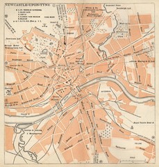
Newcastle upon Tyne Map
1920 Michelin Map to Newcastle upon Tyne, UK
474 miles away
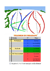
Brabant Ski Trail Map
Trail map from Brabant.
475 miles away
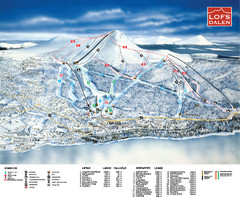
Lofsdalen Ski Trail Map
Trail map from Lofsdalen.
476 miles away
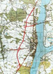
Serock Map
Town map of Serock, Poland. Not very much detail.
477 miles away
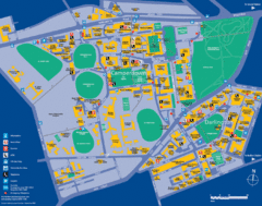
Camperdown Tourist Map
Guide map for Camperdown and Darlington, United Kingdom
477 miles away
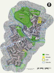
Canterbury Map
Map of parks, main streets, etc.
478 miles away
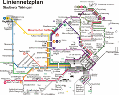
Tubingen Bus Map
Bus routes and connections, Tubingen, Germany. (German).
479 miles away
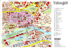
Tübingen Tourist Map
Tourist map of Old Town center of Tübingen
479 miles away
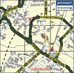
Chelmsford Map
479 miles away
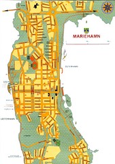
Mariehamn City Map
City Map of Mariehamn
479 miles away
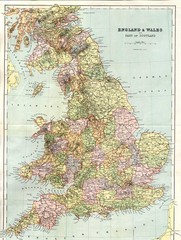
England and Wales Map
Guide to England, Wales and part of Scotland, showing counties
479 miles away
Bawtry Road Bus Lane Map
479 miles away
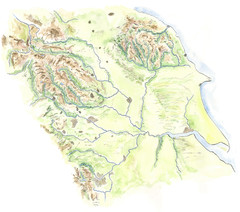
Yorkshire topography Map
480 miles away
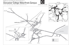
Doncaster College Waterfront Campus Map
B&W Printable version of the Doncaster College Waterfront Campus showing parking and vehicular...
480 miles away
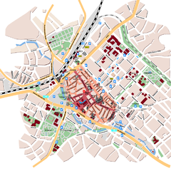
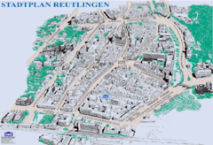
Reutlingen Tourist Map
Tourist street map of Reutlingen
480 miles away
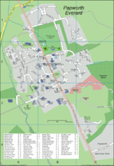
Papworth Everard Tourist Map
480 miles away
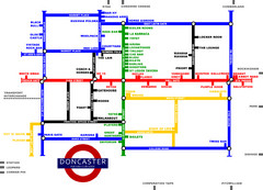
Doncaster Pup Guide Map
480 miles away
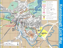
Knaresborough Cycling Map
Shows traffic free cycling routes, advisory routes, traffic calmed roads, cycle lanes, bike shops...
483 miles away
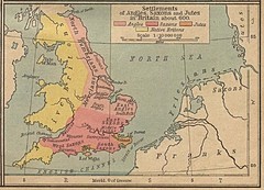
600 British Settlement Map
Map of settlements of Angels, Saxons, Jutes and Native Britons in 600
483 miles away
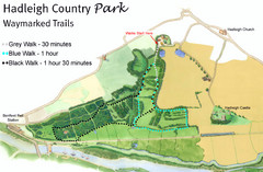
Hadleigh Country Park Map
3 walks, each color coded according to the estimated time it would take to complete each trek...
483 miles away
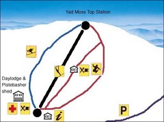
Yad Moss Sketch Ski Trail Map
Trail map from Yad Moss.
483 miles away
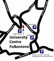
University Centre at Folkestone Map
484 miles away
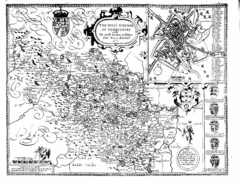
1610 Yorkshire County Historical Map
A 1610 map of Yorkshire Country in the United Kingdom
484 miles away
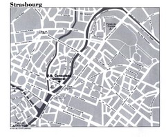
Strasbourg City Map
City map of part of Strasbourg, France. Shows US Consulate.
484 miles away
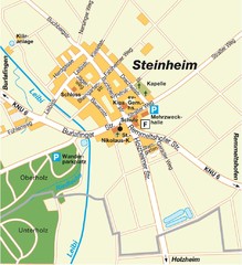
Ulm Steinheim Map
Street map of town of Ulm Steinheim
484 miles away
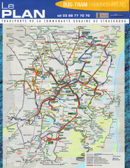
Strasbourg Bus and Tram Map
484 miles away
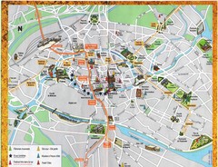
Strassburg Tourist Map
Tourist map of central Strassburg, France. Shows streets, trams, and major buildings. Scanned.
484 miles away
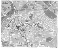
Strasbourg Map
Shows bus and tram itineraries to the Brethren Colleges Abroad office from the train station and...
484 miles away

Strasbourg Map
484 miles away

