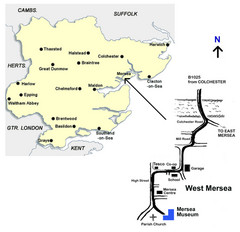
West Mersea Island Museum Map
461 miles away
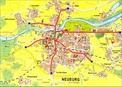
Neuburg an der Donau Map
Street map of Neuburg an der Donau
462 miles away

Broadstairs Tourist Map
462 miles away
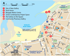
Margate Tourist Map
Tourist map of Margate, England.
463 miles away
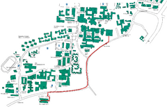
Universität Stuttgart Campus Map
In Stuttgart, Germany
464 miles away
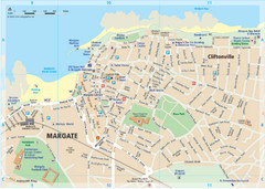
Margate TouristMap Map
464 miles away
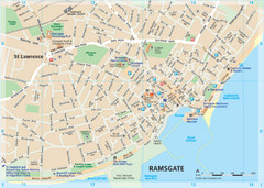
Ramsgate Tourist Map
Near Kent, England
464 miles away
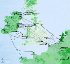
Ireland to Luxembourg Travel Map
Major routes from Ireland to Luxembourg. Shows major cities in Ireland, England, Germany and the...
465 miles away
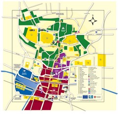
Lincoln Tourist Map
Tourist map of Lincoln, England. Shows points of interest.
465 miles away
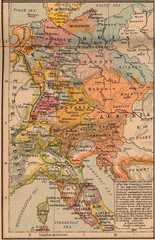
Germany Italy 1803 Map
Germany and Italy in 1803 after the Principle Decree of the Imperial Deputation
466 miles away

Thanet Isle Map
1809 Guide to Thanet Isle in Britain
466 miles away
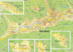
Bad Wildbad Map
Map of Bad Wildbad and surrounding region
466 miles away
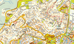
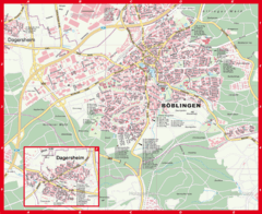
Boblingen Street Map
Street map of Boblingen center
468 miles away
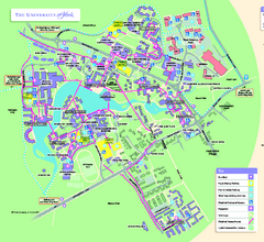
University of York Map - Heslington Campus
Campus map of the University of York Heslington Campus near York, England.
468 miles away
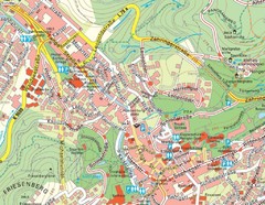
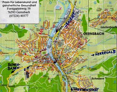
Baden Baden Street Map
Street map of city of Baden Baden
468 miles away
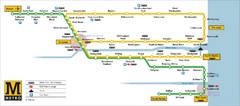
Tyne and Wear Metro Route Map
Map of metro transit routes throughout Tyne and Wear
468 miles away
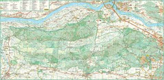
Kampinoski National Park Map
Kampinoski National Park
468 miles away
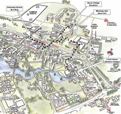
University of York Campus Map
Relevant landmarks and main roads and buildings
468 miles away
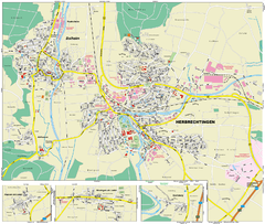
Herbrechtingen Map
Street map of city of Herbrechtingen
468 miles away
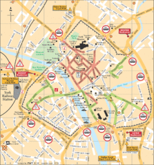
York Tourist Map
469 miles away
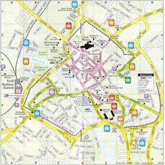
York England Tourist Map
Tourist map of York England showing roads, tourist sites ad railways.
469 miles away
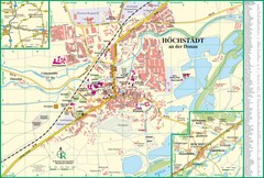
Höchstädt an der Donau Map
Street map of Höchstädt an der Donau
469 miles away
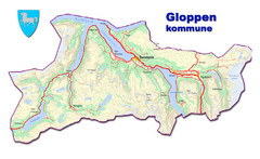
Gloppen Town Map
Topo map of Gloppen, Norway
469 miles away
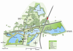
Whisby Nature Park Map
Shows park as of January 2009.
470 miles away
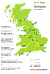
United Kingdom Map
470 miles away
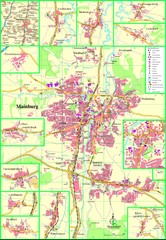
Mainburg Map
Street map of Mainburg city and surrounding region
471 miles away
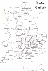
Tudor England Counties Map
Guide to the counties of England under Tudor reign
471 miles away

Wuerttembergische Landeskirche Map
Karte der Evang. Landeskirche in Wuerttemberg, The Evangelical-Lutheran Church in Wuerttemberg
472 miles away
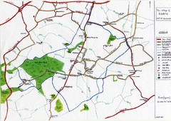
Hoath Town Map
Handwritten map of town of Hoath, England near Canterbury.
473 miles away
Delaine Bus Route Map
Map of bus routes throughout from Borne to Peterborough
473 miles away
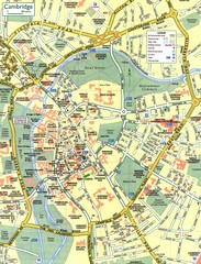
Cambridge Street Map
Street map of central Cambridge, England. Shows University of Cambridge.
473 miles away
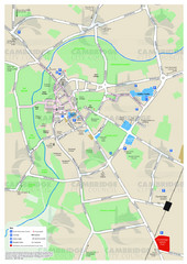
Cambridge Area Map
City map of Cambridge, England. Shows public facilities.
473 miles away
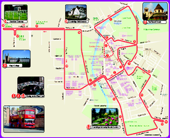
Cambridge Bus Tour Map
Cambridge Bus Tour Map - City Sightseeing
473 miles away
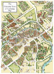
Cambridge England Map
Map of Cambridge, showing all the Colleges
473 miles away
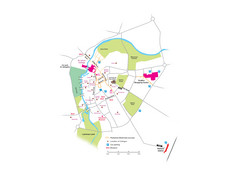
Cambridge City Centre Map
Locations and areas in Cambridge, England
473 miles away
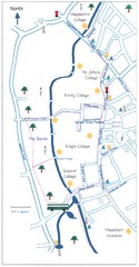
Cambridge Walking Map
Hand drawn tourist walking map of Cambridge, UK
473 miles away

