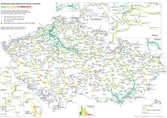
Elevation Railway Map of Czech Republic
Elevation of railways and main stations in Czech republic. Blue numbers show elevation of stations...
446 miles away
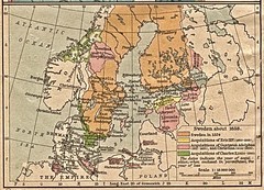
Historic map of Sweden in 1658
446 miles away
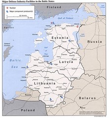
Major Defense Industries in the Baltic States Map
446 miles away
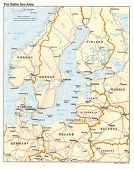
Balkan Sea States Map
446 miles away
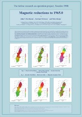
Magnetic Reductions to 1965.0 Map
Maps represent the total field magnetic anomalies of the Earth's lithosphere at the grid...
446 miles away
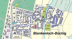
Buechig Map
Street map of town of Buechig
447 miles away
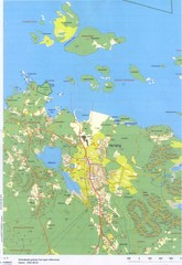
Herräng area map
Shows Herräng, Sweden and surrounding area
447 miles away
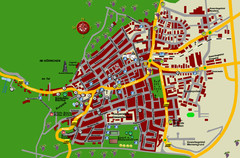
Bad Bergzabern Tourist Map
Tourist street map of Bad Bergzabern
447 miles away
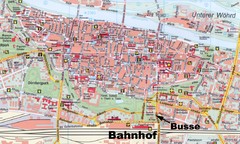
Regensburg Tourist Map
Tourist map of Regensburg city center
447 miles away
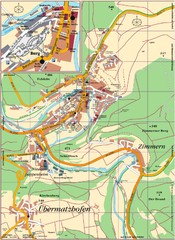
Pappenheim Map
Street map of Pappenheim
448 miles away
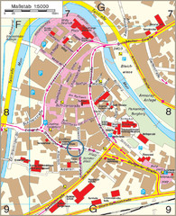
Backnang City Map
Street map of Backnang city center
448 miles away
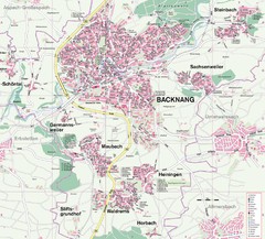
Backnang Region Map
Street map of Backnang and surrounding area
448 miles away
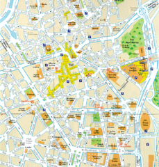
Lille Center Map
Street map of Lille city center
448 miles away
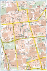
Lódź Tourist Map
Tourist map of central Lódź, Poland. Shows points of interest.
448 miles away
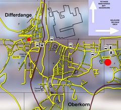
Differdange Bus Map
448 miles away
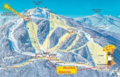
Arber Ski Trail Map
Trail map from Arber.
449 miles away
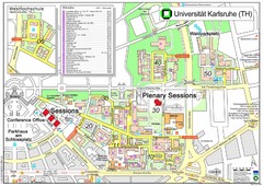
Karlsruhe University Campus Map
Campus map of Universität Karlsruhe, the oldest Technical University in Germany, founded in...
449 miles away
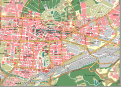
Karlsruhe Map
City street map of Karlsruhe
450 miles away
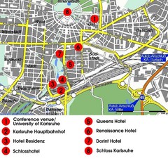
Karlsruhe Hotel Map
450 miles away
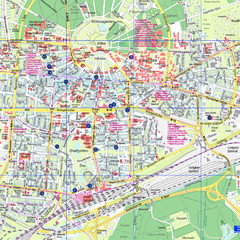
Karlsruhe Tourist Map
Tourist map of Karlsruhe
450 miles away
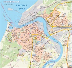
Ventspils city Map
450 miles away
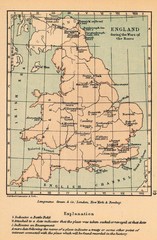
England War of the Roses Map
Guide to battle sites, encampments and treaties of the War of the Roses in England
450 miles away
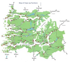
Sogn og Fjordane Region Map
Map of the Sognefjorden, Norway region
451 miles away
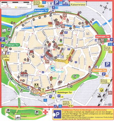
Nördlingen Tourist Map
Tourist street map of Nördlingen
453 miles away
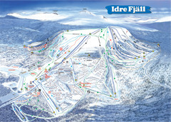
Idre Ski Trail Map
Trail map from Idre.
455 miles away

Woodhall Spa Map
Street map of Woodhall Spa
455 miles away
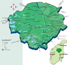
Nasjonalparkriket National Park Region Map
The national parks region "Nasjonalparkriket" is centrally located between the cities of...
455 miles away
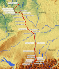
Romantische Strasse Map
456 miles away
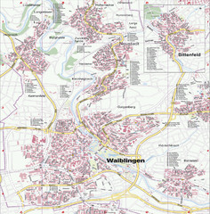
Waiblingen Map
City map of Waiblingen and surrounding region
456 miles away
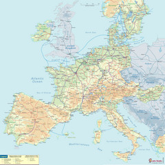
European Railway Map
456 miles away
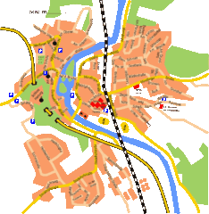
Harburg Map
Street map of Harburg town
457 miles away
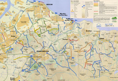
Redcar & Cleveland Horse Riding Routes Map
Horseriding route map of Redcar & Cleveland area, England shows public bridleways, public...
458 miles away
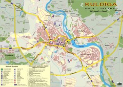
Kuldiga city Map
458 miles away
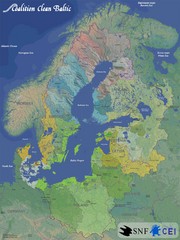
Baltic Sea River Basins Map
Map of the river basins feeding the Baltic Sea from the surrounding countries in Coalition Clean...
460 miles away
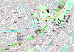
Stuttgart Street Map
Street map of Stuttgart, Germany. Show major buildings and public transport routes.
461 miles away
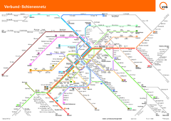
Stuttgart, Nahverkehr Map
461 miles away
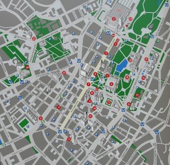
Stuttgart Tourist Map
Tourist street map of Stuttgart center
461 miles away

