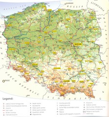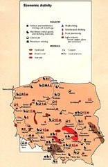
Poland Economic Activity Map
Map of Poland's economic activity
431 miles away

Poland Map
Map of Poland showing major roads, railroads, cities and boundaries.
431 miles away
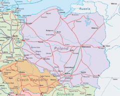
Interrail Routes in Central Europe Map
Map shows railway routes for Poland, Germany, Czech Republic and Slovakia.
431 miles away

Poland Country Map
CIA Atlas of Eastern Europe - PCL Map Collection, University of Texas at Austin.
431 miles away
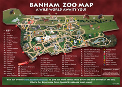
Banham Zoo Map
432 miles away
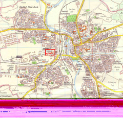
Crailsheim Map
Street map of Crailsheim region
433 miles away
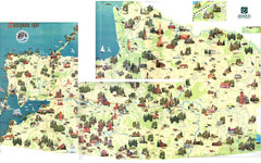
Kalinigrad region tourist map
434 miles away
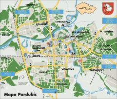
Pardubice Tourist Map
Tourist map of Pardubice, Czech Republic
434 miles away
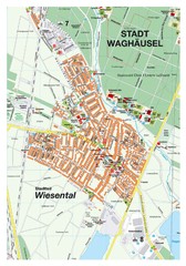
Wiesental Map
Street map of town of Wiesental
434 miles away
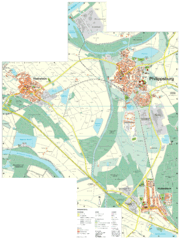
Philippsburg Map
Street map of Philippsburg
434 miles away

Heilbronn Tourist Map
Tourist map of Heilbronn
435 miles away
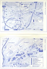
Kirchberg Map
Map of Kirchberg, Luxembourg. In French. Scanned.
437 miles away
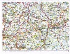
Gerhardsbrunn Map
437 miles away
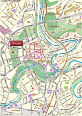
Luxembourg city Map
438 miles away
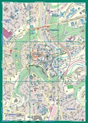
Luxembourg City Street Map
Street map of Luxembourg city and surrounding area.
438 miles away
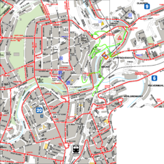
City Center with Bus and Rail Lines Map
438 miles away
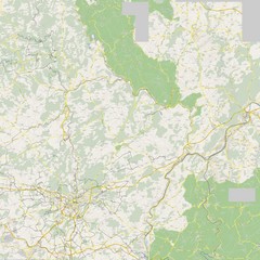
Luxembourg Bike Map
439 miles away
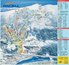
Hafjell Ski Trail Map
Trail map from Hafjell.
441 miles away
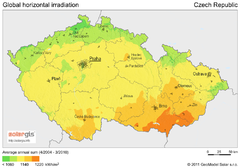
Solar Radiation Map of Czech republic
Solar Radiation Map Based on high resolution Solar Radiation Database: SolarGIS. On the Solar Map...
441 miles away
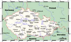
Czech Republic Tourist Map
441 miles away
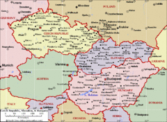
Czech Republic Tourist Map
441 miles away
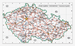
Czech Republic Country Map
Map of Czech Republic, roads, and major cities.
441 miles away
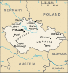
Czech Republic Country Map
Country of Czech Republic, and surrounding countries.
441 miles away
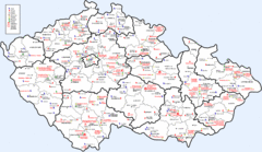
Czech Castles Map
Shows castles in the Czech Republic
441 miles away
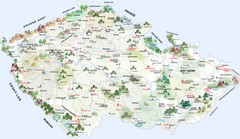
Czech Republic Tourist Map
Tourist map of the Czech Republic
441 miles away
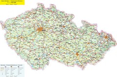
Czech Republic Road Map
Road map of the Czech Republic. Legend in Czech, German, and English.
441 miles away
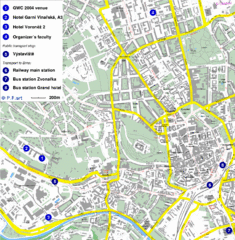
Czech Republic Tourist Map
Czech Republic Tourist Map. Includes roads, landmarks and street names.
441 miles away
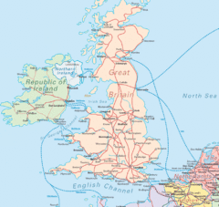
United Kingdom Transit Map
Guide to rail and ferries in the United Kingdom and surrounds
442 miles away
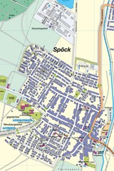
Spoeck Map
Street map of town of Spoeck
442 miles away
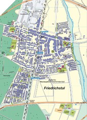
Friedrichstal Map
Street map of town of Friedrichstal
443 miles away
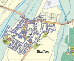
Staffort Map
Street map of town of Staffort
443 miles away
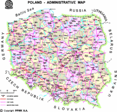
Poland Map
Map of Poland that includes all freeways, cities, districts and surrounding countries.
443 miles away
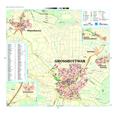
Großbottwar Map
Street map of Großbottwar and surrounding area
445 miles away
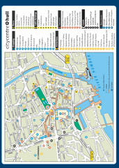
Hull City Centre Map
Tourist map of city of Hull. Shows points of interest including shopping, attractions, places...
445 miles away
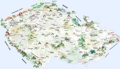
Czech Republic Castle map
Castle map of the Czech Republic
445 miles away
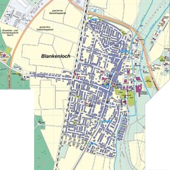
Blankenloch Map
Street map of town of Blankenloch
445 miles away
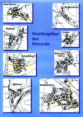
Treuchtlingen Districts Map
Street map of districts within the Treuchtlingen region
446 miles away

