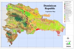
Dominican Republic Vegetation Map
Shows vegetation of Dominican Republic, 1:500,000 scale
360 miles away
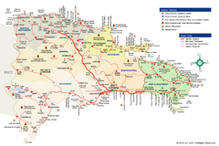
Dominican Republic Tourist Map
Overview tourist map of the Dominican Republic
361 miles away
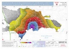
Rainfall Accumulation from Tropical Storm Noel...
From UNOSAT: "This map presents the estimated rainfall accumulation from Tropical Storm...
376 miles away
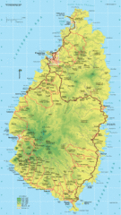
St. Lucia Island Map
High quality road and physical map of island of St. Lucia. Elevations are color-coded.
396 miles away
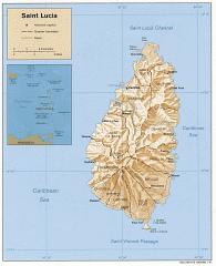
Map of Saint Lucia
Map of Saint Lucia in the Carribbean.
396 miles away
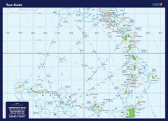
West Indies Guide Map
A map of the West Indies Islands
415 miles away
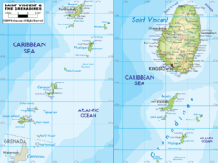
St. Vincent and the Grenadines Map
426 miles away
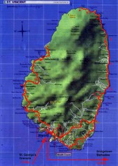
St. Vincent tourist Map
427 miles away
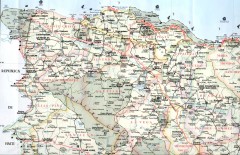
Dominican Republic North Region Road Map
Road map of the northwestern region of the Dominican Republic. Scanned.
428 miles away
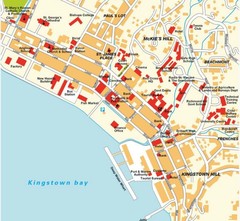
Kingstown city Map
430 miles away
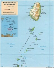
St. Vincent Map
Map of St. Vincent and the Grenadines in the Caribbean.
430 miles away
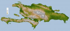
Hispaniola Topo Map
Satellite image of Hispaniola (Haiti and the Dominican Republic) color-coded by elevation.
440 miles away
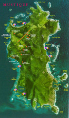
Mustique Island Map
Tourist map of private island of Mustique. Shows tourist points of interest
448 miles away
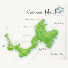
Canouan island Map
452 miles away
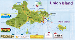
Union island tourist Map
456 miles away
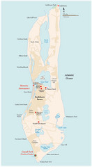
Grand Turk Island Map
Overview map of Grand Turk island, Turks and Caicos. Home of Cockburn Town, capital of Turks and...
470 miles away

Grenada physical Map
478 miles away
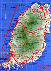
Grenada Island Road Map
479 miles away
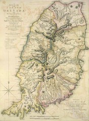
Grenada 1795 Map
480 miles away
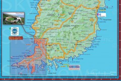
Tourist map of Grenada
Tourist map of Grenada in the Caribbean. Shows businesses and points of interest.
480 miles away

St. Georges Map
482 miles away
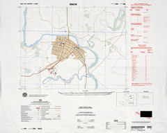
Hinche, Haiti Tourist Map
482 miles away
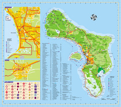
Bonaire Island Tourist Map
491 miles away
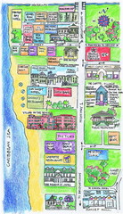
Holetown Tourist Map
Tourist map of town of Holetown
492 miles away
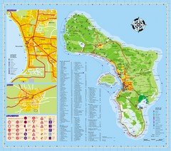
Bonaire Tourist Map
Tourist map of island of Bonaire. Shows points of interest and dive spots.
493 miles away
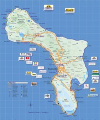
Bonaire Island Tourist Map
494 miles away
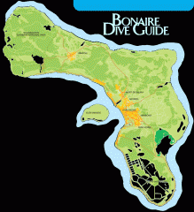
Bonaire tourist map
Tourist map of Bonaire island in the Netherland Antilles. Shows dive sites.
495 miles away

Barbados Map
496 miles away

Barbados Tourist Map
496 miles away
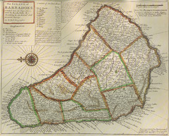
Old-time Map of Barbados
497 miles away

Barbados Map
497 miles away
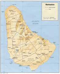
Barbados Tourist Map
497 miles away
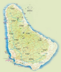
Barbados Tourist Map
Tourist map of Barbados. A bit fuzzy.
497 miles away
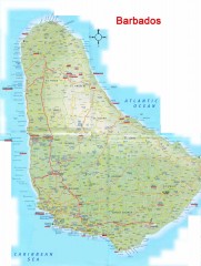
Barbados Road Map
Detailed road map of Barbados. Shows all towns. A scan of lower quality.
497 miles away
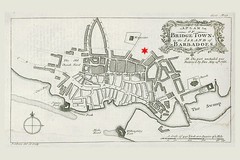
Bridgetown 1776 Map
498 miles away

Bridgetown Tourist Map
Tourist map of central Bridgetown, Barbados. Shows shops and businesses.
499 miles away

