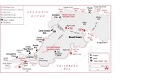
West Tortola Driving Tour Map
0 miles away
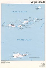
Map of the Virgin Islands
Map of the Virgin Islands
1 mile away
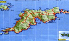
Tortola Island Map
3 miles away
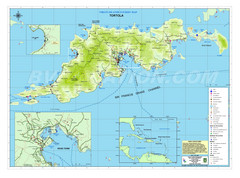
Tortola British Islands Tourist Map
Places of interest.
3 miles away
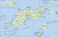
Map of Tortola Island
Tourist map of Tortola, the main island of the British Virgin Islands. Shows national parks and...
3 miles away
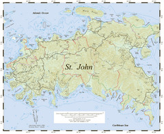
St. John Trail Map
Topographical trail map of St. John in the US Virgin Islands.
6 miles away
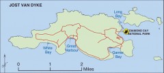
Jost Van Dyke map
Map of Jost Van Dyke island of the British Virgin Islands in the Caribbean.
6 miles away
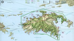
Virgin Islands National Park Tourist Map
6 miles away
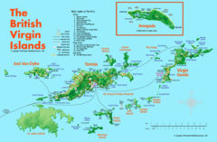
British Virgin Islands Tourist Map
Tourist map of British Virgin Islands with list of major attractions
6 miles away
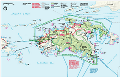
Virgin Islands National Park Map
Official NPS map of Virgin Islands National Park in the Virgin Islands. Map shows main island and...
7 miles away
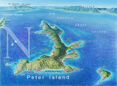
Peter Island BVI Map
8 miles away
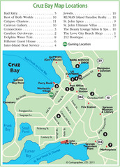
Cruz Bay St. John Map
9 miles away
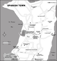
Spanish Town BVI Map
16 miles away
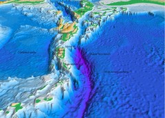
Atlantic Trench Bathymetric Map
17 miles away
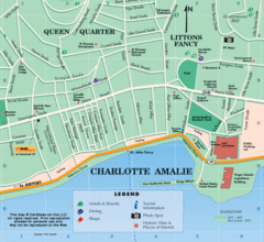
Charlotte Amalie U.S. Virgin Islands Map
17 miles away
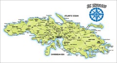
St. Thomas Island Map
Overview road map of island of St. Thomas in the U.S. Virgin Islands. Shows major roads, districts...
18 miles away
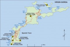
Map of Virgin Gorda
Map of Virgin Gorda in the British Virgin Islands. Shows national parks.
19 miles away

Map of Anegada
Map of Anegada island of the British Virgin Islands.
32 miles away
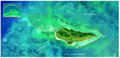
Buck Island Reef National Monument Map
Official NPS park map of Buck Island Reef National Monument off island of St. Croix in the US...
43 miles away
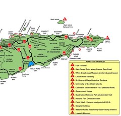
East St. Croix Map
46 miles away
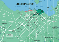
Christiansted Map
46 miles away
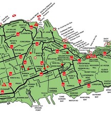
Central St. Croix Map
46 miles away
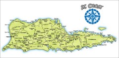
St. Croix Island Map
Overview map of island of St. Croix, US Virgin Islands. Shows districts, roads, and towns.
47 miles away
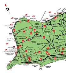
West St. Croix Map
48 miles away
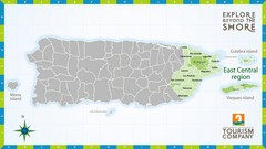
East Central Puerto Rico Map
81 miles away
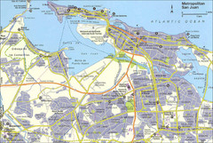
San Juan City Map
City Map of San Juan with information
93 miles away
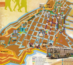
Old Town San Juan and El Morro Map
94 miles away
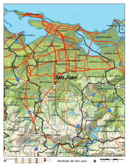
San Juan Road Map
Road map of San Juan, Puerto Rico area. Shows shaded elevation.
94 miles away
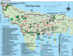
Old San Juan Tourist Map
City tourist map
94 miles away
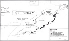
Anguilla Coral Reefs Map
Coral reef map of Anguilla Island.
106 miles away
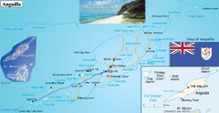
Anguilla Map
106 miles away
Anguilla Map
106 miles away
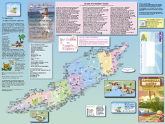
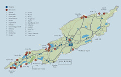
Anguilla Map
Tourist map of Anguilla Island. Shows all restaurants.
107 miles away
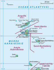
Saint Martin Map
108 miles away
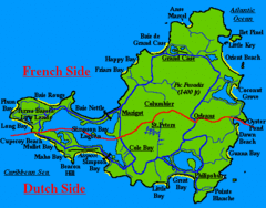
St. Maarten Beach Tourist Map
109 miles away
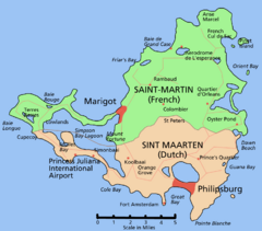
Saint Martin Map
Overview map shows entire island of Saint Martin (French) or Sint Maarten (Dutch).
109 miles away
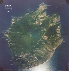
Saba aerial map
Aerial map of Saba. Shows major geological features and towns. Home of one of the world's...
109 miles away
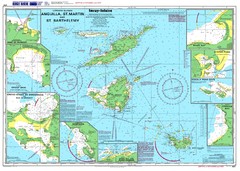
Anguilla St. Martin St. Barthelemy Nautical Map
Nautical map of Anguilla St. Martin St. Barthelemy. Shows insets of major ports.
112 miles away
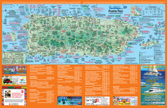
Puerto Rico Tourist Map
Map of island with detail of local tourist attractions
119 miles away
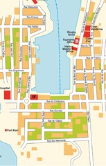
Gustavia Map
125 miles away

