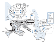
Laura S. Walker State Park Map
Map of park with detail of trails and recreation zones
374 miles away

Atlanta, Texas State Park Map
374 miles away

Atlanta, Texas Park Facility and Trail Map
374 miles away

University of Georgia and Surrounding Area Map
375 miles away
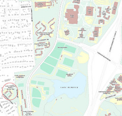
Brandon Town Map
Town of Brandon and University of Georgia Campus
376 miles away

Athens, Georgia City Map
377 miles away
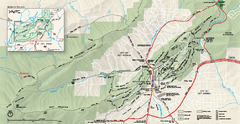
Hot Springs National Park map
Official NPS map of Hot Springs National Park in Hot Springs, Arkansas.
377 miles away
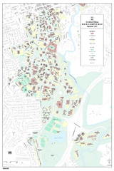
University of Georgia Map
Campus map of the University of Georgia. All buildings shown.
377 miles away
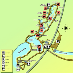
Homosassa Springs Wildlife State Park map
Map of park with detail of trails and recreation zones
377 miles away
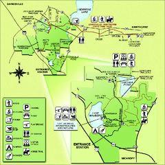
Paynes Prairie State Preserve Map
Map of preserve with detail of trails and recreation zones
377 miles away

Arkansas International Airport Map
377 miles away

Athens Airport Lines Map
379 miles away
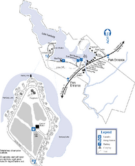
Hamburg State Park Map
Map of park with detail of trails and recreation zones
379 miles away
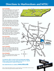
Middle Tennessee State University Map
Middle Tennessee State University Campus Map. All buildings shown.
379 miles away
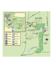
Rainbow Springs State Park Map
Map of park with detail of recreation zones
379 miles away
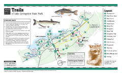
Lake Livingston, Texas State Park Trail Map
380 miles away
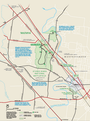
Stones River National Battlefield Official Map
Official NPS map of Stones River National Battlefield in Virginia. 8 AM to 5 PM Daily Pedestrians...
381 miles away
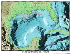
Gulf of Mexico sea floor Map
382 miles away
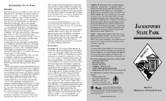
Jacksonport State Park Map
Map of Jacksonport State Park showing historical sites, trails, amenities and river access.
382 miles away

Citrus County, Florida Map
Tourist map of Citrus County, Florida. Shows parks, trails, museums, and other points of interest.
383 miles away
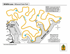
Millwood State Park Trail Map
Map of Millwood State Park showing the Wildlife Lane Trail.
384 miles away
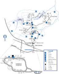
A. H. Stephens Historic Park Map
Map of park with detail of trails and recreation zones
385 miles away
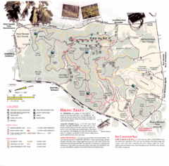
Percy Warner Park Map
385 miles away
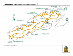
Lake Ouachita State Park Trail Map
Map of Caddo Bend Trail in Lake Ouachita State Park.
385 miles away
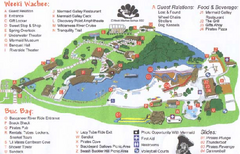
Weeki Wachee Springs State Park Map
Map of park
385 miles away
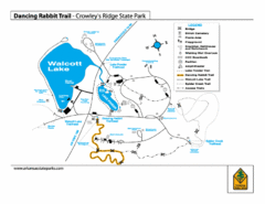
Dancing Rabbit Trail - Crowley's Ridge State...
Trail Map for Dancing Rabbit Trail in Crowley's Ridge State Park showing Walcott Lake, hiking...
387 miles away
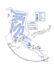
Gordonia-Alatamaha State Park Map
Map of park with detail of trails and recreation zones
389 miles away
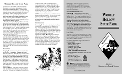
Woolly Hollow State Park Map
Map of Woolly Hollow State Park showing hiking trails and park amenities.
389 miles away
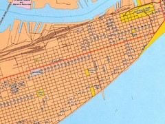
Galveston City Map
Street map of Galveston
390 miles away

Nashville Zoo Map
390 miles away
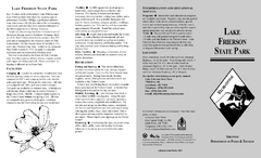
Lake Frierson State Park Map
Map of Lake Frierson State Park showing trails, boating and fishing areas and amenities.
391 miles away

Midtown Nashville and West End Map
394 miles away
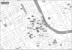
Downtown Nashville, TN Tourist Map
394 miles away
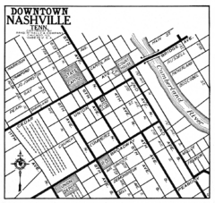
Downtown Nashville, TN Tourist Map
394 miles away
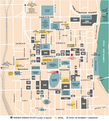
Nashville, TN Tourist Map
394 miles away
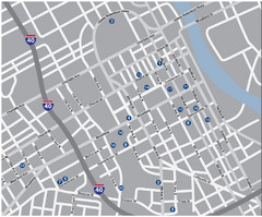
Nashville, TN Tourist Map
394 miles away
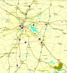
Nashville, TN Tourist Map
394 miles away
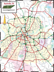
Nashville Road Map
Shows roads and major streets in Nashville, TN area
394 miles away
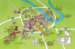
Nashville, TN Tourist Map
394 miles away
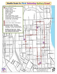
Nashville First Saturday Gallery Crawl Shuttle...
394 miles away

