
University of Tennessee Map
Campus map
356 miles away
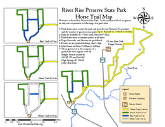
River Rise Preserve State Park Horse Trail Map
Map of horse trails throughout preserve
357 miles away
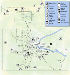
OLeno State Park Map
Map of park with detail of trails and recreation zones
357 miles away
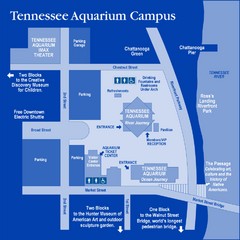
Tennessee Aquarium Campus Map
Map of Tennessee Aquarium Campus includes location of all buildings, bathrooms, parking, and...
357 miles away
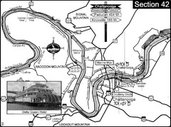
Chattanooga, TN Tennessee River Map
For boating navigational information and river road travel along the Tennessee River.
357 miles away
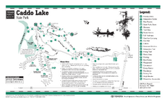
Caddo Lake, Texas State Park Facility and Trail...
358 miles away
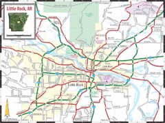
Little Rock, Arkansas City Map
358 miles away
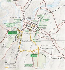
Chattanooga Guide Map
359 miles away
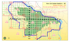
Little Rock City Map
City map of Little Rock, Arkansas with section designations
359 miles away
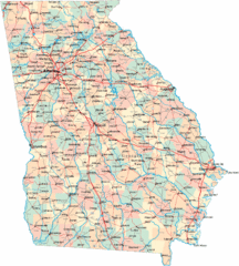
Georgia Road Map
Detailed, colorful road map of the state of Georgia.
359 miles away
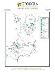
Fort Mountain State Park Map
Map of park with detail of trails and recreation zones
360 miles away
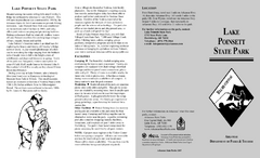
Lake Poinsett State Park Map
Map of Lake Poinsett State Park showing Great Blue Heron Trail , boat ramps and park amenities.
361 miles away
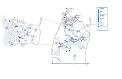
Fort Yargo State Park map
Detailed recreation and camping map for Fort Yargo State Park in Georgia
361 miles away
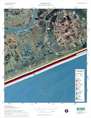
High Island Map
361 miles away
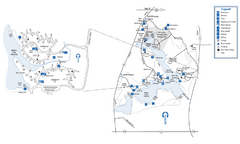
Fort Yargo State Park Map
Map of park with detail of trails and recreation zones
361 miles away
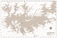
Pirate Map of Lake Sidney Lanier
Retro look pirate's map of Lake Sidney Lanier near Atlanta, Georgia
362 miles away
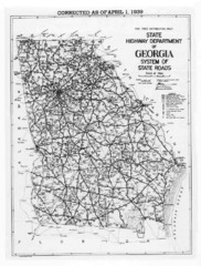
Georgia 1939 Road Map
State Road Map of Georgia in 1939
362 miles away
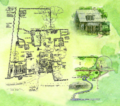
Dudley Farm Historic State Park Map
Map of park with detail of historical monuments
362 miles away
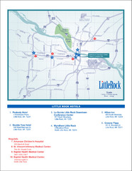
Little Rock Map
362 miles away

Lake Oconee Map
363 miles away
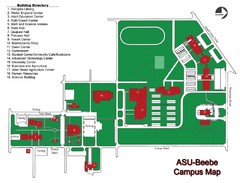
Arkansas State University-Beebe Campus Map
Campus map of Arkansas State University's Beebe campus.
364 miles away
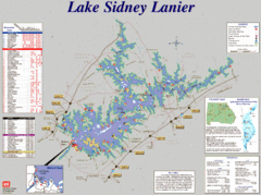
Lake Sidney Lanier Recreation Map
Recreation map of Lake Sidney Lanier in Georgia. Shows campgrounds, day use parks, marinas, and...
365 miles away
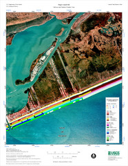
High Island Map
Coastal classification map of High Island
366 miles away
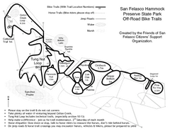
San Felasco Hammock Preserve State Park Bike...
Map of bike trails throughout preserve
367 miles away
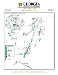
Amicalola Falls State Park Map
Map of park with detail of trails and recreation zones
367 miles away
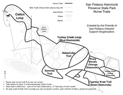
San Felasco Hammock Preserve State Park Horse...
Map of horse trails throughout preserve
367 miles away
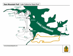
Lake Catherine State Park Trails Map
Hiking Trail map for Lake Catherine State Park also showing overview of the lake and park...
367 miles away
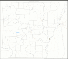
Arkansas Zip Code Map
Check out this Zip code map and every other state and county zip code map zipcodeguy.com.
370 miles away
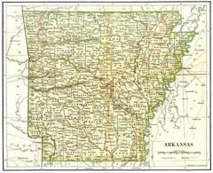
Old Arkansas Map
Old 1892 historical map in great condition.
370 miles away
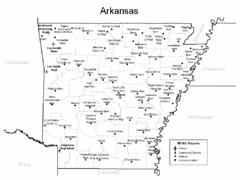
Arkansas Airports Map
370 miles away
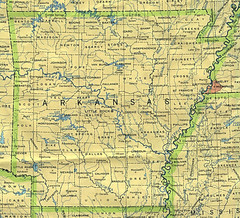
Arkansas County Map
Arkansas divided into counties
370 miles away
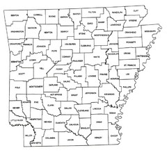
Arkansas Historical County Map
Historical County Map of Arkansas from 1936
370 miles away
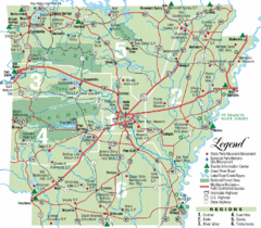
Arkansas State Park Map
Map highlights Arkansas State Parks and tourist areas including towns and major roads.
370 miles away

Stephen F. Austin State University Campus Map
Campus map of Stephen F. Austin University (SFASU) in Nacogdoches, TX
370 miles away
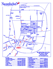
Nacogdoches, Texas Map
Tourist map of Nacogdoches, Texas, showing lodging, visitor's center, theaters, and other...
370 miles away
Pinnacle Mountain State Park Map
Map of the Pinnacle Mountain State Park including trails, park sites and amenities.
371 miles away
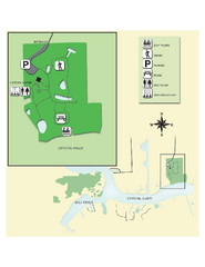
Crystal River Archeological State Park Map
Map of park with detail of trails and recreation zones
372 miles away
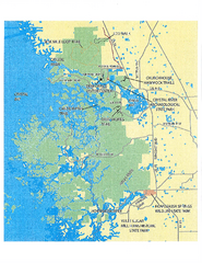
Crystal River Preserve State Park Map
Map of park with detail of recreation zones
372 miles away

University of Florida Map
374 miles away
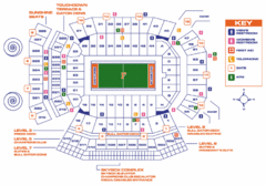
Ben Hill Griffin Stadium Map
Clear map and legend of this stadium.
374 miles away

