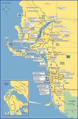
Fort Meyers tourist map
Tourist map of Fort Meyers, Florida. Shows businesses and points of interest.
489 miles away
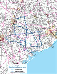
Texas Map
Includes the major roads surrounding Austin, Houston and San Antonio to travel during storms.
489 miles away
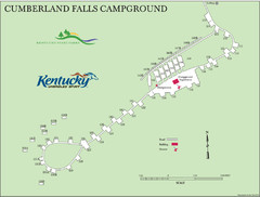
Cumberland Falls Map
489 miles away
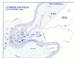
Cumberland Falls State Resort Park Map
Cumberland Falls Park Area Map
490 miles away
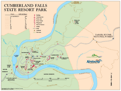
Cumberland Falls State Resort Park map
Detailed recreation map for Cumberland Falls State Resort Park in Kentucky
490 miles away
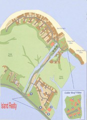
Harbor Island Real Estate Map
490 miles away
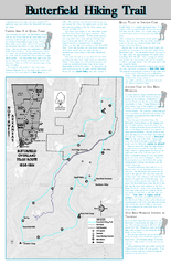
Butterfield Hiking Trail - Devil's Den State...
Butterfield Hiking Trail in Devil's Den State Park detail trail and special points of interest.
491 miles away
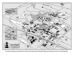
Southern Illinois University Carbondale Map
Campus Map of the Southern Illinois University Carbondale. All buildings shown.
491 miles away
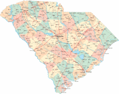
South Carolina Road Map
South Carolina state road map
491 miles away
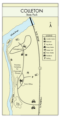
Colleton State Park Map
Detailed map and map legend of this beautiful state park.
492 miles away
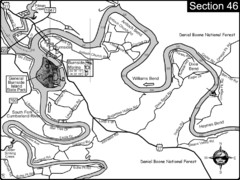
Burnside, KY-Cumberland River Map
Burnside, Kentucky is located at the fork of the Cumberland River and the South Fork. This is...
493 miles away
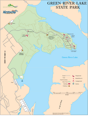
Green River Lake State Park Map
Map of trails and facilities in Green River Lake State Park.
493 miles away
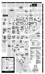
University of South Carolina - Columbia Map
Campus map of The University of South Carolina at Columbia. All area's shown.
493 miles away
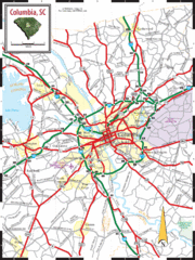
Columbia, South Carolina City Map
494 miles away
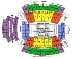
Williams Brice seating map
494 miles away
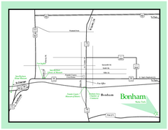
Bonham, Texas State Park Map
494 miles away
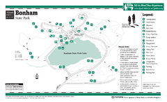
Bonham, Texas State Park Trail Map
494 miles away
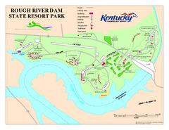
Rough River Dam State Resort Park Map
Map of trails, facilities and golf course in Rough River Dam State Resort Park.
495 miles away
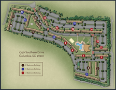
woodlands of Columbia map
495 miles away

Baseball Spring Training in Souther Florida Map
Guide 2009 Baseball Spring Training in Florida
495 miles away
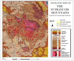
St. Francois Mountains Geologic Map
Map displaying the geology of the St. Francois Mountains in Missouri. Taken from the 1979 "...
495 miles away
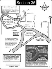
Mount Vernon, IN Wabash River & Ohio River Map
This is a page from the Wabash River Guidebook. The map shows important information for boaters and...
495 miles away
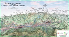
Black Mountain Panorama map
Panoramic map of the Black Mountain, NC and Swannanoa River Valley. Shows all mountains with...
496 miles away
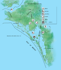
Estero Bay Preserve State Park Map
Map of park with detail of trails and recreation zones
496 miles away
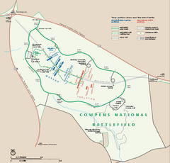
Cowpens National Battlefield Official Map
Official NPS map of Cowpens National Battlefield in South Carolina. Open 9:00 a.m. - 5:00 p.m...
497 miles away
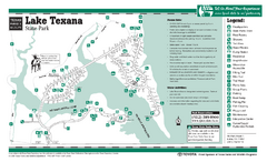
Lake Texana, Texas State Park Facility and Trail...
497 miles away
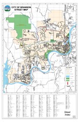
Branson Street Map
Street map of Branson, Missouri. With street index.
497 miles away
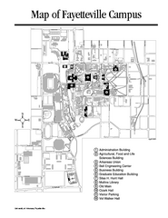
University of Arkansas Map
Campus Map of the University of Arkansas. All buildings shown.
497 miles away
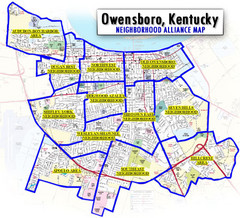
Owensboro, Kentucky City Map
498 miles away
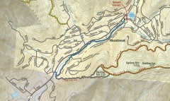
Montreat trail map
Detailed guide to the trail system surrounding the village of Montreat, NC.
498 miles away
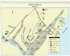
Edisto Beach State Park Map
Clearly labeled map of this beautiful state park.
499 miles away
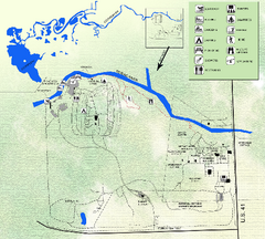
Koreshan State Historic Site Map
Map of park with detail of trails and recreation zones
499 miles away

Space Coast, Florida Map
Tourist map of Florida's Space Coast. Shows Kennedy Space Center, Cape Canaveral Air Station...
500 miles away
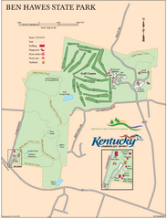
Ben Hawes State Park Map
Map of trails, facilities and golf course in Ben Hawes State Park.
500 miles away
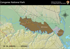
Congaree National Park Official Park Map
Official NPS map of Congaree National Park. Map shows all areas. Congaree National Park is open...
501 miles away

Cocoa Beach Tourist Map
501 miles away
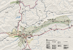
Cumberland Gap National Historical Park Official...
Official NPS map of Cumberland Gap National Historical Park in Virginia-Tennessee-Kentucky. Map...
501 miles away
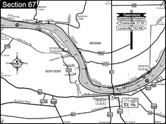
Ohio River at Owensboro, Kentucky Map
This is a page from the Ohio River Guidebook. The map shows important information for boaters and...
501 miles away
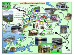
Eureka Springs West Tourist Map
Tourist map of Eureka Springs West on Beaver Lake in Eureka Springs, Arkansas. Shows points of...
502 miles away


