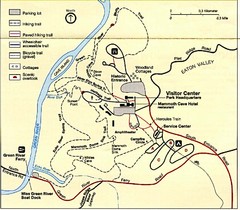
Bull Shoals-White River State Park map
Detailed recreation map for Bull Shoals-White River State Park in Arkansas
462 miles away
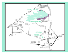
Cooper Lake, Texas State Park Map
463 miles away
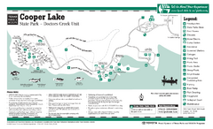
Cooper Lake (Doctors Creek Unit", Texas...
463 miles away
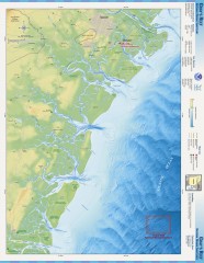
Gray's Reef National Marine Sanctuary Map
Gray's Reef National Marine Sanctuary , designated in January 1981, is one of the largest near...
463 miles away
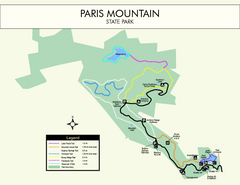
Paris Mountain State Park Map
Clearly labeled map of this beautiful state park.
463 miles away

Waynesville and Lake Junaluska Panoramic Map
Panoramic Map taking in Waynesville, Lake Junaluska and the Richland Creek watershed in Haywood...
464 miles away

The Reserve Shaded Relief Map
This map is a shaded relief property map of The Reserve in North Carolina with survey boundaries...
464 miles away
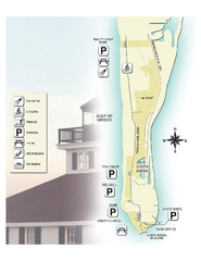
Gasparilla Island State Park Map
Map of park with detail of trails and recreation zones
465 miles away
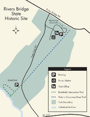
Rivers Bridge State Park Map
Nice and clear map of this history state park.
465 miles away
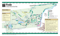
Brazos Bend, Texas State Park Trail Map
466 miles away

Bull Shoals White River State Park Map
Lake Map of Bull Shoals White River State Park
466 miles away
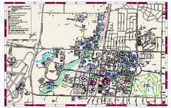
Texas A & M University Map
campus map of Texas A & M University. All buildings shown.
466 miles away
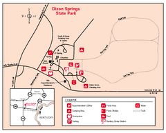
Dixon Springs State Park, Illinois Site Map
466 miles away

Central Kentucky Trail Map
466 miles away
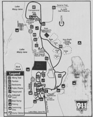
Moss Park Map
467 miles away
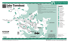
Lake Tawakoni, Texas State Park Facility and...
467 miles away
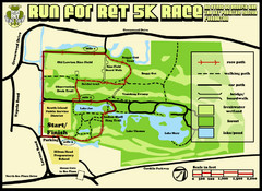
Hilton Head Run for Ret 5K Race Course Map
Hilton Head Island Run for Ret 5K Race Course, Aug 30, 2008.
467 miles away
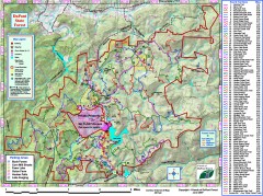
DuPont State Forest Trail map
Trail map of DuPont State Forest. Shows all trails with mileages. From dupontforest.com: "...
467 miles away
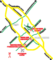
Bryan, Texas Map
468 miles away
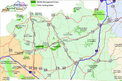
Green River Area Hunting Map
Map marking highways, forests, parks and hunting zones in Kentucky's beautiful Green River...
468 miles away

Bryan and College Station, Texas Map
Tourist maps of Bryan and College Station, Texas. First map shows accommodations, museums, and...
468 miles away
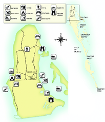
Cayo Costa State Park Map
Map of park with detail of trails and recreation zones
468 miles away
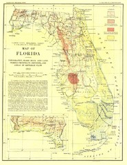
Topography of Florida Map
Topographic map of Florida that was developed in 1913. It shows the elevation changes that are...
469 miles away
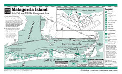
Matagorda, Texas State Park Facility and Trail Map
469 miles away
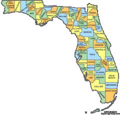
Florida Counties Map
469 miles away
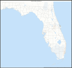
Florida Zip Code Map
Check out this Zip code map and every other state and county zip code map zipcodeguy.com.
469 miles away
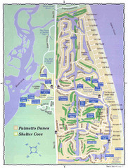
Palmetto Dunes Map
470 miles away
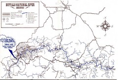
Buffalo National River Guide Map
470 miles away
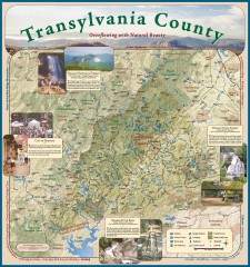
Transylvania County Tourism Development Map
Transylvania County tourist map, showing all points of interest including hiking and picnic areas.
471 miles away
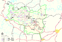
Mammoth Cave National Park Official Park Map
Official NPS map of Mammoth Cave National Park in Kentucky. Most of the park's resources and...
472 miles away
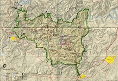
Mammoth Cave National Park Map
Visitor Center Area Map and Park Map. Topographical map that shows parameters of the park as well...
473 miles away
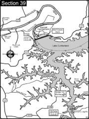
Lake Cumberland-Cumberland River Map
Lake Cumberland is formed by a dam on the Cumberland River in Section 39 of the Cumberland River...
473 miles away
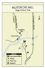
Musgrove Mill State Park Map
Clearly marked state park map.
473 miles away
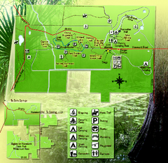
Highlands Hammock State Park Map
474 miles away
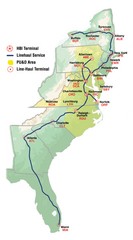
Linehaul Service Area Map
Service Area Map of Linehaul Surface Transportation
475 miles away
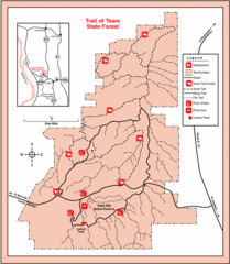
Trail of Tears State Park, Illinois Map
475 miles away
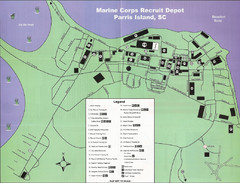
Parris Island Marine Corps Recruit Depot Map
Map of the Parris Island Marine Corps Recruit Depot near Beaufort, South Carolina. Shows...
475 miles away
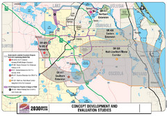
Orlando County Map
475 miles away
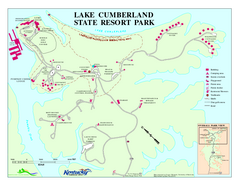
Lake Cumberland State Resort Park Map
Map of trails and facilities for Lake Cumberland State Resort Park.
475 miles away

