
Knoxville, Tennessee City Map
453 miles away
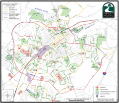
Bowling Green Biking Map
Map of biking trails in the city of Bowling Green area. Includes all streets, parks, some buildings...
453 miles away
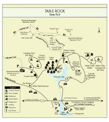
Table Rock State Park MAP
Clear and simple state park map and legend.
453 miles away
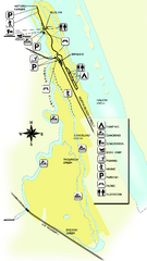
Tomoka State Park Map
Map of park with detail of recreation zones
453 miles away
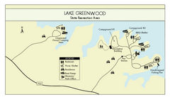
Lake Greenwood State Park Map
Clearly marked state park map on a beautiful waterfront.
453 miles away
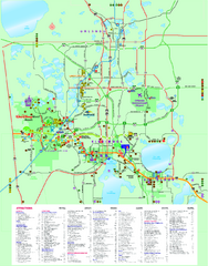
Popular Attractions in Kissimmee, Florida Map
Map of various attractions near Kissimmee, Florida. Shops, theme parks, golf courses and other...
454 miles away
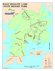
Dale Hollow Lake State Park Map
Map of trails and facilities of Dale Hollow Lake State Park.
454 miles away
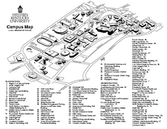
Western Kentucky University Map
Western Kentucky University Campus Map. All buildings shown
454 miles away
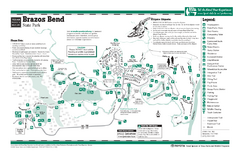
Brazos Bend, Texas State Park Facility Map
455 miles away
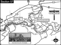
Knoxville, TN Tennessee River/Holston River...
This is the source of the Tennessee River at the confluence of the Holston River and French Broad...
455 miles away
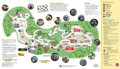
Knoxville Zoo Map
456 miles away
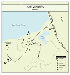
Lake Warren State Park Map
Clearly marked state park map.
456 miles away
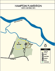
Hampton Plantation State Park Map
Clear and easy to read map.
456 miles away
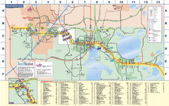
Travel Accommodations in Kissimmee, Florida Map
Map of accommodations in and around Kissimmee, Florida. Shows visitors centers, Disney World, and...
457 miles away
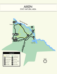
Aiken State Park Map
Small and simple state park map.
457 miles away
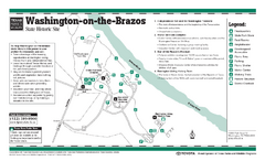
Washington-on-the-Brazos, Texas State Park...
457 miles away
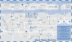
Dayton Beach Map
Map of greater Dayton Beach area
457 miles away
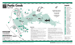
Purtis Creek, Texas State Park Facility and Trail...
457 miles away
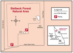
Sielbeck Forest, Illinois Site Map
458 miles away
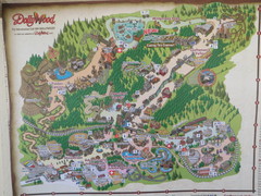
Dollywood Park Map
458 miles away

MOAS Museum Map
458 miles away
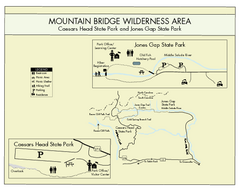
Mountain Bridge Wilderness Area Map
Map and legend marking bathrooms, picnic sites, trails and more.
458 miles away
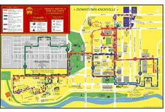
Knoxville, TN Tourist Map
458 miles away
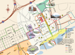
Knoxville, TN Tourist Map
458 miles away
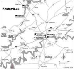
Knoxville, TN Tourist Map
458 miles away
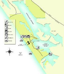
Don Pedro Island State Park Map
Map of park with detail of trails and recreation zones
458 miles away
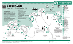
Cooper Lake "South Sulphur Unit", Texas...
458 miles away
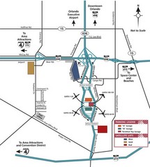
Orlando Airport Area Map
459 miles away
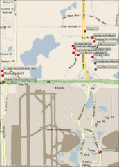
Orlando Airport Hotels Map
459 miles away
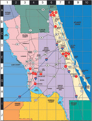
Western Florida County Map
Counties in Western Florida
459 miles away
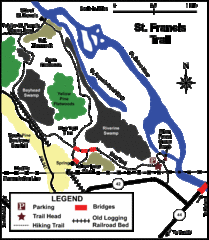
St. Francis Trail Map
The trail is located in Volusia county, about a mile from Deland. It is about an hour from Ocala.
459 miles away
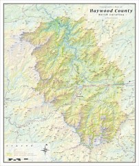
Haywood County Topographical Map
This topographic wall map of Haywood County emphasizes the rugged mountain terrain and natural...
459 miles away
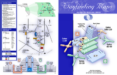
Orlando International Airport Map
Official Map of Orlando International Airport. Shows all terminals and airlines.
459 miles away
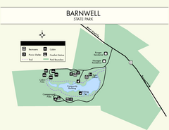
Barnwell State Park Map
Simple map of this state park.
461 miles away
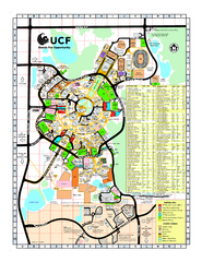
University of Central Florida Map
461 miles away
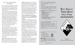
Bull Shoals White River State Park Detail Map
Bull Shoals - White River State Park Area Map including amenities.
461 miles away

Map of Southern Blue Ridge Escarpment
Map of the Nature Conservancy's Southern Blue Ridge Escarpment project area showing protected...
461 miles away

Panoramic View of the Reserve Map
Panoramic map of the view northeast from 'Gladiola Ridge' in Brevard, North Carolina.
461 miles away
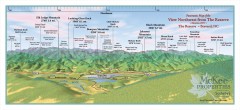
Northwest Reserve Panorama Map
Panoramic Map of the view Northwest from the Reserve in Brevard, North Carolina.
461 miles away
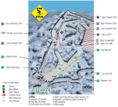
Cataloochee Ski Area Ski Trail Map
Trail map from Cataloochee Ski Area.
462 miles away

