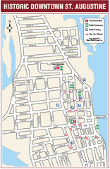
Downtown St. Augustine, Florida Map
Tourist map of historic downtown St. Augustine, Florida. Shows visitor information, restrooms, and...
432 miles away
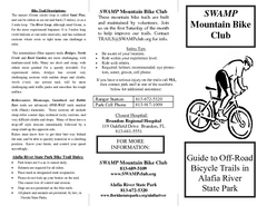
Alafia River State Park Bike Trail Map
Map of park with detail of various bike trails throughout
433 miles away
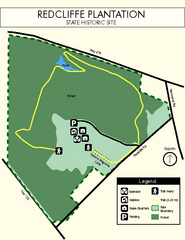
Redcliffe Plantation State Park Map
Clear map of this wonderful state park with a beautiful natural setting.
433 miles away
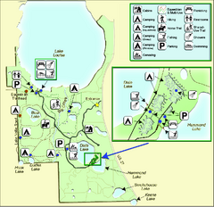
Lake Louisa State Park Map
Map of park with detail of trails and recreation zones
433 miles away
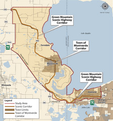
Montverde Highway Map
434 miles away
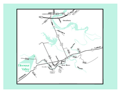
Dinosaur Valley, Texas State Park Map
434 miles away
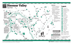
Dinosaur Valley, Texas State Park Facility and...
434 miles away
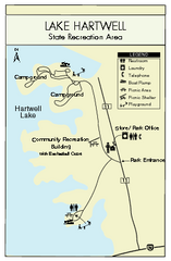
Lake Hartwell State Park Map
Clear state park map.
435 miles away
Cane Creek State Park Map
Cane Creek State Park Detail Map showing amenities, camp sites, and lake.
436 miles away
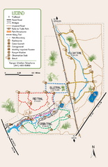
Oscar Scherer State Park Trail Map
Map of park with detail of hiking trails throughout
437 miles away
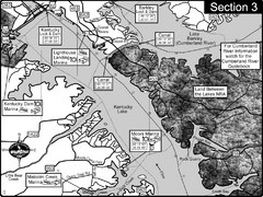
Kentucky Lake Tennesssee River-Land Between the...
This is the upper end of Kentucky Lake which is the Tennessee River. The map is designed for...
437 miles away
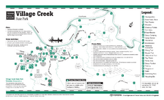
Village Creek, Texas State Park Facility and...
438 miles away
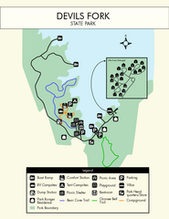
Devils Fork State Park Map
Clearly marked state park map.
439 miles away
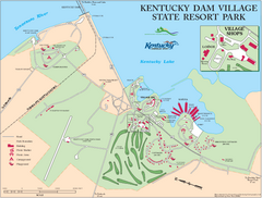
Kentucky Dam Village State Resort Park Map
Map of golf course and facilities for Kentucky Dam Village State Resort Park, one of three state...
439 miles away

Winter Garden Merchant's Guild Map
Map of downtown Winter Garden Merchant's Guild
440 miles away

Sassafras Ridge Panorama Map
Panoramic view from Sassafras Ridge near Cashiers, North Carolina.
440 miles away
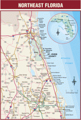
Northeast Florida Road map
A complete road map of the Northeast section of the state of Florida.
440 miles away

Fort McAllister Historic Park Map
Map of park with detail of trails and recreation zones
440 miles away
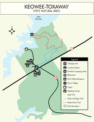
Keowee Toxaway State Park Map
Clear and detailed map of this wonderful state park.
440 miles away
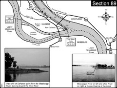
Ohio River at Cairo, IL and the Mississippi River...
The Ohio River ends at it's confluence with the Mississippi River at mile 981. This is a page...
441 miles away
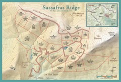
Sassafras Ridge Shaded Relief Map
This map is a shaded relief property map with survey boundaries and property roads. The map...
441 miles away
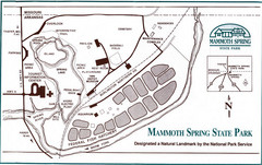
Mammoth Spring State Park Map
441 miles away
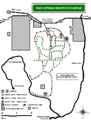
Rock Springs Run State Reserve Trail Map
Map of various trails throughout reserve
441 miles away
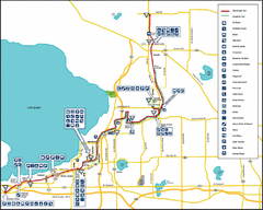
West Orange Trail Map
Trail map from Oakland to Apopka
442 miles away
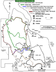
Wekiwa Springs State Park Trail Map
Trail map of park
442 miles away
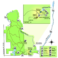
Wekiwa Springs State Park Map
Map of park with detail of trails and recreation zones
442 miles away
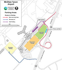
McGhee Tyson Airport Map
442 miles away
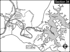
Celina, TN Dale Hollow Lake-Cumberland River Map
Celina Tennessee is the location for the head of navigation for the Cumberland River at the fork of...
444 miles away
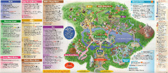
Discovery Island in Disney World Guide Map
Oasis, Discovery Island, Camp Minnie-Mickey, Rafiki's Planet Watch, DinoLand U.S.A.
444 miles away
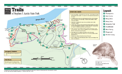
Stephen F. Austin, Texas State Park Trail Map
444 miles away
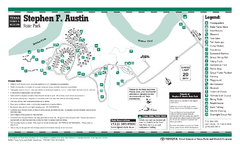
Stephen F. Austin, Texas State Park Facility Map
444 miles away
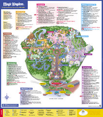
Disney's Magic Kingdom Map
Magic Kingdom Map.
444 miles away

Magic Kingdom Guide Map
444 miles away
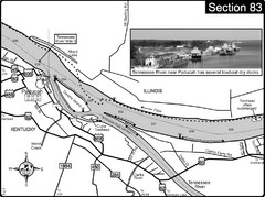
Ohio River & Tennessee River at Paducah, KY...
This is a page from the Ohio River Guidebook. The map shows important information for boaters and...
444 miles away
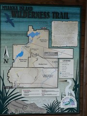
Myakka Island Trail Map
Trail map of Myakka Island. From photo.
444 miles away
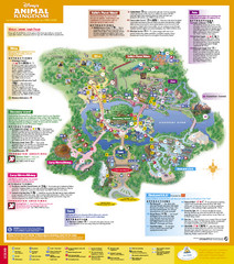
Disney's Animal Kingdom Map
Animal Kingdom Map.
445 miles away
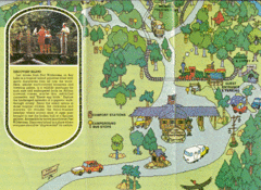
Walt Disney World Resort Fort Wilderness Guide...
Walt Disney World Resort Fort Wilderness Guide Bottom Half of Map
445 miles away
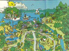
Walt Disney World Resort Fort Wilderness Map
1978 Fort Wilderness Resort Guide Top Half of Map
445 miles away

Disney World's Magic Kingdom Guide Map
445 miles away
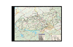
Great Smoky Mountains National Park - Trail map
Official trail map of Great Smoky Mountains National park. Shows all trails, park roads, visitor...
445 miles away

