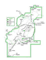
Black Rock State Park map
Detailed recreation map for Black Rock State Park in Georgia
418 miles away
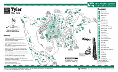
Tyler, Texas State Park Facility and Trail Map
418 miles away
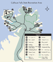
Calhoun Falls State Park Map
Clear map and detailed legend help make this map easy to read and follow.
418 miles away
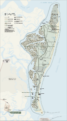
Cumberland Island National Seashore Map
Official NPS map of Cumberland Island National Seashore, Cumberland Island, Georgia. Rated #4...
418 miles away
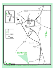
Huntsville, Texas State Park Location Map
419 miles away
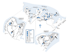
Elijah Clark State Park Map
Map of park with detail of trails and recreation zones
419 miles away
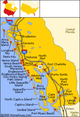
Bradenton Beach Map
Bradenton Beach and surrounding beach map.
420 miles away
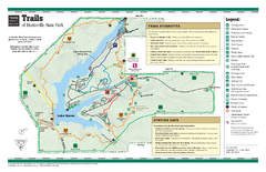
Huntsville, Texas State Park Trail Map
420 miles away
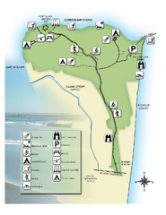
Fort Clinch State Park Map
Park map of Fort Clinch State Park in Amelia Island, Florida. Shows fort historic site, facilities...
420 miles away
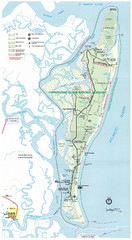
Cumberland Island Map
Map of Cumberland Island, including hiking trails and campgrounds
420 miles away
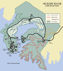
Hickory Knob State Park Map
Detailed map of this beautiful state park.
420 miles away
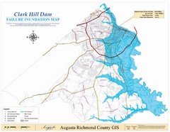
Richmond County Failure Inundation Map
Map of the flood water failure inundation of Augusta Richmond county, Georgia. Includes detailed...
420 miles away

Cossatot River State Park Map
Cossatot River State Park Natural Area - Upper Cossatot River Map showing bridges and river access...
420 miles away
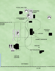
Gamble Plantation Historic State Park Map
Map of park with detail of recreation zones
420 miles away
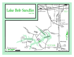
Lake Bob Sandlin, Texas State Park Map
421 miles away
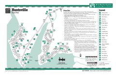
Huntsville, Texas State Park Facility Map
421 miles away
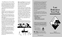
Lake Dardanelle State Park Map
Map of Lake Dardanelle State Park showing park sites, trails and amenities.
421 miles away
Mount Nebo State Park Trail Map
Trail Map of Mount Nebo State Park showing hiking trails and park amenities.
421 miles away
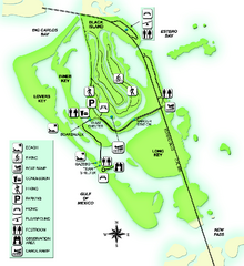
Lovers Key State Park Map
Map of park with detail of trails and recreation zones
421 miles away
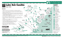
Lake Bob Sandlin, Texas State Park Facility...
421 miles away
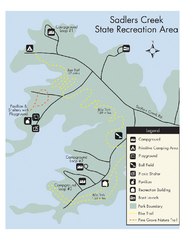
Sadlers Creek State Park Map
This simple map gives you an easy to follow layout of this amazing state park.
421 miles away
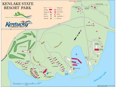
KenLake State Resort Park Map
Map of trails, facilities, and golf course for the KenLake State Resort Park located on the mid...
424 miles away
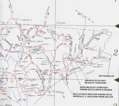
Trousdale County Muttonbluff Map
Pictured is a part of a map of Trousdale County containing the extreme northeast section. The...
424 miles away
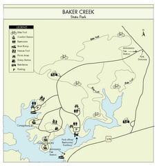
Baker Creek State Park Map
Beautiful park with wonderful views and plenty of wild life.
424 miles away
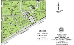
Bayland Park Map
424 miles away
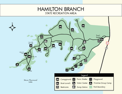
Hamilton Branch State Park Map
Simple state park map.
426 miles away
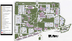
Augusta State University Map
Campus map
427 miles away
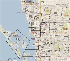
Sarasota, Florida City Map
427 miles away
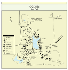
Oconee State Park Map
Beautiful state park clearly mapped with legend.
428 miles away
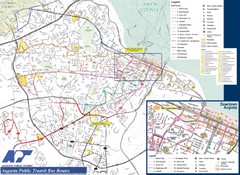
Augusta Public Transit Routes Map
Transit Route Map of the town of Augusta. Includes all streets, some important buildings, and a...
428 miles away
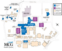
MCG Health System--Medical College of Georgia...
Color-coded map of all buildings on the Medical College of Georgia associated with the MCG Health...
428 miles away
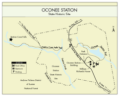
Oconee Station Map
Clear and simple map of Oconee State Park's station.
429 miles away
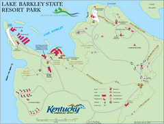
Lake Barkley State Resort Park Map
Map of the trails and facilities of Lake Barkley State Resort Park.
429 miles away
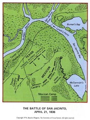
The Battle of San Jacinto, Texas Historical Map
430 miles away
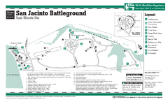
San Jacinto Battleground, Texas State Park...
430 miles away
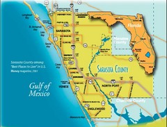
Sarasota Map
Sarasota county map and road system.
430 miles away
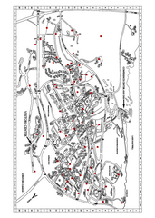
Clemson University Map
431 miles away
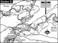
Kingston, TN Tennessee River/Clinch River/Emory...
Shows a bend on the Tennessee River at the confluence of the Clinch & Emory Rivers. For boat...
431 miles away
Mount Magazine State Park Map
Map of Mount Magazine State Park showing hiking trails and amenities.
431 miles away
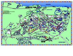
Clemson University Map
Clemson University Campus Map. All buildings shown.
432 miles away

