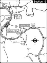
Clarksville, TN-Cumberland River Map
Cumberland River flows past Clarksville that has a great riverfront and services for traveling...
411 miles away
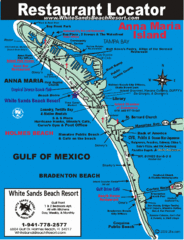
Anna Maria Island, Florida Restaurant Map
411 miles away
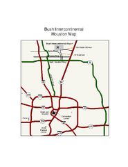
George Bush Intercontinental Airport Terminal Map
Official Terminal Map of George Bush Intercontinental Airport. Shows all areas.
411 miles away

Lake Jacksonville Congression Park Map
411 miles away
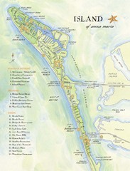
Ana Maria Island Tourist Map
411 miles away
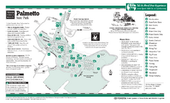
Palmetto, Texas State Park Facility and Trail Map
412 miles away
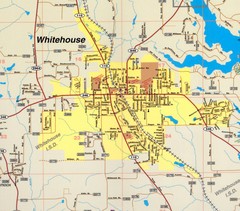
Whitehouse City Map
City map of Whitehouse, Texas
412 miles away
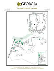
Crooked River State Park Map
Map of park with detail of trails and recreation zones
413 miles away
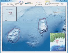
Flower Garden National Marine Sanctuary Map
Official map of the Flower Garden National Marine Sanctuary 110 miles off the coast of Texas...
414 miles away
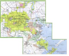
Houston Metropolitan Map
City map of the Galveston to Houston, Texas metro area
414 miles away
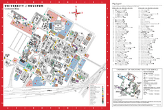
University of Houston Map
Campus Map of the University of Houston. All buildings shown.
414 miles away
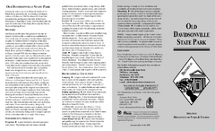
Old Davidsonville State Park Map
Map of Old Davidsonville State Park historical sites, amenites and other park sites.
414 miles away
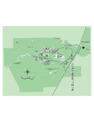
Hillsborough River State Park Map
Map of park with detail of trails and recreation zones
414 miles away

Houston Metropolitan Map
Map of Houston Metropolitan area with QTRCO highlighted
414 miles away
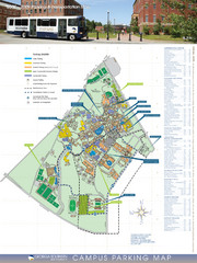
Georgia Southern University Map
Campus Map
414 miles away
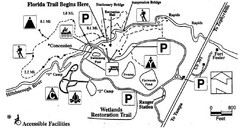
Hillsborough River State Park Map
414 miles away
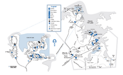
Mistletoe State Park Map
Map of park with detail of trails and recreation zones
414 miles away
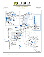
Magnolia Springs State Park Map
Map of park with detail of trails and recreation zones
414 miles away
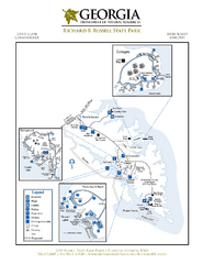
Richard B. Russell State Park Map
Map of park with detail of trails and recreation zones
415 miles away
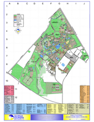
Georgia Southern University Map
Georgia Southern University Campus Map. All buildings shown.
415 miles away
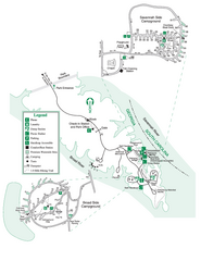
Bobby Brown State Park Map
Map of park with detail of trails and recreation zones
415 miles away
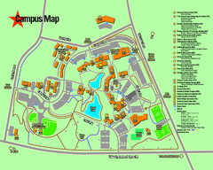
University of Texas at Tyler Map
415 miles away
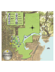
Lake Griffin State Park Map
Map of park with detail of trails and recreation zones
415 miles away
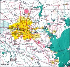
Houston City Map
415 miles away
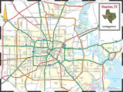
Houston, Texas City Map
415 miles away
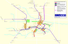
2012 Houston Metro Map
Future rail system to help you move around Houston with ease.
415 miles away
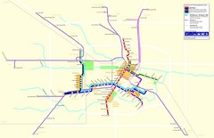
2012 Houston Transit System Map
415 miles away
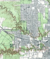
Houston Street and House level Map
Houston topo map with streets, buildings, towns
415 miles away
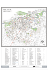
Houston Downtown Map
3D aerial map of downtown Houston, Texas. Shows skyscrapers and points of interest.
415 miles away
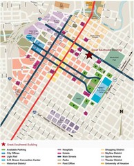
Downtown Houston Map
Street map of downtown Houston
415 miles away
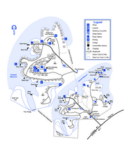
Hart State Park Map
Map of park with detail of trails and recreation zones
415 miles away
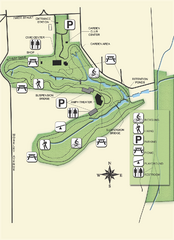
Ravine Gardens State Park Map
Map of park with detail of trails and recreation zones
416 miles away
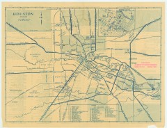
Antique map of Houston from 1935
Map of Houston, Texas from Texas State Library and Archives Commission, 1935
416 miles away
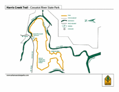
Harris Creek Trail - Cossatot River State Park Map
Harris Creek Trail Map
416 miles away
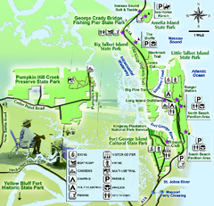
Jacksonville Area Florida State Parks Map
Overview map of Florida State Parks near Jacksonville, Florida. Shows Pumpkin Hill Creek Preserve...
417 miles away
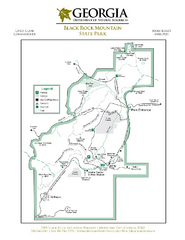
Black Rock Mountain State Park Map
Map of park with detail of trails and recreation zones
417 miles away
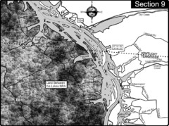
Lake Barkley-Cumberland River Map
Portion of Lake Barkley formed on the Cumberland River. In this section the state line is shown...
417 miles away
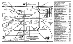
Tyler, Texas Map
Tourist map of Tyler, Texas, showing museums, amusements, lodging, and restaurants.
418 miles away
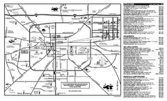
Tyler, Texas Map
Tourist map of Tyler, Texas, showing museums, amusements, lodging, and restaurants.
418 miles away
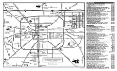
Tyler, Texas Map
Tourist map of Tyler, Texas, showing museums, amusements, lodging, and restaurants.
418 miles away

