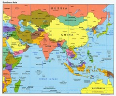
Southern Asia Map
Map of Southern Asia region
1142 miles away
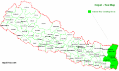
Nepal Tea Growing Regions Map
1147 miles away
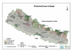
Nepal Protected Areas Map
1147 miles away
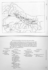
Early Geographical Locations of Vedic Schools Map
The map shows the homelands and the early spreading of the major Vedic sakhas in hte Middle and...
1147 miles away
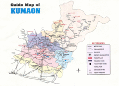
Kumaon Map
1147 miles away
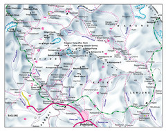
Gandaki Mountain Trail Map
Map of hiking trails for Gandaki Moutain range, Nepal.
1149 miles away

Kurigram District Map
1160 miles away
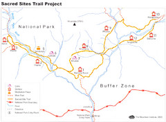
Khumbu Region Sacred Sites Trail Map
Shows the Sacred Site Trail in the Khumbu region of Nepal in Sagarmatha National Park. From the...
1172 miles away
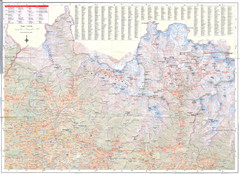
Sagarmatha National Park Map
Detailed topo map of Sagarmatha National Park in Nepal. Shows park boundary, peaks, passes...
1175 miles away

Central Asia: Major Muslim Ethnic Groups Regional...
1178 miles away
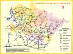
Uttarakhand Tourist Map
1186 miles away
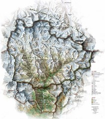
Sagarmatha National Park Map
Shows Sagarmatha National Park, Nepal and surrounding National Parks near Mt. Everest. Shows...
1188 miles away
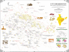
Uttarakhand Historical Map
Places of interest and historical annotations in state of Uttarakhand, India
1190 miles away
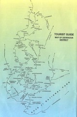
Tourist Guide of Dehradun District India Map
Hand drawn map of Dehradun District, India showing distances, roads, towns and Raja Ji National...
1197 miles away
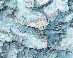
Mount Everest Map
1200 miles away
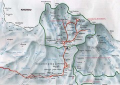
Mt. Everest Map
1200 miles away
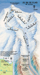
Mt Everest Rongbu Glacier Climbing Map
1200 miles away
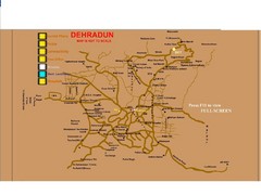
Dehradun City Map
City map of Dehradun with colleges and schools
1201 miles away
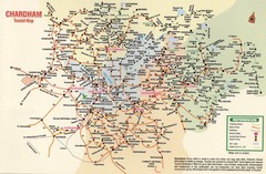
Tourist Guide Map
Tourist Guide Map of Hindu Pilgrimage Site
1211 miles away
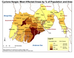
Cyclone Nargis Affected Area Map
Cyclone Nargis Vulnerability Estimates by Township
1220 miles away
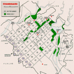
Chandigarh City Map
City map of Chandigarh
1230 miles away
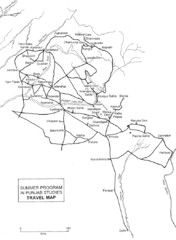
Chandigarh Map
1234 miles away

Indian Ocean Area Map
Countries highlighted were visited by Marco Polo.
1235 miles away
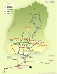
Sikkim Tourist Map
1237 miles away
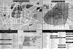
Pakbahawal Guide Map
Tourist maps of Pakistan cities Bahawalpur, Multan and Cholistan
1240 miles away
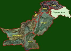
Pakistan Relief Map
Map of Pakistan showing the borders of the areas within the country and the terrain of each.
1241 miles away
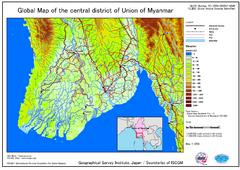
Elevation Map Central Distrisct of Union of...
The map shows topography of the Ayeyarwady (Irrawady) Delta and the Sittoung (Sittang) Delta, that...
1243 miles away
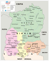
Sikkim Travel Map
Sikkim, India Travel Map with cities, roads and borders.
1245 miles away
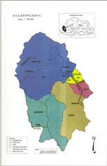
Haa Dzongkhag, Bhutan Road Map
1249 miles away
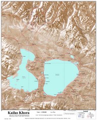
Kailash (Feng) Mountain Map
Kailash is locally more known as Kangrinboqe (Feng). It is the highest mountain in the western part...
1254 miles away
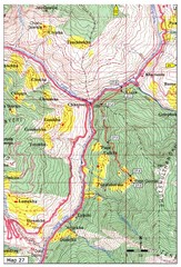
Trail to Paga Monastery Map
Trail to Paga Monastery near Chudzomtsa
1258 miles away
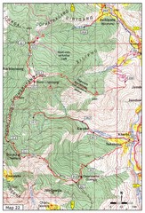
Trail to Bemri Lhakhang Map
Trail to Bemri Lhakhang south of Thimphu
1260 miles away
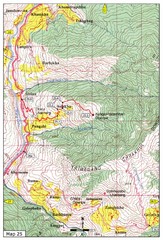
Trail from Sisina to Kunzangdechen monastery Map
Sisina to Kunzangdechen trail
1261 miles away
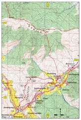
Khasadrapchu to Thimphu trail pt 1 Map
1263 miles away
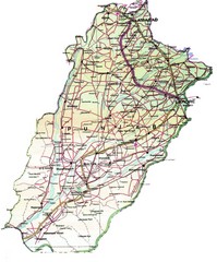
Punjab Guide Map
1265 miles away

Trail to Bimelang Lake, Thimphu Map
Bimelang Lake Trail
1266 miles away
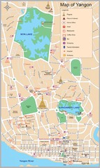
Yangon Map
1266 miles away

