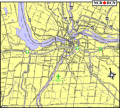
Ottawa, Ontario Tourist Map
100 miles away

Ottawa, Ontario Tourist Map
100 miles away
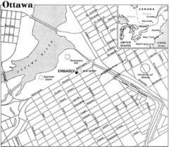
Ottawa, Ontario Tourist Map
100 miles away
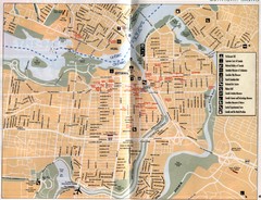
Ottawa Tourist Map
Tourist map of capital city of Ottawa, Canada. Shows tourist points of interest.
100 miles away
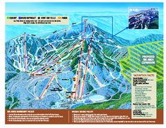
Jay Peak Ski Trail Map
Trail map from Jay Peak.
100 miles away
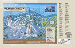
Jay Peak Ski Trail Guide Map
Official ski trail map of Jay Peak ski area from the 2006-207 season.
100 miles away
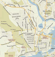
Hull, Quebec Tourist Map
101 miles away
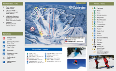
Edelweiss Valley Ski Trail Map
Trail map from Edelweiss Valley, which provides downhill skiing. This ski area has its own website.
101 miles away
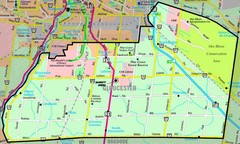
Gloucester Map
Street-map of Gloucester district
102 miles away
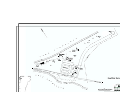
Sand Bar State Park Map
Campground map of Sand Bar State Park in Vermont
102 miles away
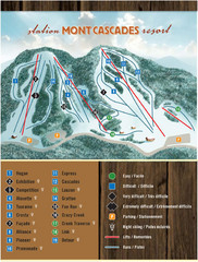
Mont Cascades Ski Trail Map
Trail map from Mont Cascades, which provides downhill skiing. This ski area has its own website.
102 miles away
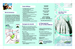
Mont-Bellevue and Nordic Ski Trail Map
Trail map from Mont-Bellevue.
103 miles away
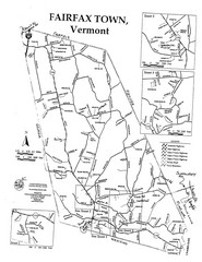
Fairfax Town Map
103 miles away
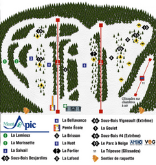
Mont Apic Ski Trail Map
Trail map from Mont Apic, which provides downhill skiing. This ski area has its own website.
104 miles away
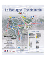
Camp Fortune Ski Trail Map
Trail map from Camp Fortune, which provides downhill skiing. This ski area has its own website.
104 miles away
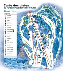
Montjoye Ski Trail Map
Trail map from Montjoye, which provides downhill skiing. This ski area has its own website.
105 miles away
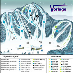
Ski Vorlage Ski Trail Map
Trail map from Ski Vorlage, which provides downhill skiing. This ski area has its own website.
105 miles away
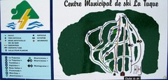
Ski La Tuque Ski Trail Map
Trail map from Ski La Tuque.
108 miles away
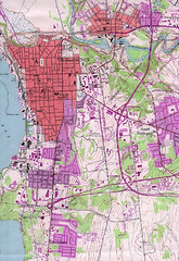
Burlington Vt 87 Map
Topographical map of the city of Burlington, Vt.
113 miles away
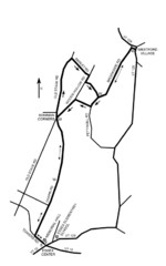
30K Race Course Map
Green Mountain Athletic Association Common to Common 30K Course Map in Essex Junction, VT
113 miles away
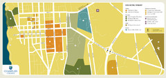
Burlington, Vermont City Tourist Map
The city of Burlington, Vermont
113 miles away
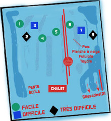
St Raymond Ski Trail Map
Trail map from St Raymond.
113 miles away
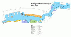
Burlington International Airport Terminal Map
Official Terminal Map of Burlington International Airport. All areas shown.
114 miles away
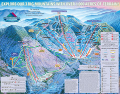
Smugglers’ Notch Resort Ski Trail Map
Trail map from Smugglers’ Notch Resort.
114 miles away
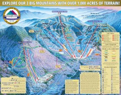
Smugglers' Notch Ski Trail map 2006-07
Official ski trail map of Smugglers' Notch (Smuggs) ski area from the 2006-2007 season.
114 miles away
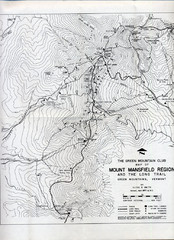
Mount Mansfield Map
Long Trail map for Green Mountains in Vermont
115 miles away
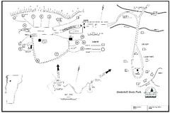
Underhill State Park Campground Map
Campground map for Underhill State Park in Vermont.
115 miles away
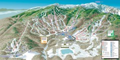
Stowe ski trail map 2006-07
Complete ski trail map of Stowe Mountain resort for 2006-2007 season.
115 miles away
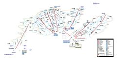
Stowe Mountain Resort Ski Trail Map
Trail map from Stowe Mountain Resort, which provides downhill, nordic, and terrain park skiing. It...
116 miles away
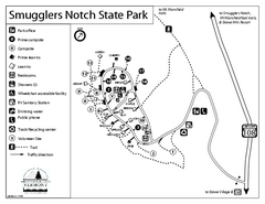
Smugglers Notch State Park Campground Map
Campground map of Smugglers Notch State Park in Vermont
116 miles away
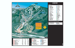
Whiteface Ski Trail Map
Official ski trail map of Whiteface 2006-2007 season.
116 miles away
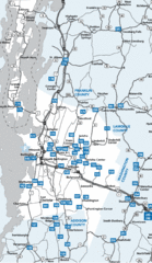
Chittenden County Map
116 miles away
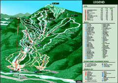
Whiteface Mountain—Lake Placid Ski Trail Map
Trail map from Whiteface Mountain—Lake Placid.
117 miles away
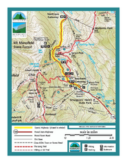
Smugglers Notch Trail Map
Trail map for Smugglers Notch State Park in Vermont
117 miles away

Olympic Scenic Byway Map
Overview map showing the length of the Olympic Scenic Byway, which runs from Lake Ontario (Sackett...
118 miles away
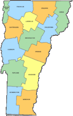
Vermont Counties Map
119 miles away
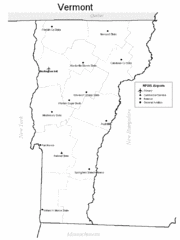
Vermont Airports Map
119 miles away
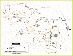
Trapp Ski Center Trail Map
Map of trails in the ski center at the Trapp Family Lodge
121 miles away
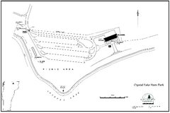
Crystal Lake State Park Map
Trail map of Crystal Lake State Park in Vermont
122 miles away
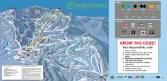
Bolton Valley Resort Ski Trail Map
Trail map from Bolton Valley Resort.
122 miles away

