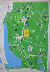
High Park Map
322 miles away
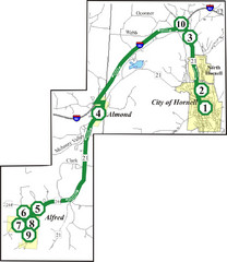
Alfred-Hornell Bus Route Map
322 miles away
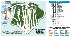
Crabbe Mountain Ski Trail Map
Official ski trail map of Crabbe Mountain ski area. 853 ft vertical, highest in New Brunswick
322 miles away
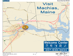
Machias, Maine, USA Map
Maine Coast Welcome Center's local Map of Machias, Me with recommended business locations.
323 miles away
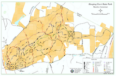
Sleeping Giant State Park map
Trail map for Sleeping Giant State Park in Connecticut.
323 miles away
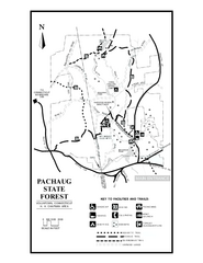
Pachaug State Forest map
Trail map of Pachaug State Forest in Connecticut.
323 miles away
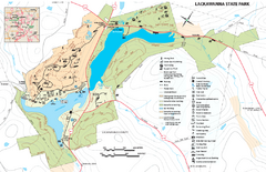
Lackawanna State Park Map
Detailed map of Lackawanna State Park in Pennsylvania.
323 miles away

Cockaponset State Forest North Section trail map
Trail map for the north section of Cockaponset State Forest in Connecticut
324 miles away
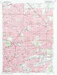
Northeast Buffalo Topo Map
1:24,000 topographic map of the northeast part of Buffalo, New York and surrounding suburbs...
324 miles away
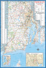
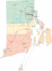
Rhode Island Road Map
Official Rhode Island state highway map. Insets show Newport and Providence.
324 miles away
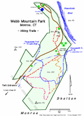
Webb Moutain Park Map
325 miles away
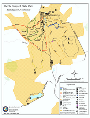
Devils Hophard State Park map
Trail and camprground map for Devils Hopyard State Park in Connecticut.
325 miles away

Humber College North Campus Parking Map
325 miles away

Humber College North Campus Map
325 miles away
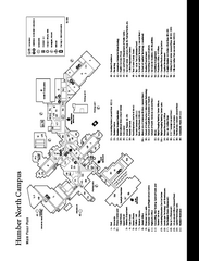
Humber College North Campus Map
Humber College North Campus Map. Shows all buildings.
325 miles away
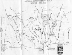
Arcadia Management Area State Map
Trail map for Arcadia Management Area in Rhode Island
325 miles away

Mt. Pisgah State Park map
Detailed recreation map for Mt Pisgah State Park in Pennsylvania
326 miles away
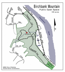
Birchbank Park Map
326 miles away
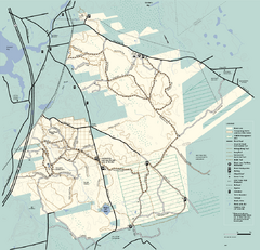
Freetown-Fall River State Forest trail map
Trail map of Freetown-Fall River State Forest in Massachusetts
326 miles away
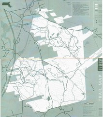
Freetown State Forest Map
Freetown State Forest Map showing mountain biking trails
326 miles away
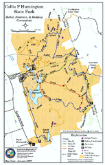
Collis P. Huntington State Park map
Trail map of Collis P. Huntington State Park in Connecticut
326 miles away
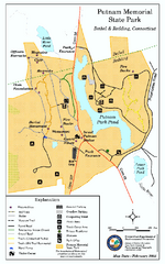
Putnam Memorial State Park map
Trail map for Putnal Memorial State Park in Connecticut,
326 miles away
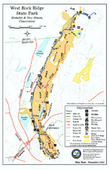
West Rock Ridge State Park map
Trail map of West Rock Ridge State Park in Connecticut.
326 miles away
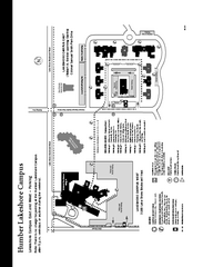
Humber College Lakeshore Campus Map
Humber College Lakeshore Campus Map. Map is of both East and West Campus. Shows all buildings.
326 miles away
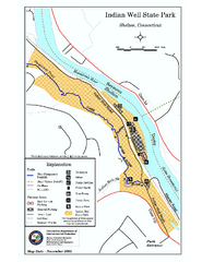
Indian Well State Park map
Trail map for Indian Well State Park in Connecticut.
326 miles away

Cockaponset State Forest South Section trail map
Trail map for the South Section of Cockaponset State Forest in Connecticut.
326 miles away
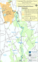
Centennial Watershed State Forest trail map
Trail map of Centennial Watershed State Forest in Connecticut
327 miles away
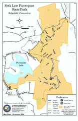
Seth Low Pierrepont State Park Reserve map
Trail map of Seth Low Pierreport State Park in Connecticut.
327 miles away
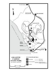
Gillette State Park trail map
Trail map of Gillette Castle State Park in Connecticut.
327 miles away
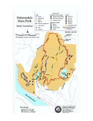
Osbornedale State Park map
Trail map of Osborndale State Park in Connecticut.
327 miles away
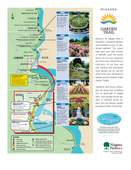
Niagara Garden Trail Map
Tourist map of attractions along the Garden Trail along the Canadian side of the St. Lawrence River...
328 miles away

Tanglwood Ski Area Ski Trail Map
Trail map from Tanglwood Ski Area, which provides downhill, night, and terrain park skiing. It has...
328 miles away
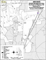
Arcadia Wildlife Management Area Map - Southeast
Reference map shows portion of Arcadia Wildlife Management Area, Rhode Island southeast of Highway...
328 miles away
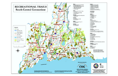
South Central Connecticut Recreational Trail Map
Map of South Central Connecticut showing all recreational trails and open spaces.
328 miles away
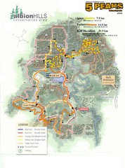
Albion Hills Running Course Map
Map shows the Enduro Course, Sport Course and Half Marathon Course for the 5 Peaks trail running...
328 miles away
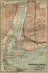
Antique map of Niagara Falls from 1894
"Niagara Falls" from Baedeker, Karl. The Dominion of Canada with Newfoundland and an...
329 miles away
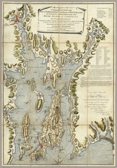
Narrangansett Bay Map 1777
"A Topographical CHART of the BAY of NARRAGANSET in the Province of NEW ENGLAND. with the...
329 miles away
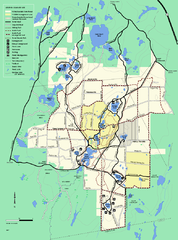
Myles Standish State Forest trail map
Summer trail map for Myles Standish State Forest.
329 miles away
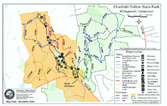
Chatfield Hollow State Park map
Trail map of Chatfield Hollow State Park
329 miles away

