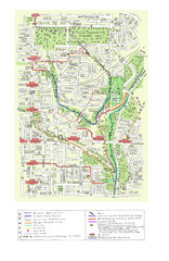
Toronto Brickworks Trail Map
Trail map of area around the Brickworks in Toronto, Canada
317 miles away
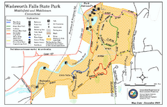
Wadsworth Falls State Park map
Trail map of Wadsworth Falls State Park in Connecticut.
317 miles away
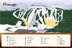
Swain Ski & Snowboard Resort Ski Trail Map
Trail map from Swain Ski & Snowboard Resort.
317 miles away
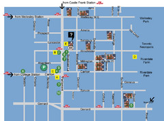
Cabbagetown Tour of Houses Map
317 miles away
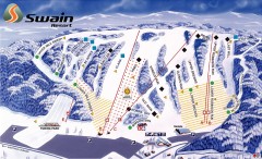
Swain Ski Trail Map
Official ski trail map of Swain Resort ski area from the 2007-2008 season.
317 miles away
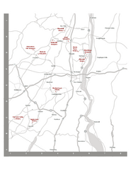
Shawangunk Wine Trail Map
Map of the Shawangunk Wine Trail on the Hudson River in New York. Shows all vineyards and wineries...
317 miles away

Salmon River State Forest trail map
Trail map for Salmon River State Forest in Connecticut.
318 miles away
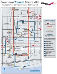
Downtown Toronto Tourist Map
318 miles away
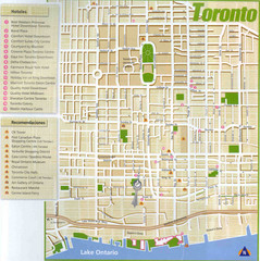
Toronto Tourist Map
318 miles away
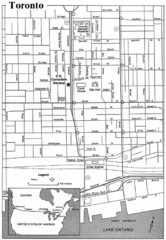
Toronto Tourist Map
318 miles away
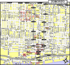
Toronto Tourist Map
318 miles away
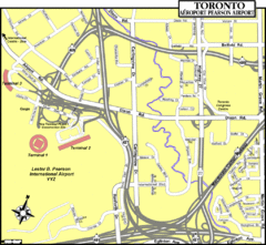
Toronto Airport Map
318 miles away
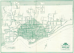
1962 Transit Toronto Guide Map
318 miles away
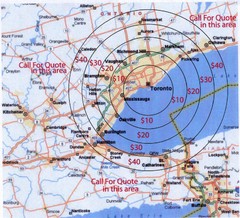
Transportation Rates in Toronto Map
Travel rates in Toronto, Canada
318 miles away
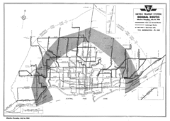
1954 Metro Transit System Map
318 miles away
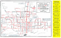
1952 Totonto Transit System Map
318 miles away
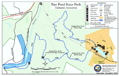
Daypond State Park map
Trail map for Day Pond State Park
318 miles away
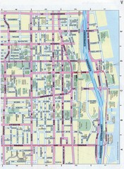
Toronto Canada Downtown Tourist Map
Tourist map for Downtown Toronto, Canada. Street leve map with tourist site highlighted. Subway...
318 miles away

Toronto Average House Prices Map
318 miles away

Toronto Subway Map
Official RT/subway map of the Toronto Transit Commission.
319 miles away
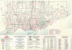
1976 Toronto City Map
Guide to transit and subway systems, points of interest and major roads
319 miles away
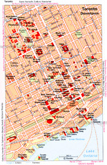
Toronto Downtown Map
319 miles away
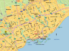
Toronto City Map
Street map of Toronto city
319 miles away
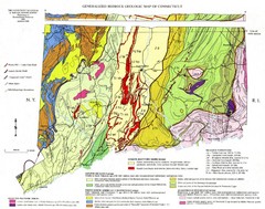
Connecticut Geologic Map
Geologic map of Connecticut bedrock. Shows shaded terranes, fault lines, and Mesozoic formations.
319 miles away
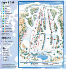
Powder Ridge Ski Area Ski Trail Map
Trail map from Powder Ridge Ski Area.
319 miles away
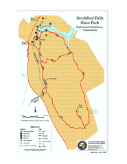
Southford Falls State Park map
Trail map for Southford Falls State Park in Connecticut.
319 miles away
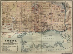
Antique map of Toronto from 1894
"Toronto" from Baedeker, Karl. The Dominion of Canada with Newfoundland and an Excursion...
319 miles away
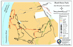
Hurd State Park trail map
Trail map for Hurd State Park in Connecticut.
319 miles away
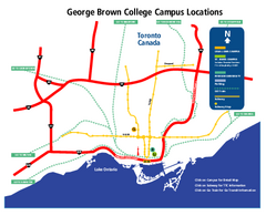
George Brown College Campus Map
George Brown College Campus Map. Shows all buildings.
319 miles away
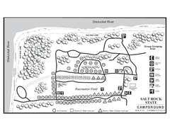
Salt Rock State Park campground map
Campground Map of Salt Rock State Campground in Connecticut.
319 miles away
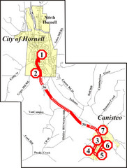
Canisteo-Hornell Bus Route Map
320 miles away
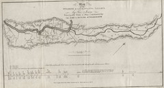
Wyoming and Lackawanna Valleys Map
Railbed from the coal mine at Carbondale to the canal on the Lackawaxen River. Historical map.
321 miles away

1978 Bradford County, Pennsylvania Map
321 miles away
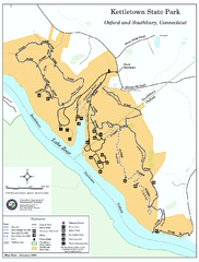
Kettletown State Park trail map
Trail map for Kettletown State Park in Connecticut.
321 miles away
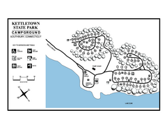
Kettletown State Park campground map
Campground map for Kettletown State Park in Connecticut.
321 miles away
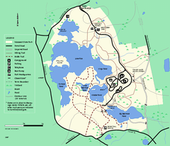
Massasoit State Park trail map
Trail map of Massasoit State Park in Massachusetts
321 miles away
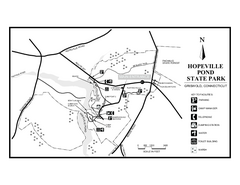
Hopeville Pond State Park trail map
Trail map for Hopevill Pond State Park in Connecticut
321 miles away
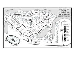
Hopeville Pond campground map
Campground map of Hopeville Pond State Park in Connecticut.
321 miles away

Ski Big Bear Ski Trail Map
Trail map from Ski Big Bear.
322 miles away
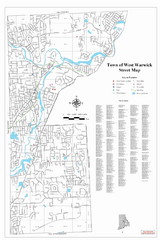
West Warwick Town Map
Street map of W. Warwick
322 miles away

