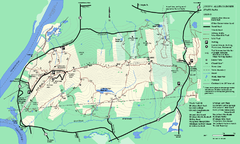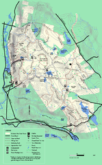
October Mountain State Forest trail map
Trail map of October Mountain State Forest in Massachusetts.
259 miles away
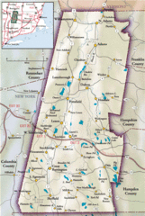
Berkshires Map
Overview map of the Berkshires region of Western Massachusetts
259 miles away
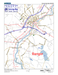
Bangor, Me, USA Map
Maine Coast Welcome Center's local Map of Bangor, Me with recommended business locations.
260 miles away
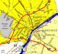
Bangor City Map
Airport, roads and interstates are on this map.
260 miles away

Brighton-Township, Ontario Map
260 miles away
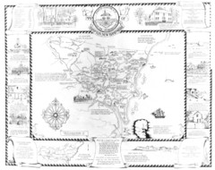
Hampton, New Hampshire Historical Map
Historical map of Hampton, New Hampshire. Illustrated map includes roads and historical buildings.
260 miles away
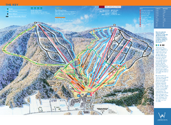
Windham Mountain Ski Trail Map
Trail map from Windham Mountain.
260 miles away
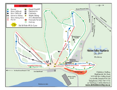
Hidden Valley Highlands Ski Trail Map
Trail map from Hidden Valley Highlands, which provides downhill skiing. This ski area has its own...
260 miles away
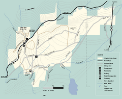
Windsor State Forest trail map
Trail map of Windsor State Forest in Massachusetts.
261 miles away
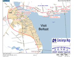
Belfast, Maine, USA Map
Maine Coast Welcome Center's local Map of Belfast, Me with recommended business locations. You...
261 miles away
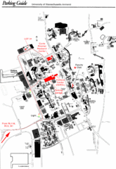
University of Massachusetts Amherst Parking Map
Map of the University of Massachusetts. Includes all buildings, streets, and parking information.
261 miles away
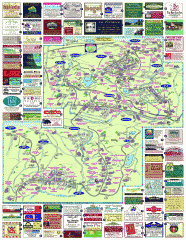
South County Berkshires map
Tourist map of Great Barrington, Housatonic, Sheffield, S. Egremont, N. Egremont Lenox, Stockbridge...
261 miles away
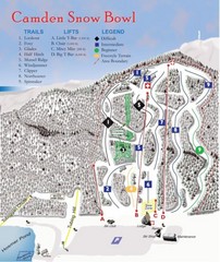
Camden Snow Bowl Ski Trail Map
Trail map from Camden Snow Bowl.
261 miles away
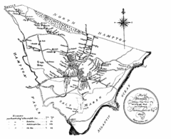
Hampton NH Map 1806
1806 map of Hampton, NH. Shows roads and settlements.
262 miles away
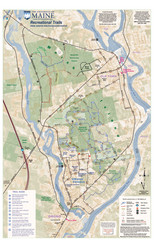
University of Maine Recreation Trails Map
Trails marked connecting two busy towns of Old Town and Orono.
262 miles away
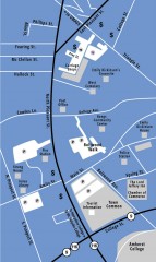
Downtown Amherst, Massachusetts Map
Tourist map of downtown Amherst, Massachusetts, showing attractions, government buildings, atms...
262 miles away
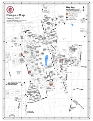
University of Massachusetts - Amherst Map
Campus Map of the University of Massachusetts - Amherst. All buildings shown.
262 miles away
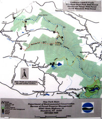
Northern Catskill Trail Map
Trail map shows hiking trails in the northern Catskills of New York. Shows trails in Windham High...
262 miles away
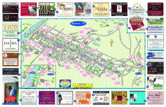
Hudson Tourist Map
Tourist map of Hudson, New York showing all tourist points of interest. Ads around border.
262 miles away
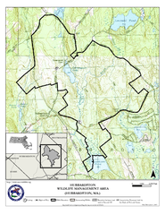
Hubbardston WMA Map
262 miles away
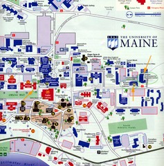
University of Maine Map
Campus map
263 miles away
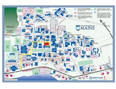
University of Maine Campus Map
263 miles away
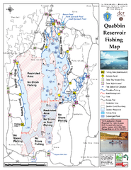
Quabbin Reservoir Fishing Map
Fishing access map of Quabbin Reservoir. Shows all ponds and submerged ponds.
263 miles away
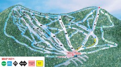
Plattekill Ski Trail Map
Official ski trail map of Plattekill ski area from the 2007-2008 season.
263 miles away
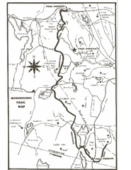
Monoosnoc Trail Map
263 miles away
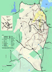
Wachusett Mountain State Reservation trail map
Trail map of Wachusett Mountain State Reservation in Massachusetts.
263 miles away
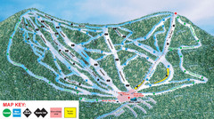
Ski Plattekill Ski Trail Map
Trail map from Ski Plattekill.
263 miles away
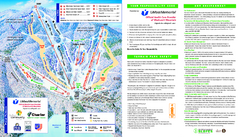
Wachusett Mountain Ski Trail Map
Trail map from Wachusett Mountain.
263 miles away
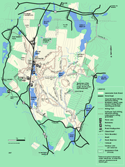
Leominster State Forest trail map
Trail map of Leominster State Forest in Massachusetts
263 miles away
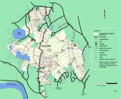
Lowell-Dracut-Tyngsboro State Forest trail map
Trail map for the Lowell-Dracut-Tyngsboro State Forest in Massachusetts
264 miles away
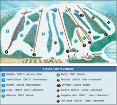
Devil’s Elbow Ski Trail Map
Trail map from Devil’s Elbow, which provides downhill skiing. This ski area has its own website.
264 miles away
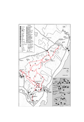
Camden Hills State Park map
Trail map for Camden Hills State Park in Vermont
264 miles away
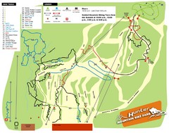
Hunter Mountain Bike Park Map
Map of bike trails in park
264 miles away
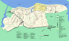
Maudslay State Park trail map
Trail Map of Maudslay State Park in Massachusetts.
265 miles away
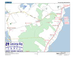
Lincolnville, Maine, USA Map
Maine Coast Welcome Center's local Map of Lincolnville, Me with recommended business locations.
265 miles away
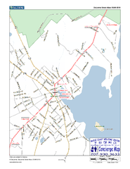
Camden, Maine, USA Map
Maine Coast Welcome Center's local Map of Camden, Me with recommended business locations.
265 miles away
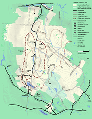
Beartown State Park Summer Map
Summer Map of Beartown State Park in Massachusetts.
265 miles away
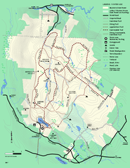
Beartown State Park Winter Map
Winter use map of Beartown State Park in Massachusetts
266 miles away
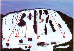
Ski Bradford Ski Trail Map
Trail map from Ski Bradford.
266 miles away

