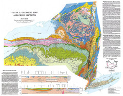
New York State Geologic Map
1:1,000,000 scale geological map of New York State
247 miles away
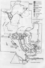
Gilbert Lake State Park Map
247 miles away
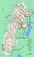
Pittsfield State Forest winter trail map
Winter use trail map of Pittsfield State Forest in Massachusetts.
248 miles away
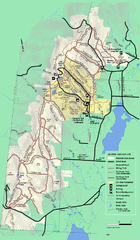
Pittsfield State Forest summer trail map
Summer use trail map of Pittsfield State Forest in Massachusetts.
248 miles away
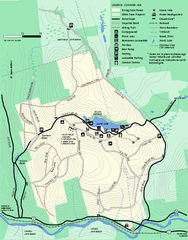
Erving Summer trail map
Summer use map of Erving State Park in Massachusetts.
248 miles away
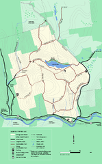
Erving State Park winter use map
Winter use map of the Erving State Park in Massachusetts
248 miles away
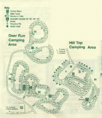
Gilbert Lake State Park Camping Map
248 miles away
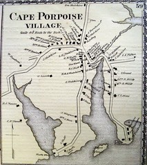
Cape Porpoise Village Map
249 miles away
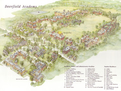
Deerfield Academy Campus Map
Shows buildings and facilities of Deerfield Academy. Scanned.
249 miles away
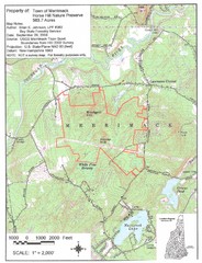
Merrimack Topo Map
A Topographical map Horse Hill Nature Preserve.
249 miles away
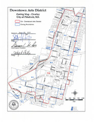
Pittsfield,, Massachusetts City Map
250 miles away
Mt. Watatic to Wachusett Mountain, Massachusetts...
250 miles away
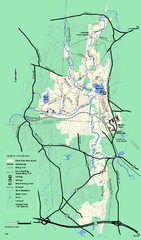
Otter River State Forest winter trail map
Winter usage trail map for Otter River State Park in Massachusetts.
251 miles away
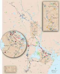
New Hampshire Transit Map
Guide to COAST and Wildcat Transit lines in New Hampshire
251 miles away
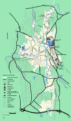
Otter River State Forest summer trail map
Summer trail map of the Otter River State Forest area in Massachusetts.
252 miles away
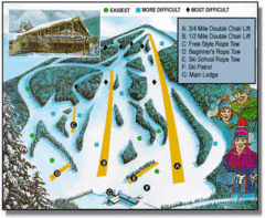
Bousquet Ski Area Ski Trail Map
Trail map from Bousquet Ski Area.
252 miles away
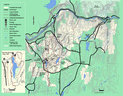
Wendell State Forest trail map
Trail map of Wendell State Forest in Massachusetts.
252 miles away
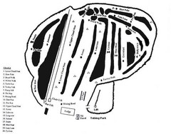
Hermon Mountain Ski Trail Map
Trail map from Hermon Mountain.
252 miles away
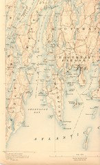
Boothbay Island Map
Topographical map of Boothbay Island and surrounding areas
252 miles away
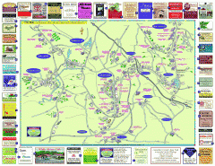
Columbia County - Austerlitz, Canaan, Chatham...
Tourist map of Columbia County including towns of Austerlitz, Canaan, Chatham, East Chatham Ghent...
253 miles away
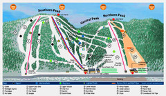
Labrador Mountain Ski Trail Map
Trail map from Labrador Mountain.
253 miles away

Marcellus Snowmobile Trail Map
Map of snowmobile trails throughout Marcellus area
254 miles away
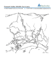
Pleasant Valley Wildlife Sanctuary Trail Map
Trail map of Pleasant Valley Wildlife Sanctuary
254 miles away
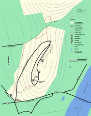
Mt. Sugarloaf State Reservation trail map
Trail map of Mount Sugarloaf State Reservation
254 miles away

Song Mountain Ski Trail Map
Trail map from Song Mountain.
254 miles away
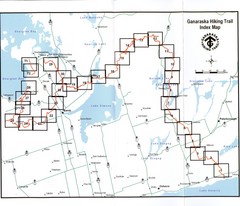
Ganaraska Hiking Trail Map
Map of the hiking trail at Ganaraska forest in Canada. Shows roads, surrounding lakes, towns and...
254 miles away
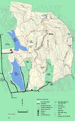
DAR State Forest winter map
Winter use map of the Daughters of the American Revolution State Forest.
254 miles away
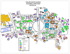
Phillips Exeter Academy Campus Map
Phillips Exeter Academy Campus Map
255 miles away
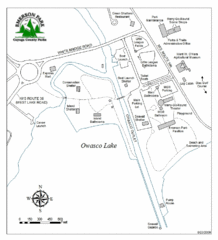
Emerson Park Map
255 miles away
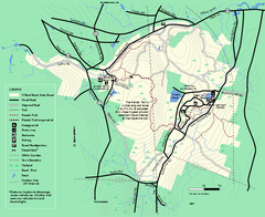
Willard Brook State Forest trail map
Trail map of Willard Brook State Forest in Massachusetts.
255 miles away
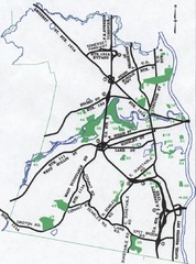
Nashua Parks Map
Map of Nashua, New Hampshire parks
256 miles away

Brantling Ski Slopes Ski Trail Map
Trail map from Brantling Ski Slopes.
256 miles away
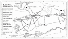
Lenox Town Map
Hand-drawn town map of Lenox, Mass. Bordered by Lenox Mountain and October Mountain. Shows points...
256 miles away
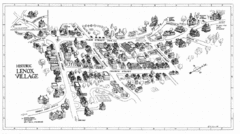
Lenox Village Map
Hand-drawn village map of historic center of Lenox, Massachusetts
256 miles away
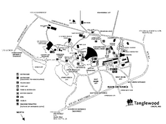
Tanglewood Map
Detailed map of the Tanglewood grounds that includes the location of the Box Office, Friends Office...
257 miles away
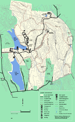
DAR State Forest summer map
Summer use map of the Daughters of the American Revolution state forest.
257 miles away
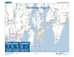
Boothbay Area, Maine, USA Map
Maine Coast Welcome Center's local Map of the Boothbay, Maine area with recommended business...
258 miles away
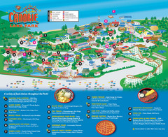
Canobie Lake Park Map
258 miles away
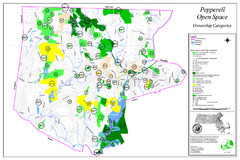
Pepperell Conservation Land and Open Spaces Map
Map showing conservation land and open spaces in Pepperell, MA.
258 miles away

