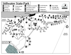
Stillwater State Park Campground Map
Campground map for Stillwater State Park in Vermont
311 miles away
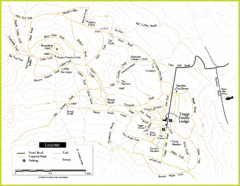
Trapp Ski Center Trail Map
Map of trails in the ski center at the Trapp Family Lodge
311 miles away
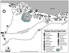
Ricker Pond State Park Campground Map
Campground map of Ricker Pond State Park in Vermont
311 miles away
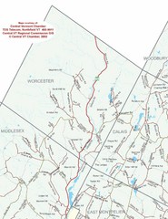
Worcester Town Map
Town map of Worcester, Vermont and surrounding areas
311 miles away
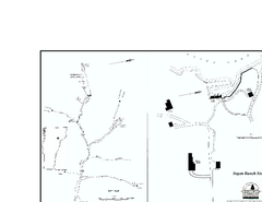
Seyon Lodge State Park Map
Campground map of Seyon Lodge State Park in Vermont
312 miles away
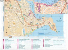
Falmouth Map
Map of Falmouth town and bay. Includes roads, parks, accommodations and attractions.
312 miles away
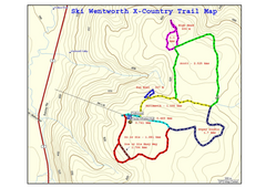
Ski Wentworth Nordic Ski Trail Map
Trail map from Ski Wentworth, which provides downhill and nordic skiing. This ski area has its own...
312 miles away
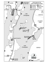
State Parks of the Champlain Islands Map
Map of the various State Parks of the Inland Sea / Lake Champlain area in Vermont
312 miles away
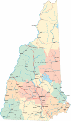
New Hampshire Road Map
Road map of New Hampshire
312 miles away
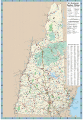
New Hampshire Boating and Fishing Public Access...
Shows public access boating and fishing sites and depth maps for state of New Hampshire
312 miles away
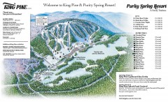
King Pine Ski trail Map
Official ski trail map of King Pine ski area from the 2006-2007 season.
313 miles away
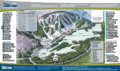
King Pine Ski Area Ski Trail Map
Trail map from King Pine Ski Area.
313 miles away
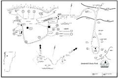
Underhill State Park Campground Map
Campground map for Underhill State Park in Vermont.
313 miles away
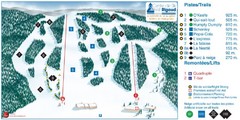
Ski Mont Rigaud Ski Trail Map
Trail map from Ski Mont Rigaud, which provides downhill skiing. This ski area has its own website.
313 miles away
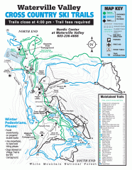
Waterville Valley Nordic Trail Map
Official nordic trail map. Over 70 kilometers (40 + miles) of groomed trails.
314 miles away
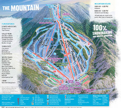
Waterville Valley Ski Trail Map
Trail map from Waterville Valley.
314 miles away
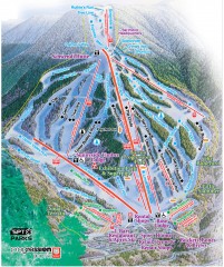
Waterville Valley Ski Trail Map
Official ski trail map of Waterville Valley ski area
314 miles away
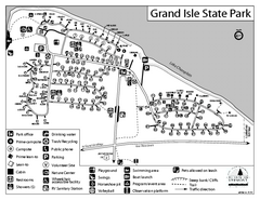
Grand Isle State Park Campground Map
Campground map for Grand Isle State Park in Vermont
315 miles away
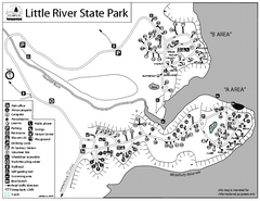
Little River State Park Campground Map
Campground map of Little River State Park in Vermont
316 miles away
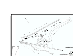
Sand Bar State Park Map
Campground map of Sand Bar State Park in Vermont
316 miles away
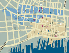
Portland, Maine Tourist Map
317 miles away
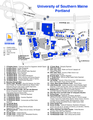
University of Southern Maine - Portland Map
317 miles away
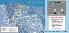
Bolton Valley Resort Ski Trail Map
Trail map from Bolton Valley Resort.
317 miles away
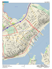
Portland, Maine City Map
317 miles away
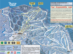
Bolton Valley Resort ski trail map
Official ski trail map of Bolton Valley ski area from the 2005-2006 season.
317 miles away
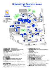
University of Southern Maine - Gorham Map
317 miles away
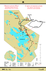
Kejimkujik National Park Map
Official Parks Canada map of Kejimkujik National Park, Nova Scotia. Shows lakes, trails, campsites...
317 miles away
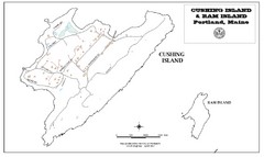
Cushing Island Map
Also shows Ram Island
317 miles away
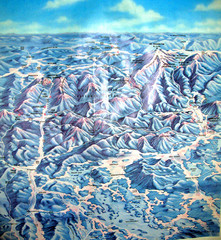
White Mountains New Hampshire Map
Old bird's eye view map of the White Mountain region of New Hampshire by Frank Thomas. Date of...
319 miles away
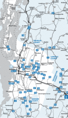
Chittenden County Map
319 miles away
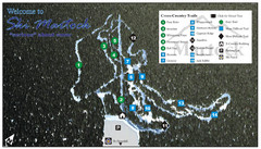
Ski Martock Nordic Ski Trail Map
Trail map from Ski Martock, which provides downhill and nordic skiing. This ski area has its own...
320 miles away
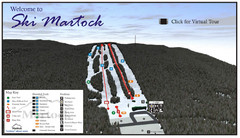
Ski Martock Ski Trail Map
Trail map from Ski Martock, which provides downhill and nordic skiing. This ski area has its own...
320 miles away
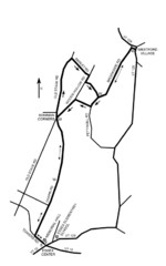
30K Race Course Map
Green Mountain Athletic Association Common to Common 30K Course Map in Essex Junction, VT
320 miles away
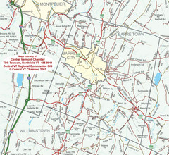
Barre, Vermont Guide Map
321 miles away
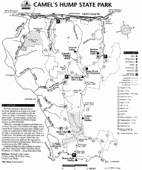
Camel's Hump State Park map
Map of Camel's Hump State Park, Vermont. Shows all hiking, snowmobile, and X-C ski trails...
321 miles away
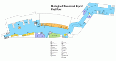
Burlington International Airport Terminal Map
Official Terminal Map of Burlington International Airport. All areas shown.
323 miles away
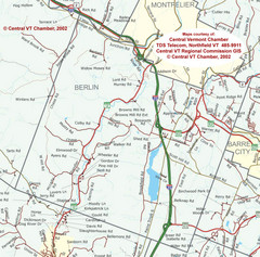
Berlin, Vermont Guide Map
323 miles away
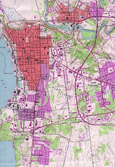
Burlington Vt 87 Map
Topographical map of the city of Burlington, Vt.
323 miles away
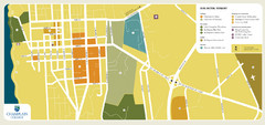
Burlington, Vermont City Tourist Map
The city of Burlington, Vermont
324 miles away

