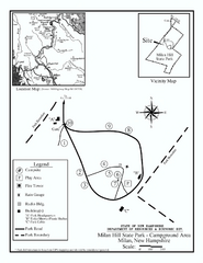
Milan Hill State Park Campground map
Campground map for Milan Hill State Park in New Hampshire.
270 miles away
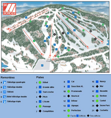
Ski Montcalm Ski Trail Map
Trail map from Ski Montcalm, which provides downhill skiing. This ski area has its own website.
270 miles away
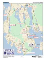
Southwest Harbor, Maine Map
Maine Coast Welcome Center's local Map of Southwest Harbor, Me with recommended business...
270 miles away
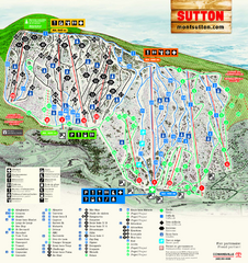
Mont Sutton Ski Trail Map
Trail map from Mont Sutton, which provides downhill skiing. This ski area has its own website.
270 miles away
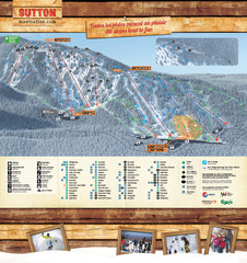
Mont Sutton Trail map
270 miles away
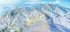
Sunday River Ski Resort Ski Trail Map
Trail map from Sunday River Ski Resort.
270 miles away
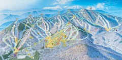
Sunday River Ski Trail map 2006-07
Official ski trail map of Sunday River ski area from the 2006-2007 season.
270 miles away
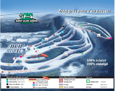
Mont Saint-Bruno Ski Trail Map
Trail map from Mont Saint-Bruno, which provides downhill skiing. This ski area has its own website.
272 miles away
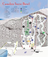
Camden Snow Bowl Ski Trail Map
Trail map from Camden Snow Bowl.
273 miles away
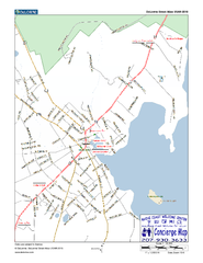
Camden, Maine, USA Map
Maine Coast Welcome Center's local Map of Camden, Me with recommended business locations.
273 miles away
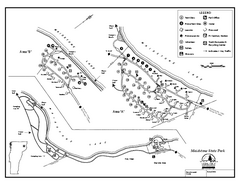
Maidstone State Park Campground Map
Campground map of Maidstone Lake State Park in Campground
273 miles away
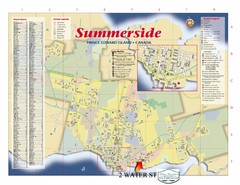
Summerside Tourist Map
Tourist map of Summerside, Prince Edward Island. Shows street index, mural tour, attractions, and...
273 miles away
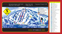
Mt. Abram Ski Resort Ski Trail Map
Trail map from Mt. Abram Ski Resort.
274 miles away
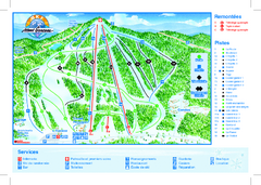
Mont Garceau Ski Trail Map
Trail map from Mont Garceau, which provides downhill and nordic skiing. This ski area has its own...
275 miles away
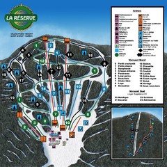
La Resérve Ski Trail Map
Trail map from La Resérve, which provides downhill skiing. This ski area has its own website.
275 miles away
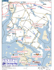
Blue Hill Peninsula, Maine, US Map
Maine Coast Welcome Center's local Map of the Blue Hill Peninsula, Me with recommended...
277 miles away
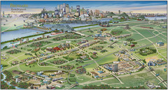
Pictorial map of Brossard
Brossard pictorial map
277 miles away
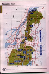
Richelieu River Guide Map
278 miles away
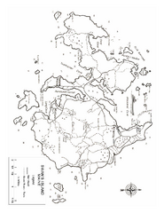
Swan's Island, ME Map
278 miles away
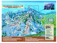
Jay Peak Ski Trail Map
Trail map from Jay Peak.
278 miles away
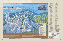
Jay Peak Ski Trail Guide Map
Official ski trail map of Jay Peak ski area from the 2006-207 season.
278 miles away
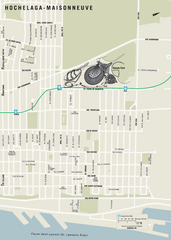
Hochelaga-Maisonneuve Map
280 miles away
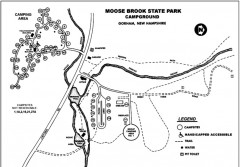
Moose Brook State Park map
Campground map of Moose Brook State Park in New Hampshire.
280 miles away
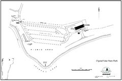
Crystal Lake State Park Map
Trail map of Crystal Lake State Park in Vermont
280 miles away
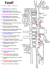
Rockland, Maine Restaurant Map
280 miles away
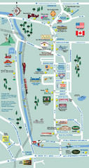
Mt. Washington Valley Restaurant Guide Map
Restaurants in Mt. Washington Valley, New Hampshire
280 miles away
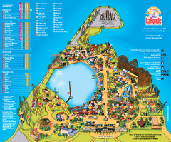
Six Flags La Ronde Theme Park Map
Official Park Map of Six Flags La Ronde Theme Park in Montreal, Quebec.
281 miles away
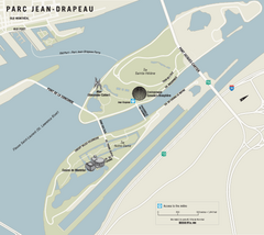
Parc Jean Drapeau Map
Park map of Parc Jean Drapeau in the St. Lawrence River, Montreal
281 miles away
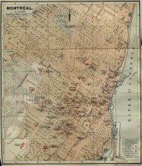
Antique map of Montreal from 1894
"Montreal" from Baedeker, Karl. The Dominion of Canada with Newfoundland and an Excursion...
282 miles away
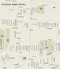
Plateau Mont Royal Map
282 miles away
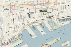
Old Montreal and Old Port Bike Map
Bike route map of Old Montreal and Old Port area
283 miles away
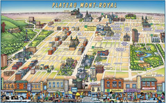
Plateau Mont-Royal Map
Pictorial view of Plateau Mont-Royal
283 miles away
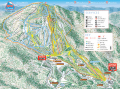
Burke Mountain Ski Trail Map
Trail map from Burke Mountain.
283 miles away
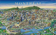
montreal Downtown Map
283 miles away
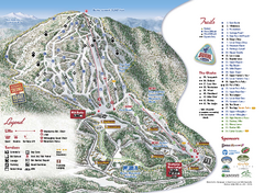
Burke Mountain Ski Trail Map
Official ski trail map of Burke Mountain ski area.
283 miles away
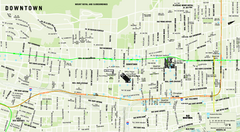
Downtown Montreal Map
Street map of central Montreal. Shows access to the metro and commuter train
283 miles away
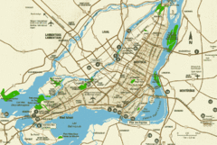
Montreal Tourist Map
284 miles away
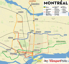
Montreal Tourist Map
284 miles away
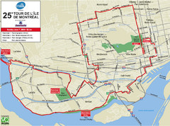
Montreal Tourist Map
284 miles away
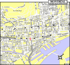
Montreal Tourist Map
284 miles away

