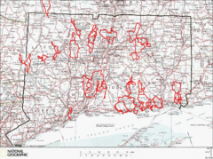
Connecticut Road Cycling Routes Map
A map of road cycling routes throughout Connecticut. Follow the link below for detailed route maps...
483 miles away
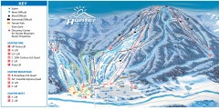
Hunter Mountain ski trail map
Official ski trail map of Hunter Mountain ski area from the 2006-2007 season.
484 miles away
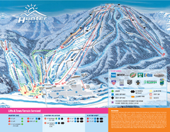
Hunter Mountain Ski Bowl Ski Trail Map
Trail map from Hunter Mountain Ski Bowl.
484 miles away
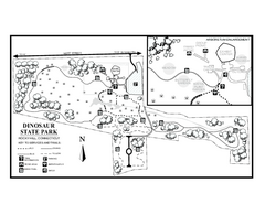
Dinosaur State Park map
Trail map of Dinosaur State Park in Connecticut.
484 miles away
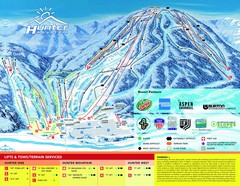
Hunter Mountain Trail Map
484 miles away
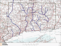
Connecticut Rivers and Coastal Paddling Map
This is a map of paddling areas for rivers and coastal kayaking. Follow the link below for...
484 miles away
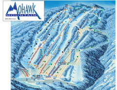
Mohawk Mountain Ski Trail Map
Ski trail map of Mohawk Mountain ski area
485 miles away

North Mohawk Mountain State Forest (Winter Trails...
Winter trail map for North Mohawk Mountain State Forest in Connecticut.
485 miles away

North Mohawk Mountain State Forest (Summer Trails...
Summer trail map of the North section of Mohawk Mountain State Forest in Connecticut.
485 miles away
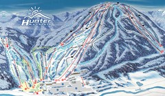
Hunter Mountain Trail Map
Ski trail map
485 miles away
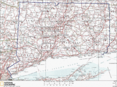
Connecticut Rock Climbing Locations Map
A map of most of the important rock climbing and bouldering areas in Connecticut. Click the link...
486 miles away
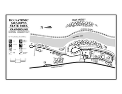
Housatonic State Forest campground map
Campground map of Housatonic State Forest in Connecticut.
486 miles away

Salmon River State Forest trail map
Trail map for Salmon River State Forest in Connecticut.
486 miles away
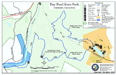
Daypond State Park map
Trail map for Day Pond State Park
486 miles away
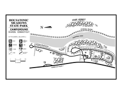
Housatonic Meadows State Park campground map
Campground map for Housatonic Meadows State Park in Connecticut.
486 miles away
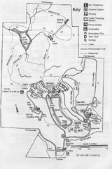
Gilbert Lake State Park Map
486 miles away

South Mohawk Mountain State Forest (Winter Trails...
Winter trial map for the Southern Section of Mohawk Mountain State Forest in Connecticut.
486 miles away
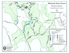
South Mohawk Mountain State Forest (Summer Trails...
Summer trails for South Mohawk State Forest in Connecticut.
486 miles away
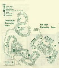
Gilbert Lake State Park Camping Map
487 miles away

Topsmead State Forest map
Trail map for Topsmead State Forest in Connecticut.
487 miles away
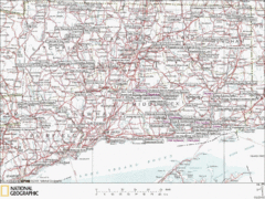
Connecticut Canoeing and Kayaking Lakes Map
A map of the lakes and ponds that are open for canoeing and kayaking in Connecticut. For detailed...
488 miles away
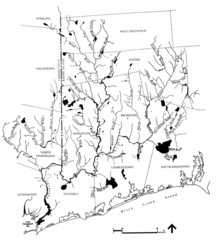
Rhode Island Coastal Watershed Map
Paddling Guide of Pawcatuck River Watershed
488 miles away
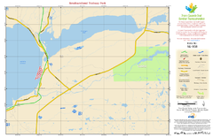
Newfoundland Trailway Park NL-008 Map
488 miles away
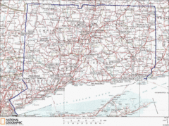
Connecticut State Parks Map
This is statewide map for Connecticut state parks. Go to the source website for detailed hiking...
489 miles away
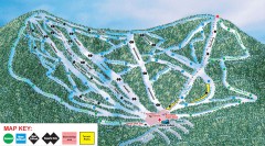
Plattekill Ski Trail Map
Official ski trail map of Plattekill ski area from the 2007-2008 season.
490 miles away
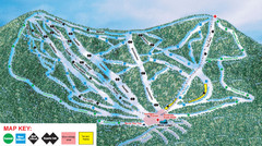
Ski Plattekill Ski Trail Map
Trail map from Ski Plattekill.
490 miles away

Poets Walk Trail Map
Guide to Poet's Walk and Hudson River Overlook
490 miles away
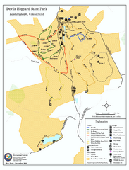
Devils Hophard State Park map
Trail and camprground map for Devils Hopyard State Park in Connecticut.
490 miles away
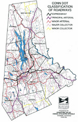
Connecticut Roadway Classification Map
490 miles away
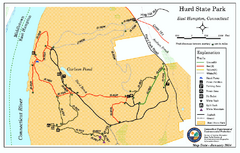
Hurd State Park trail map
Trail map for Hurd State Park in Connecticut.
490 miles away

New York State Fairgrounds Map
491 miles away
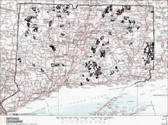
Connecticut State Forests Map
This is a map of all of the state forest boundaries in Connecticut. Follow the source web address...
491 miles away
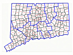
Connecticut Town Map
491 miles away
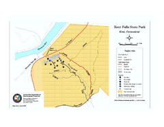
Kent Falls State Park trail map
Trail map of Kent Falls State Park in Connecticut.
491 miles away
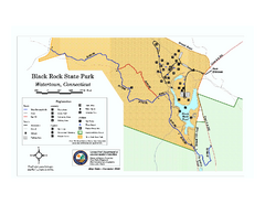
Black Rock State Park trail map
Trail map of Black Rock State Park in Connecticut.
492 miles away
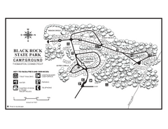
Black Rock Campground map
Map of the Campgrounds in Black Rock State Park.
492 miles away
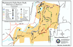
Wadsworth Falls State Park map
Trail map of Wadsworth Falls State Park in Connecticut.
492 miles away
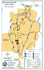
Macedonia Brook State Park trail map
Trail map of Macedonia Brook State Park in Connecticut.
493 miles away
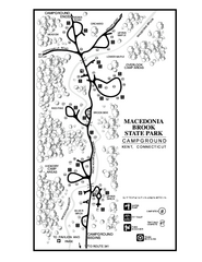
Macedonia Brook State Park campground map
Campground map for Macedonia Brook State Park in Connecticut.
493 miles away
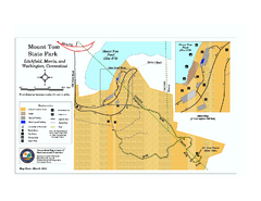
Mount Tom State Park trail map
Trail map of Mt. Tom State Park in Connecticut.
493 miles away

